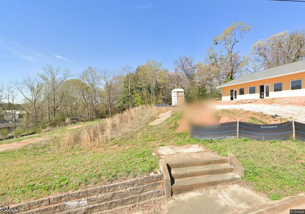
705 Campbell St Lagrange, GA 30240
Estimated Value: $142,612
3
Beds
1
Bath
2,400
Sq Ft
$59/Sq Ft
Est. Value
About This Home
This home is located at 705 Campbell St, Lagrange, GA 30240 and is currently priced at $142,612, approximately $59 per square foot. 705 Campbell St is a home located in Troup County with nearby schools including Franklin Forest Elementary School, Hollis Hand Elementary School, and Ethel W. Kight Elementary School.
Ownership History
Date
Name
Owned For
Owner Type
Purchase Details
Closed on
Feb 25, 2019
Sold by
Dallas Josephine
Bought by
Dunn Hang N
Current Estimated Value
Purchase Details
Closed on
Sep 6, 2002
Sold by
Warren Minnifield
Bought by
Dallas Josephine
Purchase Details
Closed on
Jun 11, 2002
Sold by
Eleanor L Hines
Bought by
Warren Minnifield
Purchase Details
Closed on
Jan 8, 1998
Bought by
Eleanor L Hines
Purchase Details
Closed on
Jan 1, 1949
Sold by
Ward Lula Estate-No Deed Bk and Ward Pg
Purchase Details
Closed on
Mar 4, 1905
Sold by
Young R M
Bought by
Ward Lula Estate-No Deed Bk and Ward Pg
Create a Home Valuation Report for This Property
The Home Valuation Report is an in-depth analysis detailing your home's value as well as a comparison with similar homes in the area
Purchase History
| Date | Buyer | Sale Price | Title Company |
|---|---|---|---|
| Dunn Hang N | $15,000 | -- | |
| Dallas Josephine | $15,000 | -- | |
| Warren Minnifield | $15,000 | -- | |
| Eleanor L Hines | -- | -- | |
| -- | -- | -- | |
| Ward Lula Estate-No Deed Bk | -- | -- |
Source: Public Records
Tax History
| Year | Tax Paid | Tax Assessment Tax Assessment Total Assessment is a certain percentage of the fair market value that is determined by local assessors to be the total taxable value of land and additions on the property. | Land | Improvement |
|---|---|---|---|---|
| 2025 | $2,305 | $84,520 | $8,760 | $75,760 |
| 2024 | $2,305 | $84,520 | $8,760 | $75,760 |
| 2023 | $2,146 | $78,680 | $8,760 | $69,920 |
| 2022 | $1,047 | $37,520 | $8,760 | $28,760 |
| 2021 | $264 | $8,760 | $8,760 | $0 |
| 2020 | $181 | $8,760 | $8,760 | $0 |
| 2019 | $293 | $9,720 | $9,720 | $0 |
| 2018 | $293 | $9,720 | $9,720 | $0 |
| 2017 | $249 | $9,720 | $9,720 | $0 |
| 2016 | $560 | $18,584 | $5,460 | $13,124 |
| 2015 | $565 | $18,690 | $5,566 | $13,124 |
| 2014 | $545 | $18,000 | $5,566 | $12,433 |
| 2013 | -- | $21,977 | $5,576 | $16,401 |
Source: Public Records
Map
Nearby Homes
- 219 Banks St
- 109 Thomas St
- 0 Ridley Ave Unit 10550104
- 609 Ridley Ave
- 707 Ridley Ave
- 611 Ridley Ave
- 615 Ridley Ave
- 709 Ridley Ave
- 301 E Bacon St
- 202 Park Hill Dr
- 102 Dogwood Dr
- 222 Beechwood Cir
- 900 North St
- 110 Russell St
- 706 N Harlem Cir
- 204 Colonial St
- 131 Foch St
- 806 New Franklin Rd
- 616 S Harlem Cir
- 120 Saynor Cir
- 102 Mitchell Ave
- 725 Campbell St
- 101 Mitchell Ave
- 705 Ridley Ave
- 115 Mitchell Ave
- 108 Mitchell Ave
- 716 Ridley Ave
- 110 Mitchell Ave
- 305 New Franklin Rd
- 718 Ridley Ave
- 0 Commerce Unit TR 4 7308768
- 112 Mitchell Ave
- 724 Ridley Ave
- 114 Mitchell Ave
- 719 Ridley Ave
- 604 Ridley Ave
- 730 Ridley Ave
- 723 Ridley Ave
- 723 Ridley Ave
- 104 Banks St
Your Personal Tour Guide
Ask me questions while you tour the home.