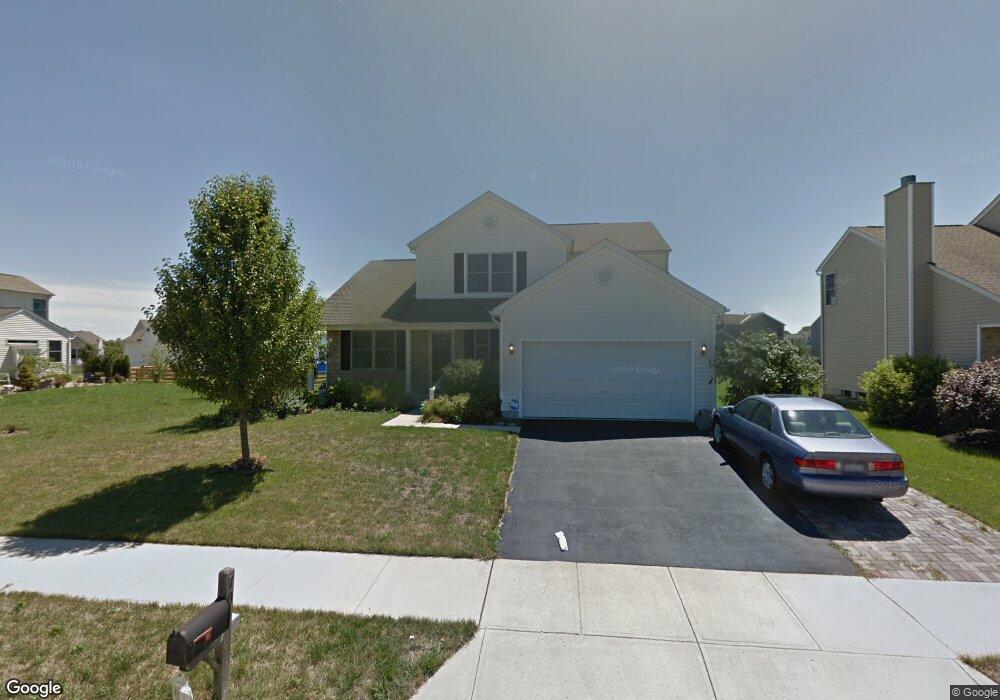
705 Canal St Delaware, OH 43015
Estimated Value: $398,000 - $435,000
3
Beds
3
Baths
2,140
Sq Ft
$194/Sq Ft
Est. Value
About This Home
This home is located at 705 Canal St, Delaware, OH 43015 and is currently estimated at $414,936, approximately $193 per square foot. 705 Canal St is a home located in Delaware County with nearby schools including Robert F. Schultz Elementary School, John C. Dempsey Middle School, and Rutherford B. Hayes High School.
Ownership History
Date
Name
Owned For
Owner Type
Purchase Details
Closed on
Jul 5, 2005
Sold by
Dominion Homes Inc
Bought by
Faulk Larry D and Faulk Pamela S
Current Estimated Value
Home Financials for this Owner
Home Financials are based on the most recent Mortgage that was taken out on this home.
Original Mortgage
$176,000
Outstanding Balance
$90,147
Interest Rate
5.37%
Mortgage Type
New Conventional
Estimated Equity
$324,789
Purchase Details
Closed on
Jul 1, 2004
Sold by
George Terry E
Bought by
Dominion Homes Inc
Create a Home Valuation Report for This Property
The Home Valuation Report is an in-depth analysis detailing your home's value as well as a comparison with similar homes in the area
Home Values in the Area
Average Home Value in this Area
Purchase History
| Date | Buyer | Sale Price | Title Company |
|---|---|---|---|
| Faulk Larry D | $220,000 | Alliance Title | |
| Dominion Homes Inc | -- | -- | |
| George Terry E | -- | Alliance Title |
Source: Public Records
Mortgage History
| Date | Status | Borrower | Loan Amount |
|---|---|---|---|
| Open | Faulk Larry D | $176,000 | |
| Closed | Faulk Larry D | $44,000 |
Source: Public Records
Tax History
| Year | Tax Paid | Tax Assessment Tax Assessment Total Assessment is a certain percentage of the fair market value that is determined by local assessors to be the total taxable value of land and additions on the property. | Land | Improvement |
|---|---|---|---|---|
| 2024 | $5,429 | $124,780 | $19,600 | $105,180 |
| 2023 | $5,468 | $124,780 | $19,600 | $105,180 |
| 2022 | $4,470 | $90,760 | $15,930 | $74,830 |
| 2021 | $4,569 | $90,760 | $15,930 | $74,830 |
| 2020 | $4,621 | $90,760 | $15,930 | $74,830 |
| 2019 | $4,228 | $76,760 | $12,250 | $64,510 |
| 2018 | $4,287 | $76,760 | $12,250 | $64,510 |
| 2017 | $3,781 | $66,080 | $11,200 | $54,880 |
| 2016 | $3,297 | $66,080 | $11,200 | $54,880 |
| 2015 | $3,316 | $66,080 | $11,200 | $54,880 |
| 2014 | $3,369 | $66,080 | $11,200 | $54,880 |
| 2013 | $3,904 | $66,080 | $11,200 | $54,880 |
Source: Public Records
Map
Nearby Homes
- 112 Silverline Dr
- 865 Canal St
- 440 Steeplechase St
- 69 Greenhedge Cir Unit 69
- 345 Lenell Loop
- 100 Quarry Ct
- 0 S Houk Rd
- 123 Schellinger St
- 195 Lenell Loop
- 100 Gold Dust Ct
- 238 Richards Dr
- 236 Richards Dr
- 183 Schellinger St
- 370 Little Creek Dr Unit 370
- 181 Delaware Dr
- 644 Lehner Woods Blvd
- 512 Lehner Woods Blvd
- 10 Penick Ave
- 90 Richards Dr
- 101 Franks Field Dr Unit Lot 13845
- 705 Canal St Unit 8164
- 711 Canal St
- 711 Canal St Unit 8163
- 267 Rockmill St
- 259 Rockmill St
- 717 Canal St
- 717 Canal St Unit 8162
- 251 Rockmill St
- 239 Rockmill St
- 706 Canal St
- 706 Canal St Unit 8140
- 235 Rockmill St
- 275 Rockmill St
- 712 Canal St
- 712 Canal St Unit 8141
- 723 Canal St Unit 8161
- 718 Canal St
- 279 Rockmill St
- 729 Canal St
- 724 Canal St
Your Personal Tour Guide
Ask me questions while you tour the home.