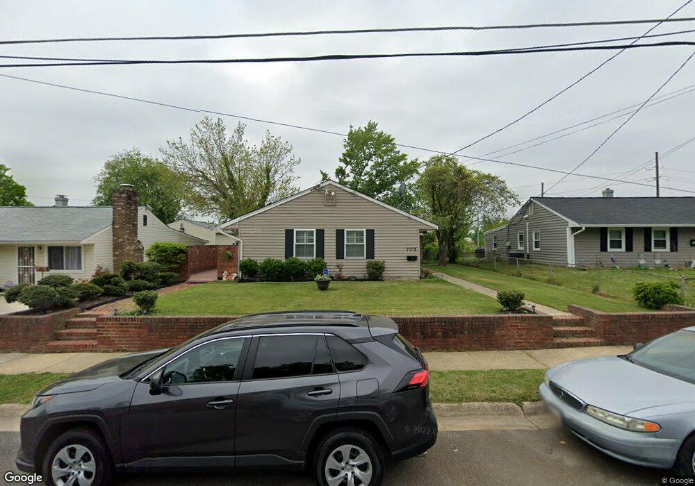
705 Carson Ave Oxon Hill, MD 20745
Estimated Value: $320,000 - $398,000
Studio
1
Bath
1,430
Sq Ft
$254/Sq Ft
Est. Value
About This Home
This home is located at 705 Carson Ave, Oxon Hill, MD 20745 and is currently estimated at $363,195, approximately $253 per square foot. 705 Carson Ave is a home located in Prince George's County with nearby schools including Flintstone Elementary School, Oxon Hill Middle School, and Oxon Hill High School.
Ownership History
Date
Name
Owned For
Owner Type
Purchase Details
Closed on
Jan 16, 2004
Sold by
Plater William J
Bought by
Bell Mary
Current Estimated Value
Purchase Details
Closed on
Aug 3, 2001
Sold by
Secretary Of Veterans Affairs
Bought by
Plater William J
Purchase Details
Closed on
Jun 28, 2000
Sold by
Pierce Floyd Anthony Jr Etal
Bought by
Secretary Of Veterans Affairs
Purchase Details
Closed on
Jun 30, 1995
Sold by
Hendrix James B
Bought by
Pierce Floyd A
Home Financials for this Owner
Home Financials are based on the most recent Mortgage that was taken out on this home.
Original Mortgage
$112,100
Interest Rate
7.8%
Create a Home Valuation Report for This Property
The Home Valuation Report is an in-depth analysis detailing your home's value as well as a comparison with similar homes in the area
Home Values in the Area
Average Home Value in this Area
Purchase History
| Date | Buyer | Sale Price | Title Company |
|---|---|---|---|
| Bell Mary | $145,000 | -- | |
| Plater William J | $87,000 | -- | |
| Secretary Of Veterans Affairs | $83,724 | -- | |
| Pierce Floyd A | $109,950 | -- |
Source: Public Records
Mortgage History
| Date | Status | Borrower | Loan Amount |
|---|---|---|---|
| Previous Owner | Pierce Floyd A | $112,100 |
Source: Public Records
Tax History
| Year | Tax Paid | Tax Assessment Tax Assessment Total Assessment is a certain percentage of the fair market value that is determined by local assessors to be the total taxable value of land and additions on the property. | Land | Improvement |
|---|---|---|---|---|
| 2025 | $3,607 | $318,233 | -- | -- |
| 2024 | $3,607 | $301,700 | $77,200 | $224,500 |
| 2023 | $3,478 | $285,767 | $0 | $0 |
| 2022 | $3,320 | $269,833 | $0 | $0 |
| 2021 | $3,142 | $253,900 | $76,100 | $177,800 |
| 2020 | $3,023 | $240,933 | $0 | $0 |
| 2019 | $2,897 | $227,967 | $0 | $0 |
| 2018 | $2,766 | $215,000 | $76,100 | $138,900 |
| 2017 | $2,651 | $190,100 | $0 | $0 |
| 2016 | -- | $165,200 | $0 | $0 |
| 2015 | $2,798 | $140,300 | $0 | $0 |
| 2014 | $2,798 | $140,300 | $0 | $0 |
Source: Public Records
Map
Nearby Homes
- 6914 Elkins Ave
- 554 Wilson Bridge Dr Unit 6755A( A2)
- 554 Wilson Bridge Dr Unit 6755 B-1
- 552 Wilson Bridge Dr Unit 6753 D-1
- 905 Lindsay Rd
- 534 Wilson Bridge Dr Unit 6735 B-1
- 522 Wilson Bridge Dr Unit C2
- 522 Wilson Bridge Dr Unit 6723 B-1
- 7225 Dominion Dr
- 544 Wilson Bridge Dr Unit 6745 B-2
- 1110 Vinson St
- 1004 White Oak Dr
- 507 Wilson Bridge Dr Unit 6706A-2
- 505 Wilson Bridge Dr Unit 6704 C-2
- 7521 Catone Ct
- 21 Balmoral Dr E
- 7536 Abbington Dr
- 561 Wilson Bridge Dr Unit B1
- 309 Cedar Ridge Dr
- 305 Cedar Ridge Dr
Your Personal Tour Guide
Ask me questions while you tour the home.