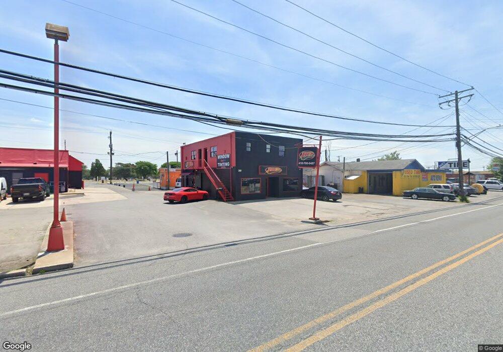
705 Crain Hwy N Glen Burnie, MD 21061
Estimated Value: $2,171,000
--
Bed
--
Bath
3,000
Sq Ft
$724/Sq Ft
Est. Value
About This Home
This home is located at 705 Crain Hwy N, Glen Burnie, MD 21061 and is currently estimated at $2,171,000, approximately $723 per square foot. 705 Crain Hwy N is a home located in Anne Arundel County with nearby schools including Richard Henry Lee Elementary School, Corkran Middle School, and Glen Burnie High School.
Ownership History
Date
Name
Owned For
Owner Type
Purchase Details
Closed on
Nov 26, 2019
Sold by
Dac Properties Llc
Bought by
Tnc Properties Llc
Current Estimated Value
Home Financials for this Owner
Home Financials are based on the most recent Mortgage that was taken out on this home.
Original Mortgage
$63,000
Outstanding Balance
$55,544
Interest Rate
3.6%
Estimated Equity
$2,115,456
Purchase Details
Closed on
Jan 15, 2003
Sold by
Jarzynski Daniel L
Bought by
Dac Properties Llc
Create a Home Valuation Report for This Property
The Home Valuation Report is an in-depth analysis detailing your home's value as well as a comparison with similar homes in the area
Home Values in the Area
Average Home Value in this Area
Purchase History
| Date | Buyer | Sale Price | Title Company |
|---|---|---|---|
| Tnc Properties Llc | $1,530,000 | Northco Title Corporation | |
| Dac Properties Llc | -- | -- |
Source: Public Records
Mortgage History
| Date | Status | Borrower | Loan Amount |
|---|---|---|---|
| Open | Tnc Properties Llc | $63,000 | |
| Closed | Tnc Properties Llc | $5,000 |
Source: Public Records
Tax History Compared to Growth
Tax History
| Year | Tax Paid | Tax Assessment Tax Assessment Total Assessment is a certain percentage of the fair market value that is determined by local assessors to be the total taxable value of land and additions on the property. | Land | Improvement |
|---|---|---|---|---|
| 2025 | $4,300 | $381,000 | $267,300 | $113,700 |
| 2024 | $4,300 | $377,333 | $0 | $0 |
| 2023 | $4,236 | $373,667 | $0 | $0 |
| 2022 | $4,014 | $370,000 | $267,300 | $102,700 |
| 2021 | $7,952 | $366,333 | $0 | $0 |
| 2020 | $3,945 | $362,667 | $0 | $0 |
| 2019 | $3,905 | $359,000 | $267,300 | $91,700 |
| 2018 | $3,640 | $359,000 | $267,300 | $91,700 |
| 2017 | $3,844 | $359,000 | $0 | $0 |
| 2016 | -- | $360,700 | $0 | $0 |
| 2015 | -- | $325,733 | $0 | $0 |
| 2014 | -- | $290,667 | $0 | $0 |
Source: Public Records
Map
Nearby Homes
- 0 Ritchie Hwy
- 412 6th Ave NE
- 933 Andrews Rd
- 1203 Branch Ln
- 108 New Jersey Ave NW
- 103 Janelin Dr
- 330 New Jersey Ave NE
- 454 Renfro Ct
- 898 Brighton Place
- 400 Renfro Dr
- 204 Carroll Rd
- 105 Chestnut Ln
- 114 Olen Dr
- 133 Glen Rd
- 281 Thompson Ave E
- 102 Kent Rd
- 202 Hollywood Ct
- 102 Kuethe Rd NE
- 210 Hollywood Ct
- 101 Kuethe Rd NE
- 701 Crain Hwy N
- 7214 Ritchie Hwy
- 7218 Ritchie Hwy
- 621 Crain Hwy S
- 7206 Ritchie Hwy
- 706 Crain Hwy N
- 7212 Ritchie Hwy
- 630 Crain Hwy N
- 7222 Ritchie Hwy
- 622 Crain Hwy N
- 7200 Ritchie Hwy
- 7224 Ritchie Hwy
- 7228 Ritchie Hwy
- 8020 8th Ave
- 7230 Ritchie Hwy
- 7232 Ritchie Hwy
- 804 Crain Hwy N
- 7166 Ritchie Hwy
- 7162 Ritchie Hwy
- 8 8th Ave NW