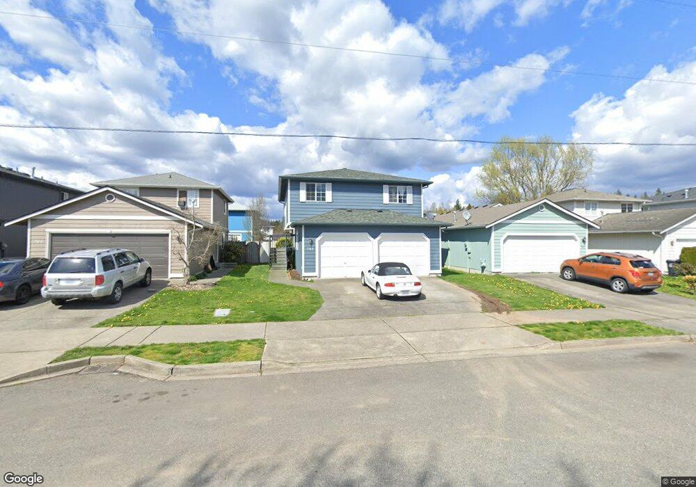
705 Date Ave Unit 26 Sultan, WA 98294
Estimated Value: $440,000 - $499,000
4
Beds
2
Baths
1,350
Sq Ft
$339/Sq Ft
Est. Value
About This Home
This home is located at 705 Date Ave Unit 26, Sultan, WA 98294 and is currently estimated at $457,632, approximately $338 per square foot. 705 Date Ave Unit 26 is a home located in Snohomish County with nearby schools including Sultan Senior High School.
Ownership History
Date
Name
Owned For
Owner Type
Purchase Details
Closed on
Sep 13, 1999
Sold by
D B Johnson Construction Inc
Bought by
Ochoa Alberto and Ochoa Bertha A
Current Estimated Value
Home Financials for this Owner
Home Financials are based on the most recent Mortgage that was taken out on this home.
Original Mortgage
$145,500
Outstanding Balance
$44,030
Interest Rate
8.09%
Mortgage Type
FHA
Estimated Equity
$413,602
Create a Home Valuation Report for This Property
The Home Valuation Report is an in-depth analysis detailing your home's value as well as a comparison with similar homes in the area
Home Values in the Area
Average Home Value in this Area
Purchase History
| Date | Buyer | Sale Price | Title Company |
|---|---|---|---|
| Ochoa Alberto | -- | Evergreen Title Company Inc |
Source: Public Records
Mortgage History
| Date | Status | Borrower | Loan Amount |
|---|---|---|---|
| Open | Ochoa Alberto | $145,500 |
Source: Public Records
Tax History Compared to Growth
Tax History
| Year | Tax Paid | Tax Assessment Tax Assessment Total Assessment is a certain percentage of the fair market value that is determined by local assessors to be the total taxable value of land and additions on the property. | Land | Improvement |
|---|---|---|---|---|
| 2025 | $3,475 | $426,800 | $205,000 | $221,800 |
| 2024 | $3,475 | $392,300 | $178,000 | $214,300 |
| 2023 | $3,001 | $383,400 | $191,000 | $192,400 |
| 2022 | $2,690 | $295,100 | $141,000 | $154,100 |
| 2020 | $2,383 | $237,700 | $108,000 | $129,700 |
| 2019 | $2,046 | $212,200 | $91,000 | $121,200 |
| 2018 | $2,104 | $176,600 | $63,000 | $113,600 |
| 2017 | $2,035 | $169,200 | $45,000 | $124,200 |
| 2016 | $2,183 | $177,600 | $57,000 | $120,600 |
| 2015 | $2,015 | $153,500 | $44,000 | $109,500 |
| 2013 | $1,673 | $124,000 | $37,000 | $87,000 |
Source: Public Records
Map
Nearby Homes
- 712 Alder St
- 306 3rd St
- 507 3rd St
- 204 Date Ave
- 870 4th St
- 512 1st St
- 604 Stevens Ave
- 415 1st St
- 404 11th St
- 405 Amberwood Cir
- 207 Willow Ave
- 907 Bryant Rd
- 14055 Sultan Basin Rd
- 1338 Cascade St
- 1326 11th St
- 1528 Gohr Rd
- 32302 135th Place SE
- 32306 135th Place SE
- 13432 323rd Dr SE
- 32310 135th Place SE
- 703 Date Ave Unit 25
- 707 Date Ave Unit 27
- 701 Date Ave Unit 24
- 709 Date Ave
- 704 Lois Ln Unit 36
- 702 Lois Ln Unit 37
- 706 Lois Ln Unit 35
- 711 Date Ave Unit 29
- 700 Lois Ln Unit 38
- 708 Lois Ln Unit 34
- 710 Lois Ln Unit 33
- 642 Date Ave
- 501 Lois Ln Unit 30
- 712 Lois Ln Unit 32
- 640 Date Ave
- 734 & 736 Date Ave
- 503 Lois Ln Unit 31
- 734 Date Ave
- 501 7th St Unit 23
- 705 Lois Ln Unit 14