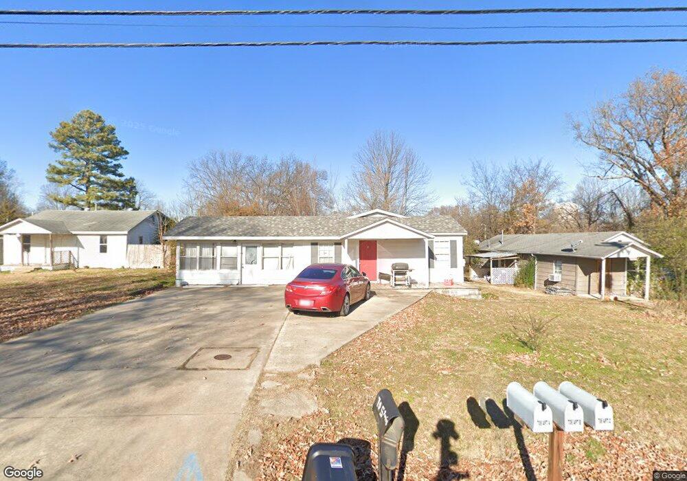
705 Davis St Poplar Bluff, MO 63901
Estimated Value: $70,000 - $121,000
Studio
--
Bath
1,609
Sq Ft
$57/Sq Ft
Est. Value
About This Home
This home is located at 705 Davis St, Poplar Bluff, MO 63901 and is currently estimated at $91,510, approximately $56 per square foot. 705 Davis St is a home with nearby schools including Poplar Bluff Fifth & Sixth Grade Center, Lake Road Elementary School, and Poplar Bluff Junior High School.
Ownership History
Date
Name
Owned For
Owner Type
Purchase Details
Closed on
Sep 11, 2015
Sold by
Jackson Amy Jean Deal and Ruble Hazel
Bought by
Berry Family Investments Llc
Current Estimated Value
Purchase Details
Closed on
Feb 12, 2015
Sold by
Springleaf Financial Services Inc
Bought by
Beis Rentals Llc
Purchase Details
Closed on
Sep 15, 2014
Sold by
Manis Robert and Manis Iva
Bought by
Springleaf Financial Services Inc and American General Financial Services Inc
Purchase Details
Closed on
Mar 25, 2013
Sold by
Manis Robert Edmond
Bought by
Solana Flynn Carla and Flynn Bryan
Create a Home Valuation Report for This Property
The Home Valuation Report is an in-depth analysis detailing your home's value as well as a comparison with similar homes in the area
Home Values in the Area
Average Home Value in this Area
Purchase History
| Date | Buyer | Sale Price | Title Company |
|---|---|---|---|
| Berry Family Investments Llc | -- | None Available | |
| Beis Rentals Llc | -- | None Available | |
| Springleaf Financial Services Inc | $36,000 | None Available | |
| Solana Flynn Carla | -- | None Available |
Source: Public Records
Tax History
| Year | Tax Paid | Tax Assessment Tax Assessment Total Assessment is a certain percentage of the fair market value that is determined by local assessors to be the total taxable value of land and additions on the property. | Land | Improvement |
|---|---|---|---|---|
| 2024 | $4 | $8,530 | $0 | $0 |
| 2023 | $412 | $8,530 | $0 | $0 |
| 2022 | $398 | $8,260 | $0 | $0 |
| 2021 | $398 | $8,260 | $0 | $0 |
| 2020 | $398 | $8,130 | $0 | $0 |
| 2019 | $397 | $8,130 | $0 | $0 |
| 2018 | $397 | $8,130 | $0 | $0 |
| 2017 | -- | $8,130 | $0 | $0 |
| 2016 | -- | $8,130 | $0 | $0 |
| 2015 | -- | $8,130 | $0 | $0 |
| 2014 | -- | $7,680 | $0 | $0 |
| 2012 | $327 | $7,680 | $0 | $0 |
Source: Public Records
Map
Nearby Homes
- 716 Ethel St
- 1330 & 1334 Abington St
- 1515 N 5th St
- 1901 Alice St
- 425 Davis St
- 725 N 10th St
- 505 Vaden Rd
- 719 Mary St
- 1220 W Davis St
- 1101 N Main St
- 402 W Harper St
- 948 W Harper St
- 916 Nooney St
- 1106 W Harper St
- 813 N Main St
- 1002 Tremont St
- 137 E Lexington Ave
- 1313 Peggy Ln
- 16 Brownwood Ct
- 35 Brownwood Ct
Your Personal Tour Guide
Ask me questions while you tour the home.