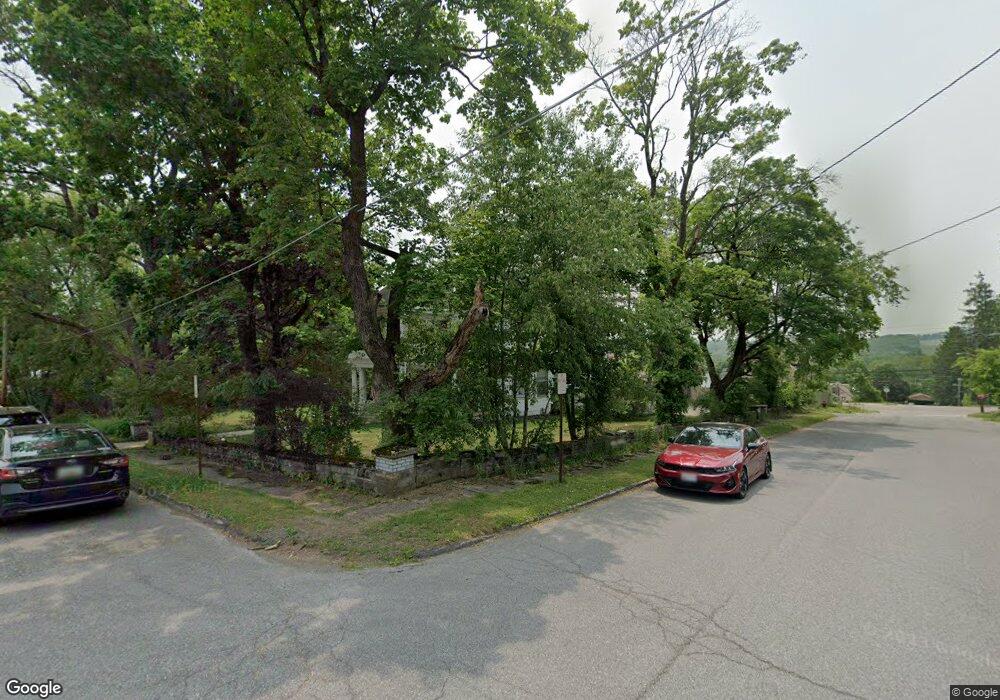
705 E Alder St Oakland, MD 21550
Estimated Value: $281,000 - $364,000
6
Beds
3
Baths
--
Sq Ft
21,780
Sq Ft
About This Home
This home is located at 705 E Alder St, Oakland, MD 21550 and is currently estimated at $326,771. 705 E Alder St is a home located in Garrett County with nearby schools including Broad Ford Elementary School, Southern Middle School, and Southern Garrett High School.
Ownership History
Date
Name
Owned For
Owner Type
Purchase Details
Closed on
Dec 6, 2012
Sold by
Kedzierski Mark A and Kedzierski Wendy C
Bought by
Toothman Jessica D
Current Estimated Value
Purchase Details
Closed on
May 19, 2009
Sold by
Hart Elizabeth H
Bought by
Kedzierski Mark A and Kedzierski Wendy C
Purchase Details
Closed on
Sep 8, 2006
Sold by
Hamill Marjorie R
Bought by
Hart Elizabeth H and Hamill Stuart F
Purchase Details
Closed on
Sep 7, 2006
Sold by
Hamill Marjorie R
Bought by
Hart Elizabeth H and Hamill Stuart F
Create a Home Valuation Report for This Property
The Home Valuation Report is an in-depth analysis detailing your home's value as well as a comparison with similar homes in the area
Home Values in the Area
Average Home Value in this Area
Purchase History
| Date | Buyer | Sale Price | Title Company |
|---|---|---|---|
| Toothman Jessica D | $160,000 | None Available | |
| Kedzierski Mark A | $110,000 | -- | |
| Hart Elizabeth H | -- | -- | |
| Hart Elizabeth H | -- | -- |
Source: Public Records
Mortgage History
| Date | Status | Borrower | Loan Amount |
|---|---|---|---|
| Closed | Kedzierski Mark A | -- |
Source: Public Records
Tax History
| Year | Tax Paid | Tax Assessment Tax Assessment Total Assessment is a certain percentage of the fair market value that is determined by local assessors to be the total taxable value of land and additions on the property. | Land | Improvement |
|---|---|---|---|---|
| 2025 | $2,979 | $222,600 | $25,000 | $197,600 |
| 2024 | $2,941 | $203,233 | $0 | $0 |
| 2023 | $2,842 | $183,867 | $0 | $0 |
| 2022 | $2,698 | $164,500 | $25,000 | $139,500 |
| 2021 | $2,677 | $163,233 | $0 | $0 |
| 2020 | $2,656 | $161,967 | $0 | $0 |
| 2019 | $2,635 | $160,700 | $25,000 | $135,700 |
| 2018 | $2,522 | $160,267 | $0 | $0 |
| 2017 | $2,516 | $160,700 | $0 | $0 |
| 2016 | -- | $159,400 | $0 | $0 |
| 2015 | -- | $155,533 | $0 | $0 |
| 2014 | -- | $151,667 | $0 | $0 |
Source: Public Records
Map
Nearby Homes
- 729 E Oak St
- 0 8th & Dennett Road St Unit MDGA2009886
- 1021 E High St
- 315 Coolidge Ave
- 0 N Hammond St
- 127 S Oakhall Dr
- 313 W Liberty St
- 723 Kings Ct
- 711 Heritage Dr
- 114 C St
- 609 Southern Pines Dr
- 0 C St
- 163 Crestview Dr
- 697 Monte Vista Rd
- 3.35 acres </> 4th St
- 1001 Sutter Ln
- 26 Green Brier Rd
- 0 Memorial Dr Unit MDGA2010668
- 809 N St
- 702 Sunshine Dr
Your Personal Tour Guide
Ask me questions while you tour the home.