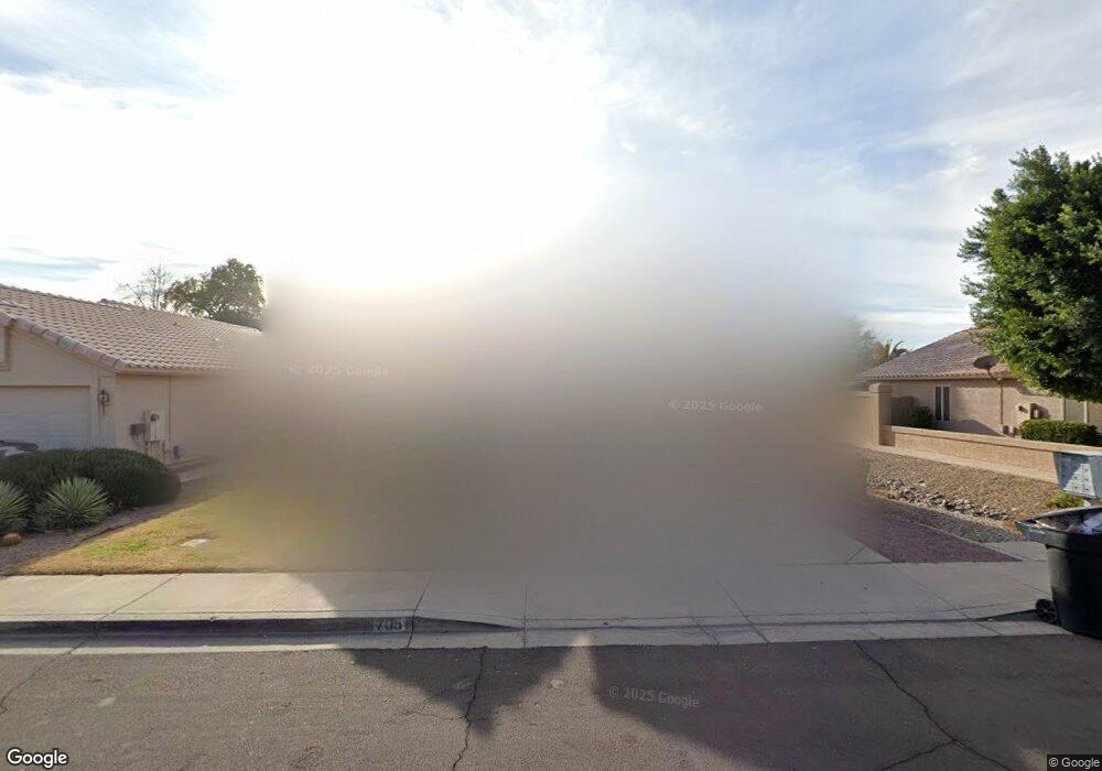
705 E Gail Dr Chandler, AZ 85225
The Islands NeighborhoodEstimated Value: $398,054 - $465,000
Studio
3
Baths
1,528
Sq Ft
$290/Sq Ft
Est. Value
About This Home
This home is located at 705 E Gail Dr, Chandler, AZ 85225 and is currently estimated at $443,264, approximately $290 per square foot. 705 E Gail Dr is a home located in Maricopa County with nearby schools including Rudy G Bologna Elementary School, Chandler High School, and Andersen Junior High School.
Ownership History
Date
Name
Owned For
Owner Type
Purchase Details
Closed on
Apr 9, 2025
Sold by
Quintana Maggie
Bought by
Maggie Quintana Living Trust and Quintana
Current Estimated Value
Purchase Details
Closed on
Mar 21, 2000
Sold by
Loyd James C and Loyd Faye L
Bought by
Quintana Maggie
Home Financials for this Owner
Home Financials are based on the most recent Mortgage that was taken out on this home.
Original Mortgage
$87,500
Interest Rate
8.3%
Mortgage Type
New Conventional
Purchase Details
Closed on
Mar 29, 1995
Sold by
Pulte Home Corp
Bought by
Loyd James C and Loyd Faye L
Home Financials for this Owner
Home Financials are based on the most recent Mortgage that was taken out on this home.
Original Mortgage
$60,000
Interest Rate
8.9%
Mortgage Type
New Conventional
Create a Home Valuation Report for This Property
The Home Valuation Report is an in-depth analysis detailing your home's value as well as a comparison with similar homes in the area
Home Values in the Area
Average Home Value in this Area
Purchase History
| Date | Buyer | Sale Price | Title Company |
|---|---|---|---|
| Maggie Quintana Living Trust | -- | Final Title Support | |
| Quintana Maggie | $127,500 | Security Title Agency | |
| Loyd James C | $103,873 | United Title Agency |
Source: Public Records
Mortgage History
| Date | Status | Borrower | Loan Amount |
|---|---|---|---|
| Previous Owner | Quintana Maggie | $87,500 | |
| Previous Owner | Loyd James C | $60,000 |
Source: Public Records
Tax History
| Year | Tax Paid | Tax Assessment Tax Assessment Total Assessment is a certain percentage of the fair market value that is determined by local assessors to be the total taxable value of land and additions on the property. | Land | Improvement |
|---|---|---|---|---|
| 2025 | $1,507 | $19,341 | -- | -- |
| 2024 | $1,455 | $18,420 | -- | -- |
| 2023 | $1,455 | $34,410 | $6,880 | $27,530 |
| 2022 | $1,404 | $25,720 | $5,140 | $20,580 |
| 2021 | $1,472 | $23,700 | $4,740 | $18,960 |
| 2020 | $1,465 | $22,080 | $4,410 | $17,670 |
| 2019 | $1,409 | $20,220 | $4,040 | $16,180 |
| 2018 | $1,364 | $18,900 | $3,780 | $15,120 |
| 2017 | $1,272 | $17,650 | $3,530 | $14,120 |
| 2016 | $1,225 | $17,310 | $3,460 | $13,850 |
| 2015 | $1,187 | $16,020 | $3,200 | $12,820 |
Source: Public Records
Map
Nearby Homes
- 1121 N Jackson St
- 1151 N Jackson St
- 700 E Gary Dr
- 1211 N Jackson St
- 457 E Sheffield Ave
- 853 E Manor Dr
- 860 N Mcqueen Rd Unit 1145
- 860 N Mcqueen Rd Unit 1060
- 860 N Mcqueen Rd Unit 1007
- 955 E Knox Rd Unit 110
- 955 E Knox Rd Unit 118
- 955 E Knox Rd Unit 213
- 1310 N Concord Ave
- 472 E Harrison St
- 1146 E Dublin St
- 1255 N Arizona Ave Unit 1061
- 1255 N Arizona Ave Unit 1134
- 1255 N Arizona Ave Unit 1193
- 1255 N Arizona Ave Unit 1289
- 1255 N Arizona Ave Unit 1047
Your Personal Tour Guide
Ask me questions while you tour the home.