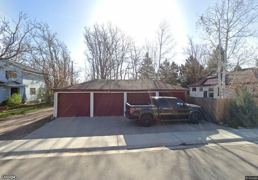
705 E Simpson St Lafayette, CO 80026
Estimated Value: $546,000 - $688,000
3
Beds
2
Baths
1,297
Sq Ft
$473/Sq Ft
Est. Value
About This Home
This home is located at 705 E Simpson St, Lafayette, CO 80026 and is currently estimated at $613,990, approximately $473 per square foot. 705 E Simpson St is a home located in Boulder County with nearby schools including Alicia Sanchez International Elementary School, Angevine Middle School, and Centaurus High School.
Ownership History
Date
Name
Owned For
Owner Type
Purchase Details
Closed on
Apr 9, 1993
Bought by
Taboada Michele L and Taboada John Raymond
Current Estimated Value
Purchase Details
Closed on
May 8, 1992
Bought by
Taboada Michele L and Taboada John Raymond
Purchase Details
Closed on
Aug 31, 1990
Bought by
Taboada Michele L and Taboada John Raymond
Purchase Details
Closed on
Sep 6, 1985
Bought by
Taboada Michele L and Taboada John Raymond
Create a Home Valuation Report for This Property
The Home Valuation Report is an in-depth analysis detailing your home's value as well as a comparison with similar homes in the area
Home Values in the Area
Average Home Value in this Area
Purchase History
| Date | Buyer | Sale Price | Title Company |
|---|---|---|---|
| Taboada Michele L | -- | -- | |
| Taboada Michele L | -- | -- | |
| Taboada Michele L | -- | -- | |
| Taboada Michele L | $70,000 | -- |
Source: Public Records
Tax History
| Year | Tax Paid | Tax Assessment Tax Assessment Total Assessment is a certain percentage of the fair market value that is determined by local assessors to be the total taxable value of land and additions on the property. | Land | Improvement |
|---|---|---|---|---|
| 2025 | $2,847 | $39,069 | $26,063 | $13,006 |
| 2024 | $2,847 | $39,069 | $26,063 | $13,006 |
| 2023 | $2,798 | $38,827 | $28,629 | $13,882 |
| 2022 | $2,405 | $32,552 | $21,754 | $10,798 |
| 2021 | $2,379 | $33,489 | $22,380 | $11,109 |
| 2020 | $2,257 | $31,846 | $20,878 | $10,968 |
| 2019 | $2,870 | $31,846 | $20,878 | $10,968 |
| 2018 | $2,476 | $27,122 | $10,512 | $16,610 |
| 2017 | $2,411 | $29,986 | $11,622 | $18,364 |
| 2016 | $2,062 | $22,463 | $9,074 | $13,389 |
| 2015 | $1,933 | $19,303 | $6,607 | $12,696 |
| 2014 | $1,669 | $19,303 | $6,607 | $12,696 |
Source: Public Records
Map
Nearby Homes
- 735 Cannon Trail
- 351 S Foote Ave
- 409 E Cleveland St
- 706 Meadowlark Dr Unit 706
- 203 E Chester St Unit A
- 709 Cardinal Dr
- 720 Flamingo Dr
- 107 N Public Rd
- 730 Quail Dr
- 704 Meadowlark Dr
- 712 Bunting Dr
- 723 Cardinal Dr
- 209 Skylark Cir Unit 209
- 300 Skylark Cir
- 2880 Taryn St
- 2876 Taryn St
- 921 Latigo Loop
- 917 Latigo Loop
- 1366 Penner Dr
- 277 Skylark Cir
- 0 S Foote Ave
- 0 S Foote Ave Unit 2651604
- 0 S Foote Ave Unit Lot 4 842196
- 0 S Foote Ave Unit Lot 7 842194
- 707 E Simpson St
- 701 E Simpson St
- 106 N Foote Ave
- 104 N Foote Ave
- 709 E Simpson St
- 710 E Geneseo St
- 706 E Simpson St
- 704 E Simpson St
- 700 E Simpson St
- 108 N Foote Ave
- 708 E Simpson St
- 609 E Simpson St
- 711 E Simpson St Unit 717
- 711 E Simpson St
- 800 E Geneseo St
- 712 E Simpson St
Your Personal Tour Guide
Ask me questions while you tour the home.