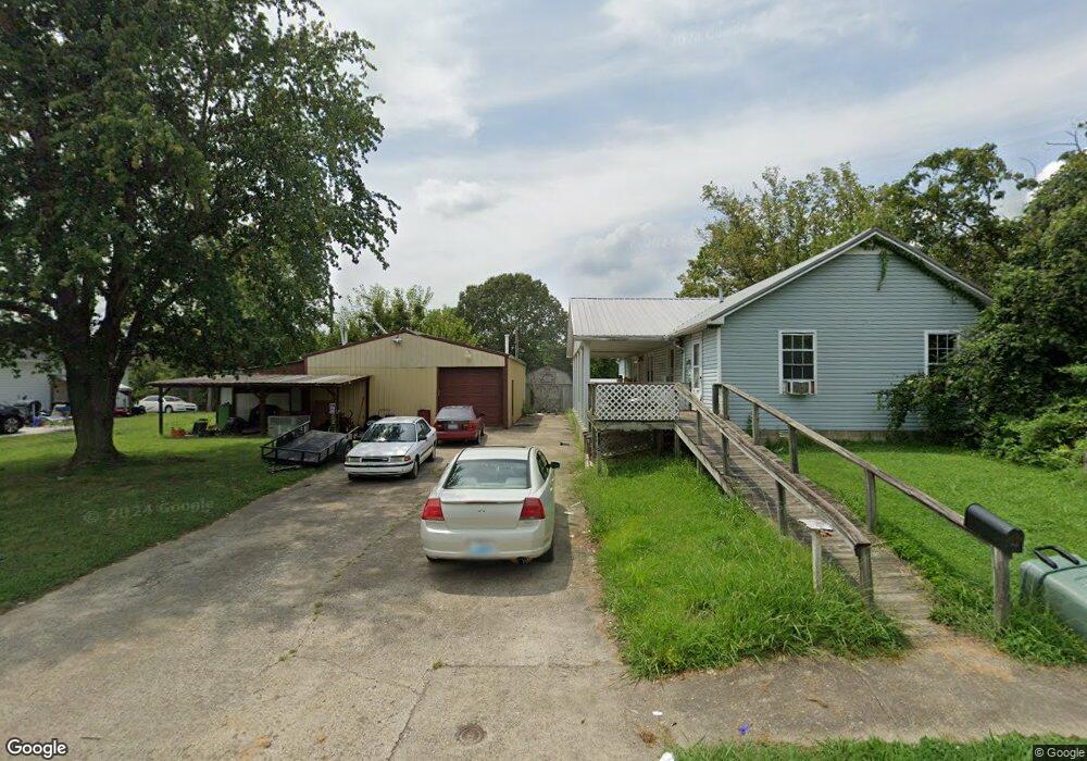
705 E Walnut St Dawson Springs, KY 42408
Estimated Value: $98,000 - $116,819
3
Beds
2
Baths
1,200
Sq Ft
$90/Sq Ft
Est. Value
About This Home
This home is located at 705 E Walnut St, Dawson Springs, KY 42408 and is currently estimated at $107,410, approximately $89 per square foot. 705 E Walnut St is a home located in Hopkins County with nearby schools including Dawson Springs Elementary School and Dawson Springs Junior/Senior High School.
Ownership History
Date
Name
Owned For
Owner Type
Purchase Details
Closed on
Nov 29, 2022
Sold by
Faulk Larry W and Faulk Gloria F
Bought by
Morgan John W and Morgan Leslie F
Current Estimated Value
Purchase Details
Closed on
Oct 15, 2021
Sold by
Hopkins Circuit Court
Bought by
Tax Brake Ky Llc
Purchase Details
Closed on
Mar 26, 2017
Sold by
Tossi Dale P and Tossi Leah Kay
Bought by
Rohrer Mary E and Tossi Dale P
Purchase Details
Closed on
Nov 29, 2005
Sold by
Allen William E and Allen Myrtie V
Bought by
Tossi Dale P
Home Financials for this Owner
Home Financials are based on the most recent Mortgage that was taken out on this home.
Original Mortgage
$54,150
Interest Rate
6.23%
Mortgage Type
FHA
Create a Home Valuation Report for This Property
The Home Valuation Report is an in-depth analysis detailing your home's value as well as a comparison with similar homes in the area
Home Values in the Area
Average Home Value in this Area
Purchase History
| Date | Buyer | Sale Price | Title Company |
|---|---|---|---|
| Morgan John W | $10,000 | -- | |
| Morgan John W | $10,000 | None Listed On Document | |
| Tax Brake Ky Llc | -- | None Listed On Document | |
| Rohrer Mary E | -- | None Available | |
| Tossi Dale P | $55,000 | None Available |
Source: Public Records
Mortgage History
| Date | Status | Borrower | Loan Amount |
|---|---|---|---|
| Previous Owner | Tossi Dale P | $54,150 |
Source: Public Records
Tax History Compared to Growth
Tax History
| Year | Tax Paid | Tax Assessment Tax Assessment Total Assessment is a certain percentage of the fair market value that is determined by local assessors to be the total taxable value of land and additions on the property. | Land | Improvement |
|---|---|---|---|---|
| 2024 | $545 | $51,500 | $0 | $0 |
| 2023 | $552 | $51,500 | $0 | $0 |
| 2022 | $552 | $51,500 | $0 | $0 |
| 2021 | $176 | $51,500 | $0 | $0 |
| 2020 | $537 | $49,800 | $0 | $0 |
| 2019 | $535 | $49,800 | $0 | $0 |
| 2018 | $514 | $49,800 | $0 | $0 |
| 2017 | $496 | $49,800 | $0 | $0 |
| 2016 | $528 | $50,900 | $0 | $0 |
| 2015 | $511 | $50,900 | $7,300 | $43,600 |
| 2014 | $511 | $50,900 | $0 | $0 |
Source: Public Records
Map
Nearby Homes
- 508 E Walnut St
- 100 Lumber St
- 316 E Keigan St
- 0 E Arcadia Ave
- 0 U S Highway 62 Unit 17085214
- 403 W Arcadia Ave
- 504 W Keigan St
- 403 S Main St
- 503 W Arcadia Ave
- 406 S Main St
- 117 Lee Wilson Dr
- 0 Mount Hebron Church Rd
- 16475 Dawson Rd
- 2500 Daylight Rd
- 333 Island Cove Ln
- 330 Alexander Rd
- 0 Niles Rd Unit LotWP001 24487846
- 315 Amon Lisanby Spur Rd
- 251 Amon Lisanby Spur Rd
- 0 Donahue Rd
- 611 E Walnut St
- 711 E Walnut St
- 609 E Walnut St
- 704 E Walnut St
- 700 E Walnut St
- 702 E Walnut St
- 713 E Walnut St
- 706 E Walnut St
- 612 E Walnut St
- 607 E Walnut St
- 708 E Walnut St
- 603 E Walnut St
- 712 E Walnut St
- 610 E Walnut St
- 715 E Walnut St
- 606 E Walnut St
- 608 E Walnut St
- 716 E Walnut St
- 703 E Hall St
- 717 E Walnut St