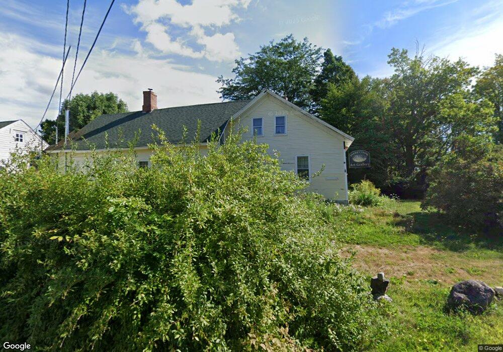
705 Foss Rd Limerick, ME 04048
Estimated Value: $388,000 - $507,000
--
Bed
--
Bath
1,578
Sq Ft
$278/Sq Ft
Est. Value
About This Home
This home is located at 705 Foss Rd, Limerick, ME 04048 and is currently estimated at $438,395, approximately $277 per square foot. 705 Foss Rd is a home located in York County with nearby schools including Massabesic High School.
Ownership History
Date
Name
Owned For
Owner Type
Purchase Details
Closed on
Feb 4, 2009
Sold by
Merchant Donald E
Bought by
Snow Diane J
Current Estimated Value
Home Financials for this Owner
Home Financials are based on the most recent Mortgage that was taken out on this home.
Original Mortgage
$116,000
Outstanding Balance
$74,914
Interest Rate
5.2%
Mortgage Type
Unknown
Estimated Equity
$363,482
Create a Home Valuation Report for This Property
The Home Valuation Report is an in-depth analysis detailing your home's value as well as a comparison with similar homes in the area
Home Values in the Area
Average Home Value in this Area
Purchase History
| Date | Buyer | Sale Price | Title Company |
|---|---|---|---|
| Snow Diane J | -- | -- |
Source: Public Records
Mortgage History
| Date | Status | Borrower | Loan Amount |
|---|---|---|---|
| Open | Snow Diane J | $116,000 |
Source: Public Records
Tax History Compared to Growth
Tax History
| Year | Tax Paid | Tax Assessment Tax Assessment Total Assessment is a certain percentage of the fair market value that is determined by local assessors to be the total taxable value of land and additions on the property. | Land | Improvement |
|---|---|---|---|---|
| 2025 | $3,296 | $346,914 | $105,660 | $241,254 |
| 2024 | $3,296 | $346,914 | $105,660 | $241,254 |
| 2023 | $2,491 | $163,880 | $55,050 | $108,830 |
| 2022 | $2,327 | $163,880 | $55,050 | $108,830 |
| 2021 | $2,176 | $131,104 | $44,040 | $87,064 |
| 2020 | $2,150 | $131,104 | $44,040 | $87,064 |
| 2019 | $2,065 | $131,104 | $44,040 | $87,064 |
| 2018 | $2,117 | $131,104 | $44,040 | $87,064 |
| 2017 | $2,065 | $131,104 | $44,040 | $87,064 |
| 2016 | $1,973 | $131,104 | $44,040 | $87,064 |
| 2015 | $1,914 | $131,104 | $44,040 | $87,064 |
| 2014 | $1,855 | $131,104 | $44,040 | $87,064 |
Source: Public Records
Map
Nearby Homes
- 515 Range East Rd
- 0 Stone Hill Rd
- 545 Foss Rd
- 91 Patterson Rd
- 44 Carroll Pit Rd
- 360 Bridge St
- 48 Elm St
- 154 Staples Rd
- 36 Elm St
- 223 Bridge St
- Lot 3C Bridge St
- 00 Bridge St
- 7 Echo Ln
- 38-25.2 0 Row Mowry Ln
- 243 Sokokis Trail N
- 148 Washington St Unit A
- 33 Maple St
- 11 Symmes Dr
- 24 Emery Corner Rd
- 80 Kelley Ln
- 999 Johnson Rd
- 0 Foss Rd Unit 423915
- 0 Foss Rd Unit 371439
- 0 Foss Rd Unit 366117
- 0 Foss Rd Unit 614111
- 0 Foss Rd Unit 637983
- 0 Foss Rd Unit 309009
- 0 Foss Rd Unit 308948
- 0 Foss Rd Unit 631451
- 0 Foss Rd Unit 897391
- 0 Foss Rd Unit 911036
- 0 Foss Rd Unit 1094576
- 0 Foss Rd Unit 1102636
- 0 Foss Rd Unit 1214769
- 0 Foss Rd Unit 1217581
- 0 Foss Rd Unit 1243786
- 0 Foss Rd Unit 1304209
- 0 Foss Rd Unit 1372940
- 0 Foss Rd Unit 1449643
- 0 Foss Rd Unit 1461880