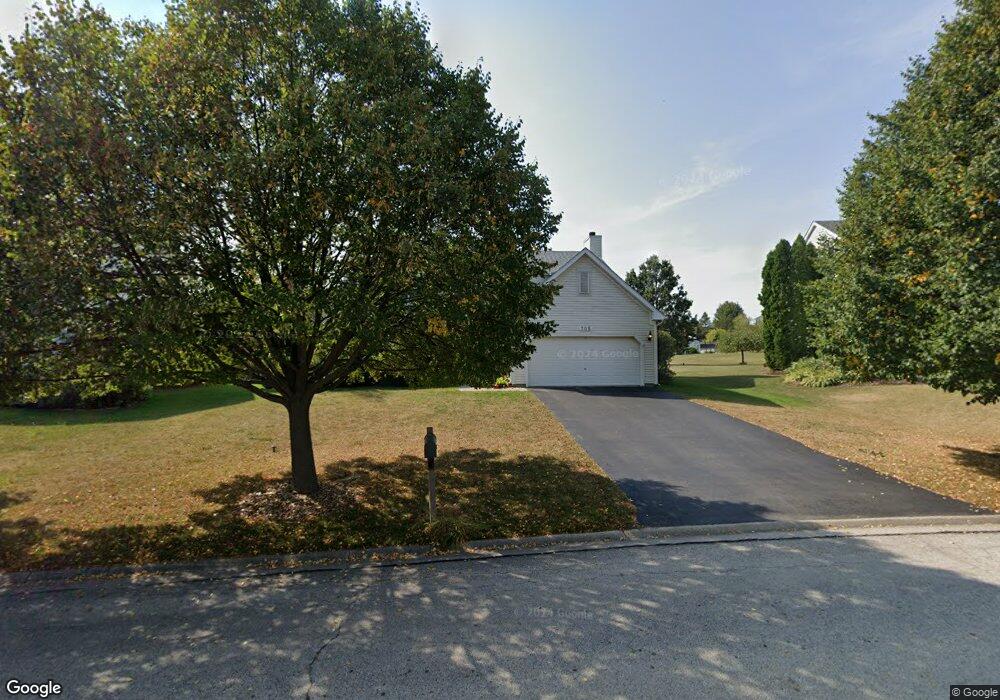
705 Franklin Ln Lindenhurst, IL 60046
Estimated Value: $423,000 - $456,000
3
Beds
3
Baths
2,376
Sq Ft
$183/Sq Ft
Est. Value
About This Home
This home is located at 705 Franklin Ln, Lindenhurst, IL 60046 and is currently estimated at $435,551, approximately $183 per square foot. 705 Franklin Ln is a home located in Lake County with nearby schools including Millburn Elementary School, Millburn Middle School, and Lakes Community High School.
Ownership History
Date
Name
Owned For
Owner Type
Purchase Details
Closed on
Jun 8, 1998
Sold by
The Ryland Group Inc
Bought by
Macneish Scott and Macneish Mary E
Current Estimated Value
Home Financials for this Owner
Home Financials are based on the most recent Mortgage that was taken out on this home.
Original Mortgage
$180,000
Outstanding Balance
$36,543
Interest Rate
7.22%
Estimated Equity
$399,008
Create a Home Valuation Report for This Property
The Home Valuation Report is an in-depth analysis detailing your home's value as well as a comparison with similar homes in the area
Home Values in the Area
Average Home Value in this Area
Purchase History
| Date | Buyer | Sale Price | Title Company |
|---|---|---|---|
| Macneish Scott | $226,500 | Ticor Title |
Source: Public Records
Mortgage History
| Date | Status | Borrower | Loan Amount |
|---|---|---|---|
| Open | Macneish Scott | $180,000 |
Source: Public Records
Tax History
| Year | Tax Paid | Tax Assessment Tax Assessment Total Assessment is a certain percentage of the fair market value that is determined by local assessors to be the total taxable value of land and additions on the property. | Land | Improvement |
|---|---|---|---|---|
| 2024 | $11,033 | $120,081 | $19,272 | $100,809 |
| 2023 | $12,194 | $106,098 | $17,028 | $89,070 |
| 2022 | $12,194 | $96,308 | $12,874 | $83,434 |
| 2021 | $11,749 | $89,464 | $11,959 | $77,505 |
| 2020 | $11,331 | $86,598 | $11,576 | $75,022 |
| 2019 | $12,138 | $88,509 | $11,832 | $76,677 |
| 2018 | $10,854 | $84,921 | $15,491 | $69,430 |
| 2017 | $10,532 | $82,656 | $15,078 | $67,578 |
| 2016 | $11,733 | $88,120 | $16,074 | $72,046 |
| 2015 | $11,196 | $82,302 | $15,013 | $67,289 |
| 2014 | $11,084 | $74,823 | $15,082 | $59,741 |
| 2012 | $9,924 | $88,104 | $17,471 | $70,633 |
Source: Public Records
Map
Nearby Homes
- 697 Providence Ln
- 622 Oxford Ct
- 19135 W Millburn Rd
- 533 N Beck Rd Unit 28
- 2375 Kelsey Ct
- 412 Northgate Rd Unit 27
- 1896 E Vista Terrace
- 394 Northgate Rd
- 1903 Hazelwood Dr
- 3210 Neubauer Cir
- 20215 W Miller Rd
- 1406 Neubauer Cir Unit 1904
- 2804 Neubauer Cir Unit 154
- 2407 Valley Dr
- 1809 Maplewood Ct
- 2303 Neubauer Cir Unit 312
- 1288 Prairie Ridge Trail
- 1924 S Shore Cove
- 210 Hazelwood Dr
- 1245 Prairie Ridge Trail
- 703 Franklin Ln
- 707 Franklin Ln
- 2754 Providence Ln
- 2744 Providence Ln
- 709 Franklin Ln
- 701 Franklin Ln
- 704 Franklin Ln
- 2762 Providence Ln
- 675 Windsor Ct
- 683 Windsor Ct
- 2736 Providence Ln
- 708 Franklin Ln
- 705 Independence Blvd
- 712 Franklin Ln
- 2790 Delaware Ln
- 667 Windsor Ct
- 2749 Providence Ln
- 2718 Providence Ln
- 716 Franklin Ln
- 2701 Franklin Ct
Your Personal Tour Guide
Ask me questions while you tour the home.