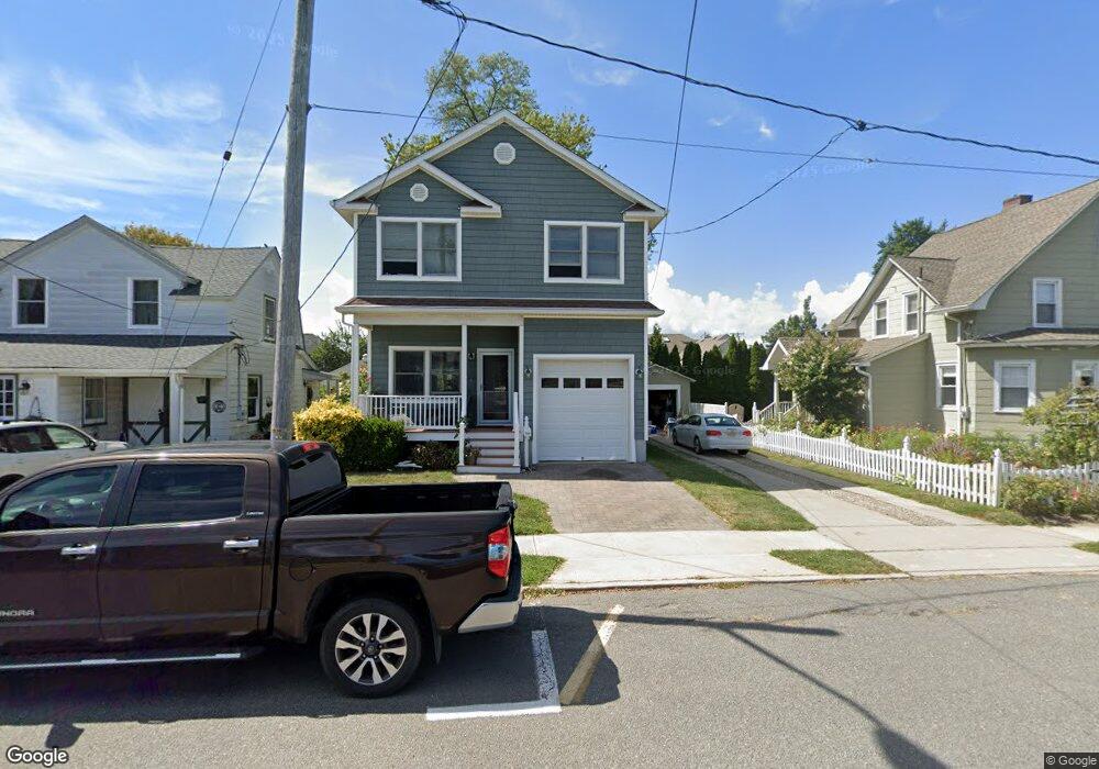
705 Gowdy Ave Point Pleasant Beach, NJ 08742
Point Pleasant Beach NeighborhoodEstimated Value: $731,598 - $862,000
3
Beds
3
Baths
2,393
Sq Ft
$340/Sq Ft
Est. Value
About This Home
This home is located at 705 Gowdy Ave, Point Pleasant Beach, NJ 08742 and is currently estimated at $814,400, approximately $340 per square foot. 705 Gowdy Ave is a home located in Ocean County with nearby schools including G Harold Antrim Elementary School, Point Pleasant Beach High School, and St. Peter School.
Ownership History
Date
Name
Owned For
Owner Type
Purchase Details
Closed on
Dec 13, 2008
Sold by
Percelay Michael P
Bought by
Percelay Michael P and Abrenica Florence
Current Estimated Value
Home Financials for this Owner
Home Financials are based on the most recent Mortgage that was taken out on this home.
Original Mortgage
$417,000
Outstanding Balance
$276,067
Interest Rate
5.51%
Mortgage Type
Construction
Estimated Equity
$538,333
Purchase Details
Closed on
May 23, 2003
Sold by
Chiarella John
Bought by
Percelay Michael
Home Financials for this Owner
Home Financials are based on the most recent Mortgage that was taken out on this home.
Original Mortgage
$157,500
Interest Rate
5.46%
Create a Home Valuation Report for This Property
The Home Valuation Report is an in-depth analysis detailing your home's value as well as a comparison with similar homes in the area
Home Values in the Area
Average Home Value in this Area
Purchase History
| Date | Buyer | Sale Price | Title Company |
|---|---|---|---|
| Percelay Michael P | -- | None Available | |
| Percelay Michael | $175,000 | -- |
Source: Public Records
Mortgage History
| Date | Status | Borrower | Loan Amount |
|---|---|---|---|
| Open | Percelay Michael P | $417,000 | |
| Previous Owner | Percelay Michael | $157,500 |
Source: Public Records
Tax History Compared to Growth
Tax History
| Year | Tax Paid | Tax Assessment Tax Assessment Total Assessment is a certain percentage of the fair market value that is determined by local assessors to be the total taxable value of land and additions on the property. | Land | Improvement |
|---|---|---|---|---|
| 2025 | $6,187 | $360,100 | $201,000 | $159,100 |
| 2024 | $5,999 | $360,100 | $201,000 | $159,100 |
| 2023 | $5,830 | $360,100 | $201,000 | $159,100 |
| 2022 | $5,830 | $360,100 | $201,000 | $159,100 |
| 2021 | $5,700 | $360,100 | $201,000 | $159,100 |
| 2020 | $5,693 | $360,100 | $201,000 | $159,100 |
| 2019 | $5,614 | $360,100 | $201,000 | $159,100 |
| 2018 | $5,528 | $360,100 | $201,000 | $159,100 |
| 2017 | $5,441 | $360,100 | $201,000 | $159,100 |
| 2016 | $5,466 | $360,100 | $201,000 | $159,100 |
| 2015 | $5,423 | $360,100 | $201,000 | $159,100 |
| 2014 | $5,398 | $360,100 | $201,000 | $159,100 |
Source: Public Records
Map
Nearby Homes
- 807 Trenton Ave
- 704 Forman Ave
- 728 Arnold Ave
- 615 Atlantic Ave
- 607 Richmond Ave Unit 4
- 842 Arnold Ave Unit 2
- 842 Arnold Ave Unit 3
- 921 Arnold Ave
- 845 Arnold Ave Unit 3
- 503 Atlantic Ave
- 37 Arnold Ave
- 818 Sinclair Rd
- 331 Hawthorne Ave
- 917 Route 88 Unit 5
- 325 Hawthorne Ave Unit 327
- 326 Curtis Ave Unit Lot 27
- 303 Cooks Ln
- 328 Curtis Ave Unit Lot 28
- 1214 Fleming Ave
- 313 Washington Ave
- 802 Trenton Ave
- 707 Gowdy Ave
- 804 Trenton Ave
- 803 Forman Ave
- 805 Forman Ave
- 806 Trenton Ave
- 807 Forman Ave
- 809 Forman Ave
- 808 Trenton Ave
- 609 Cramer Ave
- 803 Trenton Ave
- 719 Trenton Ave
- 811 Forman Ave
- 805 Trenton Ave
- 800 Forman Ave
- 802 Forman Ave
- 715 Trenton Ave
- 714 Forman Ave
- 804 Forman Ave
- 806 Forman Ave