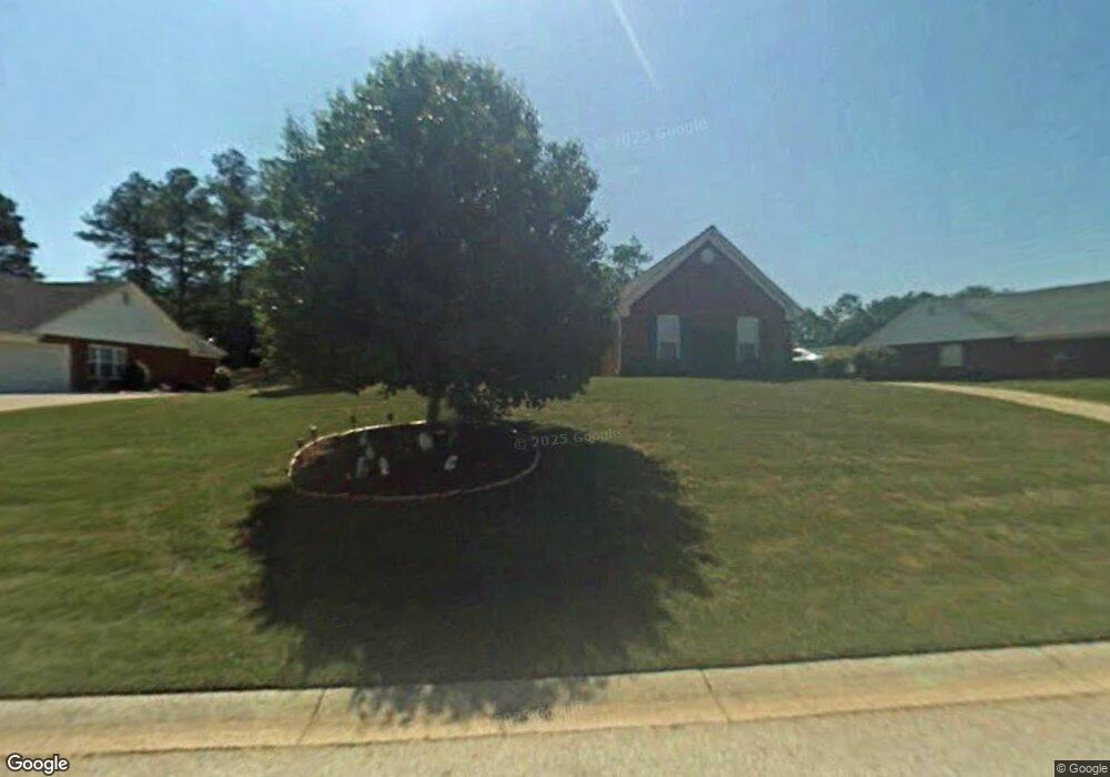
705 High Point Dr Winder, GA 30680
Estimated Value: $351,000 - $389,000
Studio
2
Baths
1,866
Sq Ft
$195/Sq Ft
Est. Value
About This Home
This home is located at 705 High Point Dr, Winder, GA 30680 and is currently estimated at $363,674, approximately $194 per square foot. 705 High Point Dr is a home located in Barrow County with nearby schools including County Line Elementary School, Russell Middle School, and Winder-Barrow High School.
Ownership History
Date
Name
Owned For
Owner Type
Purchase Details
Closed on
Oct 14, 2009
Sold by
Louviere Charles J
Bought by
Louviere Charles J and Louviere Darlene J
Current Estimated Value
Purchase Details
Closed on
Jan 31, 2003
Sold by
Grace Linda S
Bought by
Louviere Charles J and Louviere Darlene J
Home Financials for this Owner
Home Financials are based on the most recent Mortgage that was taken out on this home.
Original Mortgage
$80,000
Interest Rate
5.95%
Mortgage Type
New Conventional
Purchase Details
Closed on
Jun 30, 2000
Sold by
Star Home Builders
Bought by
Grace Linda S
Home Financials for this Owner
Home Financials are based on the most recent Mortgage that was taken out on this home.
Original Mortgage
$130,055
Interest Rate
8.63%
Mortgage Type
New Conventional
Create a Home Valuation Report for This Property
The Home Valuation Report is an in-depth analysis detailing your home's value as well as a comparison with similar homes in the area
Home Values in the Area
Average Home Value in this Area
Purchase History
| Date | Buyer | Sale Price | Title Company |
|---|---|---|---|
| Louviere Charles J | -- | -- | |
| Louviere Charles J | -- | -- | |
| Louviere Charles J | $140,000 | -- | |
| Grace Linda S | $136,900 | -- |
Source: Public Records
Mortgage History
| Date | Status | Borrower | Loan Amount |
|---|---|---|---|
| Previous Owner | Louviere Charles J | $80,000 | |
| Previous Owner | Grace Linda S | $130,055 |
Source: Public Records
Tax History
| Year | Tax Paid | Tax Assessment Tax Assessment Total Assessment is a certain percentage of the fair market value that is determined by local assessors to be the total taxable value of land and additions on the property. | Land | Improvement |
|---|---|---|---|---|
| 2025 | $53 | $123,611 | $28,000 | $95,611 |
| 2024 | $53 | $120,813 | $28,000 | $92,813 |
| 2023 | $53 | $120,813 | $28,000 | $92,813 |
| 2022 | $2,257 | $72,941 | $16,400 | $56,541 |
| 2021 | $119 | $72,941 | $16,400 | $56,541 |
| 2020 | $143 | $68,262 | $16,400 | $51,862 |
| 2019 | $143 | $68,262 | $16,400 | $51,862 |
| 2018 | $732 | $62,384 | $15,200 | $47,184 |
| 2017 | $1,584 | $53,096 | $15,200 | $37,896 |
| 2016 | $570 | $51,636 | $15,200 | $36,436 |
| 2015 | $576 | $52,050 | $15,200 | $36,850 |
| 2014 | $398 | $43,710 | $6,860 | $36,850 |
| 2013 | -- | $41,398 | $6,860 | $34,538 |
Source: Public Records
Map
Nearby Homes
- 719 Mallard Dr
- 436 Northcrest Dr
- 617 Teal Dr
- 469 Plantation Dr
- 0 E Northcrest Dr Unit 10648147
- 460 Flyway Ln
- 845 Idlewood Rd
- 171 Bellingrath Dr
- 367 Cedar Wood Trace
- 355 Cedar Wood Trace
- 374 Cedar Wood Trace
- 362 Cedar Wood Trace
- 341 Cedar Wood Trace
- 326 Cedar Wood Trace
- 338 Cedar Wood Trace
- 2050 Whispering Way
- 314 Cedar Wood Trace
- 273 Partridge Trail
- 276 Cedar Wood Trace
- 703 High Point Dr
- 707 Highpoint Dr
- 707 High Point Dr
- 701 High Point Dr
- 704 High Point Dr
- 706 High Point Dr
- 702 High Point Dr Unit 1
- 700 High Point Dr
- 700 Highpoint Dr Unit 9
- 708 High Point Dr
- 721 Mallard Dr
- 721 Mallard Dr Unit 1
- 719 Mallard Dr Unit 15
- 723 Mallard Dr Unit 24
- 723 Mallard Dr
- 717 Mallard Dr Unit 1
- 717 Mallard Dr
- 700 Overlook Dr
- 702 Overlook Dr
- 715 Mallard Dr Unit 13B
Your Personal Tour Guide
Ask me questions while you tour the home.