Estimated Value: $87,000 - $217,259
4
Beds
2
Baths
1,956
Sq Ft
$85/Sq Ft
Est. Value
About This Home
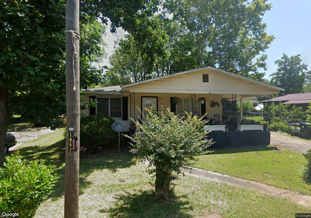
This home is located at 705 Joe Louis Dr, Perry, GA 31069 and is currently estimated at $165,315, approximately $84 per square foot. 705 Joe Louis Dr is a home located in Houston County with nearby schools including Morningside Elementary School, Perry Middle School, and Perry High School.
Ownership History
Date
Name
Owned For
Owner Type
Purchase Details
Closed on
Oct 4, 2021
Sold by
Golden Jimmy Lee
Bought by
Golden Jimmy Lee and Golden Irene Radford
Current Estimated Value
Purchase Details
Closed on
Mar 26, 1996
Sold by
Golden Henry Phillip
Bought by
Golden Henry Phillip Jr Etal
Purchase Details
Closed on
Dec 27, 1991
Sold by
Golden H P
Bought by
Golden Henry Phillip
Purchase Details
Closed on
Aug 16, 1965
Sold by
Roughton D K
Bought by
Golden H P
Purchase Details
Closed on
Sep 11, 1962
Bought by
Golden H P
Create a Home Valuation Report for This Property
The Home Valuation Report is an in-depth analysis detailing your home's value as well as a comparison with similar homes in the area
Home Values in the Area
Average Home Value in this Area
Purchase History
| Date | Buyer | Sale Price | Title Company |
|---|---|---|---|
| Golden Jimmy Lee | -- | None Available | |
| Golden Henry Phillip Jr Etal | -- | -- | |
| Golden Henry Phillip | -- | -- | |
| Golden H P | -- | -- | |
| Roughton D K | -- | -- | |
| Golden H P | $500 | -- |
Source: Public Records
Tax History Compared to Growth
Tax History
| Year | Tax Paid | Tax Assessment Tax Assessment Total Assessment is a certain percentage of the fair market value that is determined by local assessors to be the total taxable value of land and additions on the property. | Land | Improvement |
|---|---|---|---|---|
| 2024 | $732 | $19,920 | $2,640 | $17,280 |
| 2023 | $620 | $16,760 | $2,640 | $14,120 |
| 2022 | $347 | $15,080 | $2,640 | $12,440 |
| 2021 | $332 | $14,360 | $2,640 | $11,720 |
| 2020 | $333 | $14,320 | $2,640 | $11,680 |
| 2019 | $333 | $14,320 | $2,640 | $11,680 |
| 2018 | $333 | $14,320 | $2,640 | $11,680 |
| 2017 | $333 | $14,320 | $2,640 | $11,680 |
| 2016 | $334 | $14,320 | $2,640 | $11,680 |
| 2015 | $334 | $14,320 | $2,640 | $11,680 |
| 2014 | -- | $14,320 | $2,640 | $11,680 |
| 2013 | -- | $14,320 | $2,640 | $11,680 |
Source: Public Records
Map
Nearby Homes
- 713 Walcott St
- 1312 Sam Nunn Blvd
- 0 Perimeter Rd Unit 236479
- 0 Perimeter Rd Unit 236478
- 0 Perimeter Rd Unit 20145467
- The Pearson Plan at Avalon
- The Crawford Plan at Avalon
- The Piedmont Plan at Avalon
- The Lawson Plan at Avalon
- The Coleman Plan at Avalon
- The McGinnis Plan at Avalon
- The Harrington Plan at Avalon
- The Bradley Plan at Avalon
- 1335 Ball St
- 0 Perimeter Roads Unit 20145464
- 1343 Wf Ragin Dr
- 126 Bramblewood Ln
- 104 Pridgen Pass
- 128 Kenmore Cir Unit 15
- 126 Kenmore Cir Unit 14
- 705 Walcott St
- 702 Patterson Dr
- 700 Patterson Dr
- 707 Walcott St
- 706 Joe Louis Dr
- 706 Patterson Dr
- 709 Walcott St
- 0 Walcott St
- 708 Patterson Dr
- 701 Patterson Dr
- 701 Walcott St
- 706 Walcott St
- 711 Walcott St
- 708 Walcott St
- 710 Patterson Dr
- 711 Joe Louis Dr
- 714 Patterson Dr
- 715 Walcott St
- 1324 Sam Nunn Blvd
- 1322 Sam Nunn Blvd