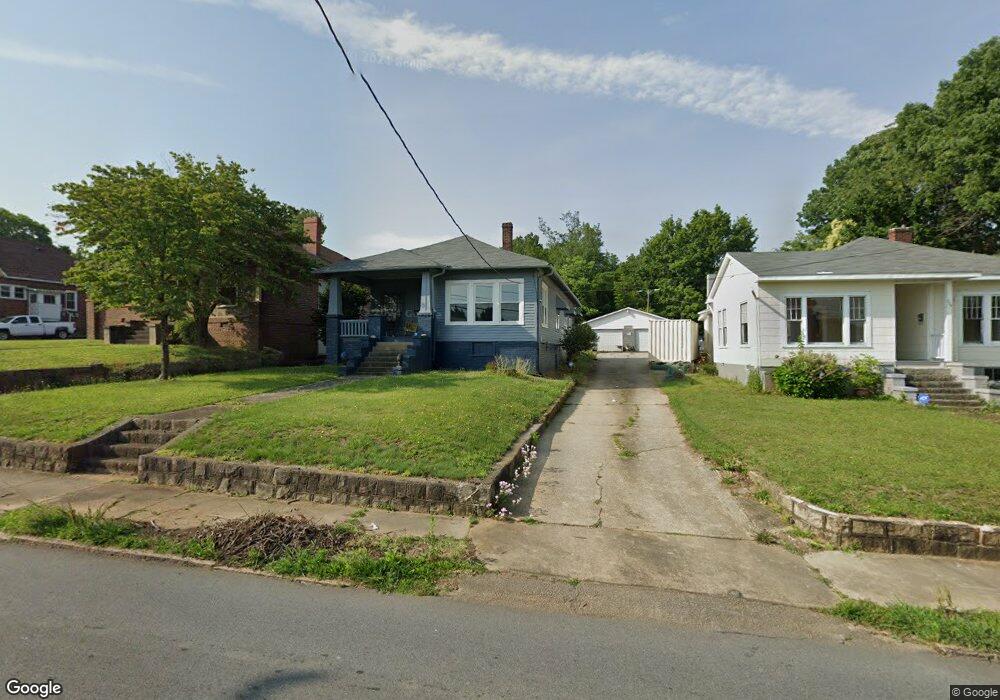
705 Lincolnton Rd Salisbury, NC 28144
Estimated Value: $166,000 - $242,000
3
Beds
1
Bath
1,570
Sq Ft
$131/Sq Ft
Est. Value
About This Home
This home is located at 705 Lincolnton Rd, Salisbury, NC 28144 and is currently estimated at $206,072, approximately $131 per square foot. 705 Lincolnton Rd is a home located in Rowan County with nearby schools including Elizabeth Duncan Koontz Elementary School, Knox Middle School, and North Rowan Middle School.
Ownership History
Date
Name
Owned For
Owner Type
Purchase Details
Closed on
May 8, 2020
Sold by
Burleson Clay O and Estate Of Virginia C Burleson
Bought by
Hyman Darrell
Current Estimated Value
Home Financials for this Owner
Home Financials are based on the most recent Mortgage that was taken out on this home.
Original Mortgage
$66,567
Outstanding Balance
$58,988
Interest Rate
3.3%
Mortgage Type
FHA
Estimated Equity
$147,084
Purchase Details
Closed on
Jul 7, 2003
Bought by
Burleson Virginia Cox
Create a Home Valuation Report for This Property
The Home Valuation Report is an in-depth analysis detailing your home's value as well as a comparison with similar homes in the area
Home Values in the Area
Average Home Value in this Area
Purchase History
| Date | Buyer | Sale Price | Title Company |
|---|---|---|---|
| Hyman Darrell | $68,000 | None Available | |
| Burleson Virginia Cox | -- | -- |
Source: Public Records
Mortgage History
| Date | Status | Borrower | Loan Amount |
|---|---|---|---|
| Open | Hyman Darrell | $66,567 |
Source: Public Records
Tax History Compared to Growth
Tax History
| Year | Tax Paid | Tax Assessment Tax Assessment Total Assessment is a certain percentage of the fair market value that is determined by local assessors to be the total taxable value of land and additions on the property. | Land | Improvement |
|---|---|---|---|---|
| 2025 | $1,689 | $141,244 | $15,936 | $125,308 |
| 2024 | $1,689 | $141,244 | $15,936 | $125,308 |
| 2023 | $1,689 | $141,244 | $15,936 | $125,308 |
| 2022 | $1,169 | $84,859 | $13,124 | $71,735 |
| 2021 | $1,169 | $84,859 | $13,124 | $71,735 |
| 2020 | $1,151 | $83,549 | $13,124 | $70,425 |
| 2019 | $1,151 | $83,549 | $13,124 | $70,425 |
| 2018 | $969 | $71,299 | $13,123 | $58,176 |
| 2017 | $964 | $71,299 | $13,123 | $58,176 |
| 2016 | $937 | $71,299 | $13,123 | $58,176 |
| 2015 | $943 | $71,299 | $13,123 | $58,176 |
| 2014 | $972 | $74,346 | $13,123 | $61,223 |
Source: Public Records
Map
Nearby Homes
- 421 Elm St
- 1125 Fries St
- 823 Lincolnton Rd
- 522 Elm St
- 406 Grace St
- 119 Wiley Ave
- 227 Mitchell Ave
- 119 Mitchell Ave
- 204 Maupin Ave
- 1027 Old Plank Rd
- 425 Maupin Ave
- 207 Maupin Ave
- 817 S Jackson St
- 629 S Caldwell St
- 701 S Fulton St
- 515 Heilig Ave
- 222 W McCubbins St
- 719 S Jackson St
- 1618 4th St
- 710 Maupin Ave
- 701 Lincolnton Rd
- 709 Lincolnton Rd
- 1016 New St
- 717 Lincolnton Rd
- 719 Lincolnton Rd
- 1015 New St
- 617 Lincolnton Rd
- 723 Lincolnton Rd
- 611 Lincolnton Rd
- 725 Lincolnton Rd
- 218 Ridge Ave
- 603 Lincolnton Rd
- 731 Lincolnton Rd
- 210 Ridge Ave
- 211 Ridge Ave
- 601 Lincolnton Rd
- 206 Ridge Ave
- 531 Lincolnton Rd
- 142 Ridge Ave
- 320 Elm St