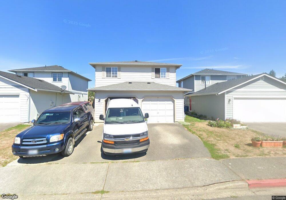
705 Lois Ln Unit 14 Sultan, WA 98294
Estimated Value: $443,000 - $498,000
4
Beds
2
Baths
1,350
Sq Ft
$343/Sq Ft
Est. Value
About This Home
This home is located at 705 Lois Ln Unit 14, Sultan, WA 98294 and is currently estimated at $463,714, approximately $343 per square foot. 705 Lois Ln Unit 14 is a home located in Snohomish County with nearby schools including Sultan Senior High School.
Ownership History
Date
Name
Owned For
Owner Type
Purchase Details
Closed on
Jul 29, 2010
Sold by
Mason David C and Davis Zillah L
Bought by
Yang Cha L and Vang Teng
Current Estimated Value
Home Financials for this Owner
Home Financials are based on the most recent Mortgage that was taken out on this home.
Original Mortgage
$175,634
Outstanding Balance
$116,580
Interest Rate
4.62%
Mortgage Type
FHA
Estimated Equity
$347,134
Purchase Details
Closed on
Oct 19, 1999
Sold by
D B Johnson Construction Inc
Bought by
Mason David C and Davis Zillah L
Home Financials for this Owner
Home Financials are based on the most recent Mortgage that was taken out on this home.
Original Mortgage
$144,650
Interest Rate
7.86%
Mortgage Type
FHA
Create a Home Valuation Report for This Property
The Home Valuation Report is an in-depth analysis detailing your home's value as well as a comparison with similar homes in the area
Home Values in the Area
Average Home Value in this Area
Purchase History
| Date | Buyer | Sale Price | Title Company |
|---|---|---|---|
| Yang Cha L | $178,000 | Chicago Title | |
| Mason David C | $148,907 | -- |
Source: Public Records
Mortgage History
| Date | Status | Borrower | Loan Amount |
|---|---|---|---|
| Open | Yang Cha L | $175,634 | |
| Previous Owner | Mason David C | $144,650 |
Source: Public Records
Tax History Compared to Growth
Tax History
| Year | Tax Paid | Tax Assessment Tax Assessment Total Assessment is a certain percentage of the fair market value that is determined by local assessors to be the total taxable value of land and additions on the property. | Land | Improvement |
|---|---|---|---|---|
| 2025 | $3,449 | $421,800 | $200,000 | $221,800 |
| 2024 | $3,449 | $389,300 | $175,000 | $214,300 |
| 2023 | $3,195 | $408,200 | $189,000 | $219,200 |
| 2022 | $2,877 | $315,600 | $140,000 | $175,600 |
| 2020 | $2,618 | $261,200 | $107,000 | $154,200 |
| 2019 | $2,239 | $232,200 | $90,000 | $142,200 |
| 2018 | $2,325 | $195,200 | $62,000 | $133,200 |
| 2017 | $2,035 | $169,200 | $45,000 | $124,200 |
| 2016 | $2,183 | $177,600 | $57,000 | $120,600 |
| 2015 | $2,015 | $153,500 | $44,000 | $109,500 |
| 2013 | $1,673 | $124,000 | $37,000 | $87,000 |
Source: Public Records
Map
Nearby Homes
- 712 Alder St
- 306 3rd St
- 507 3rd St
- 204 Date Ave
- 870 4th St
- 604 Stevens Ave
- 512 1st St
- 415 1st St
- 404 11th St
- 405 Amberwood Cir
- 907 Bryant Rd
- 14055 Sultan Basin Rd
- 1338 Cascade St
- 1326 11th St
- 32302 135th Place SE
- 1528 Gohr Rd
- 32306 135th Place SE
- 13432 323rd Dr SE
- 32310 135th Place SE
- 13422 323rd Ave SE
- 707 Lois Ln Unit 13
- 703 Lois Ln Unit 15
- 709 Lois Ln Unit 12
- 701 Lois Ln Unit 16
- 711 Lois Ln Unit 11
- 704 Lois Ln Unit 36
- 706 Lois Ln Unit 35
- 702 Lois Ln Unit 37
- 708 Lois Ln Unit 34
- 700 Lois Ln Unit 38
- 713 Lois Ln Unit 10
- 710 Lois Ln Unit 33
- 715 Lois Ln Unit 9
- 712 Lois Ln Unit 32
- 513 7th St Unit 17
- 707 Date Ave Unit 27
- 705 Date Ave Unit 26
- 703 Date Ave Unit 25
- 511 7th St Unit 18
- 709 Date Ave