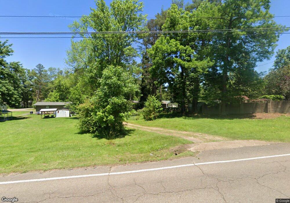
705 Meadow Ln West Point, MS 39773
Estimated Value: $51,000 - $85,000
2
Beds
--
Bath
1,079
Sq Ft
$68/Sq Ft
Est. Value
About This Home
This home is located at 705 Meadow Ln, West Point, MS 39773 and is currently estimated at $73,761, approximately $68 per square foot. 705 Meadow Ln is a home located in Clay County with nearby schools including East Side Elementary School, West Clay Elementary School, and Church Hill Elementary School.
Ownership History
Date
Name
Owned For
Owner Type
Purchase Details
Closed on
Aug 4, 2016
Sold by
C & C Home Rentals Llc
Bought by
Hays Thomas Wilson
Current Estimated Value
Home Financials for this Owner
Home Financials are based on the most recent Mortgage that was taken out on this home.
Original Mortgage
$40,850
Outstanding Balance
$32,162
Interest Rate
3.41%
Mortgage Type
New Conventional
Estimated Equity
$41,599
Create a Home Valuation Report for This Property
The Home Valuation Report is an in-depth analysis detailing your home's value as well as a comparison with similar homes in the area
Purchase History
| Date | Buyer | Sale Price | Title Company |
|---|---|---|---|
| Hays Thomas Wilson | -- | -- |
Source: Public Records
Mortgage History
| Date | Status | Borrower | Loan Amount |
|---|---|---|---|
| Open | Hays Thomas Wilson | $40,850 |
Source: Public Records
Tax History
| Year | Tax Paid | Tax Assessment Tax Assessment Total Assessment is a certain percentage of the fair market value that is determined by local assessors to be the total taxable value of land and additions on the property. | Land | Improvement |
|---|---|---|---|---|
| 2025 | $162 | $4,763 | $943 | $3,820 |
| 2024 | $162 | $4,763 | $943 | $3,820 |
| 2023 | $471 | $4,307 | $943 | $3,364 |
| 2022 | $149 | $4,307 | $943 | $3,364 |
| 2021 | $148 | $4,307 | $943 | $3,364 |
| 2020 | $150 | $4,307 | $943 | $3,364 |
| 2019 | $111 | $3,562 | $943 | $2,619 |
| 2018 | $104 | $3,562 | $943 | $2,619 |
| 2017 | $104 | $3,562 | $943 | $2,619 |
| 2016 | $258 | $5,343 | $1,414 | $3,929 |
| 2015 | $249 | $4,991 | $1,414 | $3,577 |
| 2014 | $256 | $4,991 | $1,414 | $3,577 |
| 2013 | $256 | $4,991 | $1,414 | $3,577 |
Source: Public Records
Map
Nearby Homes
- 112 Meadow Hill Rd
- 229 Clark Cir
- 15 David St
- 1046 E Brame Ave
- 74 Tom Bayne St
- 65 Calhoun St
- 98 Calhoun St
- 405 S Eshman Ave
- 44 Torbert Dr
- 389 Mapleview Rd
- 472 S Eshman Ave
- 507 S Eshman Ave
- 238 Calhoun St
- Lot 2 Waverly Rd
- Lot 6 Waverly Rd
- Lot 5 Waverly Rd
- Lot 3 Waverly Rd
- Lot 10 Waverly Rd
- Lot 8 Waverly Rd
- Lot 7 Waverly Rd
- 703 Meadow Ln
- 701 Meadow Ln
- 445 Meadow Ln
- 308 Meadowbrook Cir
- 707 Meadow Ln
- 700 Meadow Ln
- 1971 E Church Hill Rd
- 2141 E Church Hill Rd
- 4021 E Church Hill Rd
- 4353 E Church Hill Rd
- 4572 E Church Hill Rd
- 4368 E Church Hill Rd
- 2762 E Church Hill Rd
- 2310 E Church Hill Rd
- 302 Meadowbrook Cir
- 702 Meadow Ln
- 1011 Meadowhill Rd
- 625 Meadowbrook Cir
- 916 Meadowbrook Dr
- 915 Meadowhill Rd
Your Personal Tour Guide
Ask me questions while you tour the home.