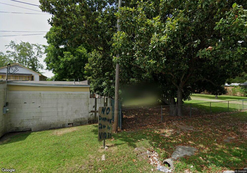
705 Millville Dr Houston, TX 77091
Acres Homes NeighborhoodEstimated Value: $145,000 - $177,000
3
Beds
1
Bath
1,006
Sq Ft
$158/Sq Ft
Est. Value
About This Home
This home is located at 705 Millville Dr, Houston, TX 77091 and is currently estimated at $159,248, approximately $158 per square foot. 705 Millville Dr is a home located in Harris County with nearby schools including Wesley Elementary School, Williams Middle, and Booker T Washington Sr High.
Ownership History
Date
Name
Owned For
Owner Type
Purchase Details
Closed on
Nov 1, 2024
Sold by
Rebuilding Investments Llc
Bought by
Asfour Fayez Sharif Fayez and Samhat Esa
Current Estimated Value
Purchase Details
Closed on
Oct 31, 2024
Sold by
Villarreal Jesus Moreno
Bought by
Rebuilding Investments Llc
Purchase Details
Closed on
Jan 20, 2022
Sold by
Krebs William Andrew
Bought by
Krebs Michael Dewayne
Create a Home Valuation Report for This Property
The Home Valuation Report is an in-depth analysis detailing your home's value as well as a comparison with similar homes in the area
Home Values in the Area
Average Home Value in this Area
Purchase History
| Date | Buyer | Sale Price | Title Company |
|---|---|---|---|
| Asfour Fayez Sharif Fayez | -- | None Listed On Document | |
| Rebuilding Investments Llc | -- | None Listed On Document | |
| Krebs Michael Dewayne | -- | -- |
Source: Public Records
Tax History Compared to Growth
Tax History
| Year | Tax Paid | Tax Assessment Tax Assessment Total Assessment is a certain percentage of the fair market value that is determined by local assessors to be the total taxable value of land and additions on the property. | Land | Improvement |
|---|---|---|---|---|
| 2025 | $1,962 | $117,020 | $116,820 | $200 |
| 2024 | $1,962 | $117,020 | $116,920 | $100 |
| 2023 | $2,549 | $131,758 | $121,524 | $10,234 |
| 2022 | $2,297 | $104,329 | $94,848 | $9,481 |
| 2021 | $1,645 | $70,572 | $59,280 | $11,292 |
| 2020 | $1,017 | $41,985 | $30,826 | $11,159 |
| 2019 | $582 | $23,015 | $11,856 | $11,159 |
| 2018 | $554 | $21,886 | $11,856 | $10,030 |
| 2017 | $553 | $21,886 | $11,856 | $10,030 |
| 2016 | $553 | $21,886 | $11,856 | $10,030 |
| 2015 | $291 | $11,310 | $9,528 | $1,782 |
| 2014 | $291 | $11,310 | $9,528 | $1,782 |
Source: Public Records
Map
Nearby Homes
- 824 W Rittenhouse St
- 715 W Rittenhouse Rd
- 859 W Rittenhouse St
- 747 W Rittenhouse Rd
- 740 Millville Dr
- 748 Millville Dr
- 775 Rittenhouse St
- 7014 De Priest St
- 741 Granville Dr
- 6220 De Priest St
- 862 Granville Dr
- 5736 Stuebner Airline Rd
- 814 Granville Dr
- 6315 N Shepherd Dr
- 0 Lovers Ln Unit 36585920
- 855 W Little York Rd
- 834 Green Meadow Ln
- 1031 S Victory Dr
- 1033 S Victory Dr
- 847 S Victory Dr
- 711 Millville Dr
- 727 Millville Dr
- 7127 N Shepherd Dr
- 708 W Rittenhouse St
- 7115 N Shepherd Dr
- 718 Millville Dr
- 716 W Rittenhouse Rd
- 714 Millville Dr
- 724 W Rittenhouse Rd
- 729 Millville Dr
- 7124 N Shepherd Dr
- 728 W Rittenhouse Rd
- 728 Millville Dr
- 728 W Rittenhouse St
- 7118 N Shepherd Dr
- 7106 N Shepherd Dr
- 7106-7124 N Shepherd Dr
- 709 W Rittenhouse Rd
- 737 Millville Dr
- 736 W Rittenhouse Rd