Estimated Value: $171,712 - $201,000
--
Bed
--
Bath
1,385
Sq Ft
$135/Sq Ft
Est. Value
About This Home
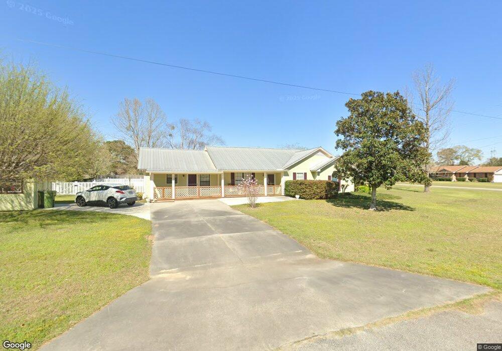
This home is located at 705 Moss Way, Adel, GA 31620 and is currently estimated at $186,928, approximately $134 per square foot. 705 Moss Way is a home located in Cook County with nearby schools including Cook Primary School, Cook Elementary School, and Cook County Middle School.
Ownership History
Date
Name
Owned For
Owner Type
Purchase Details
Closed on
Oct 31, 2008
Sold by
Chance Tony W
Bought by
Chance Tony W and Chance Linda F
Current Estimated Value
Create a Home Valuation Report for This Property
The Home Valuation Report is an in-depth analysis detailing your home's value as well as a comparison with similar homes in the area
Home Values in the Area
Average Home Value in this Area
Purchase History
| Date | Buyer | Sale Price | Title Company |
|---|---|---|---|
| Chance Tony W | -- | -- | |
| Chance Tony W | -- | -- |
Source: Public Records
Tax History Compared to Growth
Tax History
| Year | Tax Paid | Tax Assessment Tax Assessment Total Assessment is a certain percentage of the fair market value that is determined by local assessors to be the total taxable value of land and additions on the property. | Land | Improvement |
|---|---|---|---|---|
| 2024 | $1,845 | $56,003 | $6,944 | $49,059 |
| 2023 | $1,603 | $48,674 | $6,200 | $42,474 |
| 2022 | $1,603 | $48,674 | $6,200 | $42,474 |
| 2021 | $1,456 | $41,304 | $6,200 | $35,104 |
| 2020 | $1,456 | $41,304 | $6,200 | $35,104 |
| 2019 | $1,457 | $41,304 | $6,200 | $35,104 |
| 2018 | $1,459 | $41,304 | $6,200 | $35,104 |
| 2017 | $1,459 | $41,304 | $6,200 | $35,104 |
| 2016 | $1,461 | $41,304 | $6,200 | $35,104 |
| 2015 | $1,484 | $41,904 | $6,800 | $35,104 |
| 2014 | $1,486 | $41,904 | $6,800 | $35,104 |
| 2013 | -- | $41,904 | $6,800 | $35,104 |
Source: Public Records
Map
Nearby Homes
- 1306 Bear Creek Rd
- 1402 Bear Creek Rd
- 701 Gloria St
- 2302 Thomas St
- 1715 Jimmy St
- 315 Newton Dr
- 625 Coxstill Rd
- 2503 Dianne St
- 2603 Dianne St
- 2601 Massee Post Rd
- 22 Woodland Dr
- 418 E 3rd St
- 901 E 4th St
- 304 E 3rd St
- 105 Orchard Cir
- 211 S Gordon Ave
- 322 Magnolia Dr
- 284 Barrett Rd
- 1377 Hutchinson Parrish Rd
- 804 S Forrest Ave
- 1305 Pebblewood Dr
- 704 Moss Way
- 706 Moss Way
- 1300 Pebblewood Dr
- 1307 Pebblewood Dr
- 1302 Bear Creek Rd
- 1404 Bear Creek Rd
- 708 Moss Way
- 1400 Pebblewood Dr
- 1203 Massee Post Rd
- 1403 Pebblewood Dr
- 1305 Bear Creek Rd
- 1401 Bear Creek Rd
- 1406 Bear Creek Rd
- 1303 Bear Creek Rd
- 1402 Pebblewood Dr
- 1207 Massee Post Rd
- 604 Sherwood Dr
- 1405 Pebblewood Dr
- 602 Sherwood Dr