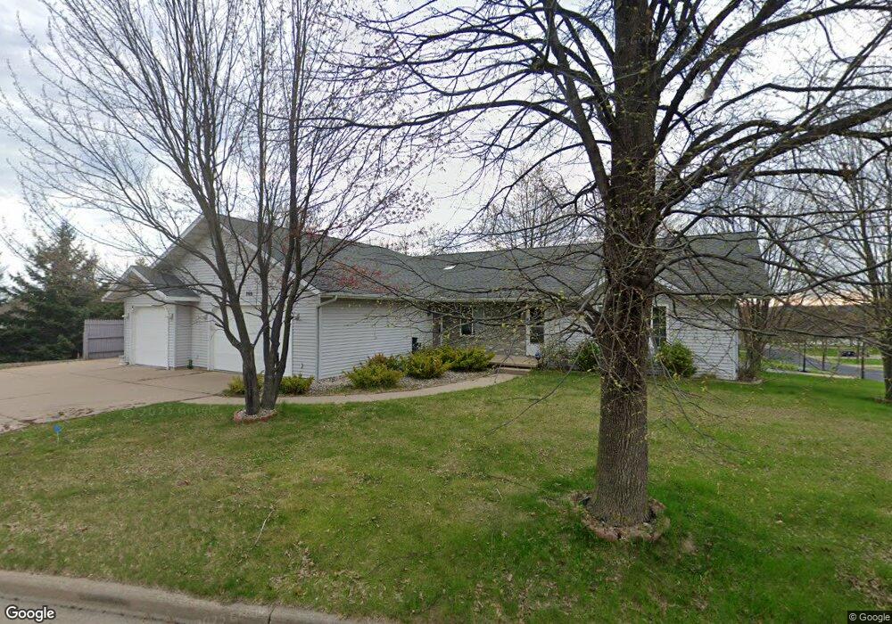
705 N 16th Ave Wausau, WI 54401
Estimated Value: $350,930 - $438,000
4
Beds
2
Baths
2,596
Sq Ft
$153/Sq Ft
Est. Value
About This Home
This home is located at 705 N 16th Ave, Wausau, WI 54401 and is currently estimated at $398,233, approximately $153 per square foot. 705 N 16th Ave is a home located in Marathon County with nearby schools including Grant Elementary School, John Muir Middle School, and West High School.
Ownership History
Date
Name
Owned For
Owner Type
Purchase Details
Closed on
Oct 31, 2011
Sold by
Own Your Own Llc
Bought by
Lawal Nurudeen A and Lawal Kehinde A
Current Estimated Value
Home Financials for this Owner
Home Financials are based on the most recent Mortgage that was taken out on this home.
Original Mortgage
$162,000
Outstanding Balance
$16,455
Interest Rate
4.09%
Mortgage Type
New Conventional
Estimated Equity
$381,778
Purchase Details
Closed on
Jul 8, 2010
Sold by
Wood Gerald J and Wood Carrie L
Bought by
Own Yourown Llc
Create a Home Valuation Report for This Property
The Home Valuation Report is an in-depth analysis detailing your home's value as well as a comparison with similar homes in the area
Home Values in the Area
Average Home Value in this Area
Purchase History
| Date | Buyer | Sale Price | Title Company |
|---|---|---|---|
| Lawal Nurudeen A | $180,000 | None Available | |
| Own Yourown Llc | $132,500 | None Available |
Source: Public Records
Mortgage History
| Date | Status | Borrower | Loan Amount |
|---|---|---|---|
| Open | Lawal Nurudeen A | $162,000 |
Source: Public Records
Tax History Compared to Growth
Tax History
| Year | Tax Paid | Tax Assessment Tax Assessment Total Assessment is a certain percentage of the fair market value that is determined by local assessors to be the total taxable value of land and additions on the property. | Land | Improvement |
|---|---|---|---|---|
| 2024 | $5,982 | $323,700 | $36,600 | $287,100 |
| 2023 | $4,649 | $196,000 | $36,600 | $159,400 |
| 2022 | $4,683 | $196,000 | $36,600 | $159,400 |
| 2021 | $4,511 | $196,000 | $36,600 | $159,400 |
| 2020 | $4,673 | $196,000 | $36,600 | $159,400 |
| 2019 | $4,367 | $172,800 | $30,900 | $141,900 |
| 2018 | $4,515 | $172,800 | $30,900 | $141,900 |
| 2017 | $4,224 | $172,800 | $30,900 | $141,900 |
| 2016 | $4,097 | $172,800 | $30,900 | $141,900 |
| 2015 | $4,345 | $172,800 | $30,900 | $141,900 |
| 2014 | $4,543 | $189,600 | $33,000 | $156,600 |
Source: Public Records
Map
Nearby Homes
- 1505 Graham St
- 501 N 12th Ave
- 1514 Brady St
- 1104 Holub St
- 614 N 10th Ave
- 802 N 9th Ave
- 1111 Pine St
- 706 N 9th Ave
- 328 N 11th Ave
- 213 N 17th Ave
- 515 N 8th Ave
- 314 N 10th Ave
- 427 N 6th Ave
- 1504 N 15th Ave
- 1508 Merrill Ave Unit 311
- 1508 Merrill Ave Unit 213
- 817 N 2nd Ave
- 1311 N 4th Ave
- 409 S 12th Ave
- 108 W Strowbridge St
- 1508 Quaw St
- 715 N 16th Ave
- 1507 Norton St
- 704 N 16th Ave Unit 706
- 710-712 N 16th Ave
- 710 N 16th Ave Unit 712
- 1501 Norton St
- 640 N 16th Ave
- 1502 Quaw St
- 640 N 16th Ave Unit 642
- 634 N 16th Ave Unit 636
- 720 N 16th Ave Unit 722
- 1407 Norton St
- 1408 Quaw St
- 1508 Norton St
- 628 N 16th Ave Unit 630
- 1502 Norton St
- 1514 Norton St
- 730 N 16th Ave Unit 1
- 1401 Norton St