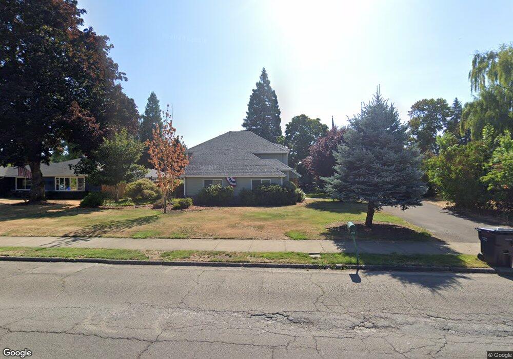
705 N Molalla Ave Molalla, OR 97038
Estimated Value: $856,000 - $936,138
4
Beds
3
Baths
3,640
Sq Ft
$247/Sq Ft
Est. Value
About This Home
This home is located at 705 N Molalla Ave, Molalla, OR 97038 and is currently estimated at $898,379, approximately $246 per square foot. 705 N Molalla Ave is a home located in Clackamas County with nearby schools including Country Christian School and Oregon Outreach - Molalla Pride.
Ownership History
Date
Name
Owned For
Owner Type
Purchase Details
Closed on
Jun 1, 2007
Sold by
Pottle George B and Pottle George B
Bought by
Pottle George B and Pottle Joan
Current Estimated Value
Home Financials for this Owner
Home Financials are based on the most recent Mortgage that was taken out on this home.
Original Mortgage
$487,000
Outstanding Balance
$295,742
Interest Rate
6.14%
Mortgage Type
Stand Alone Refi Refinance Of Original Loan
Estimated Equity
$602,637
Purchase Details
Closed on
Feb 27, 1998
Sold by
Koos John E and Koos Kristina L
Bought by
Pottle George B
Home Financials for this Owner
Home Financials are based on the most recent Mortgage that was taken out on this home.
Original Mortgage
$184,000
Interest Rate
6.99%
Mortgage Type
VA
Create a Home Valuation Report for This Property
The Home Valuation Report is an in-depth analysis detailing your home's value as well as a comparison with similar homes in the area
Home Values in the Area
Average Home Value in this Area
Purchase History
| Date | Buyer | Sale Price | Title Company |
|---|---|---|---|
| Pottle George B | -- | Ticor Title Insurance Compan | |
| Pottle George B | $189,900 | Fidelity National Title Co |
Source: Public Records
Mortgage History
| Date | Status | Borrower | Loan Amount |
|---|---|---|---|
| Open | Pottle George B | $487,000 | |
| Closed | Pottle George B | $184,000 |
Source: Public Records
Tax History Compared to Growth
Tax History
| Year | Tax Paid | Tax Assessment Tax Assessment Total Assessment is a certain percentage of the fair market value that is determined by local assessors to be the total taxable value of land and additions on the property. | Land | Improvement |
|---|---|---|---|---|
| 2025 | $11,177 | $615,050 | -- | -- |
| 2024 | $10,804 | $597,136 | -- | -- |
| 2023 | $10,804 | $579,744 | $0 | $0 |
| 2022 | $8,908 | $562,859 | $0 | $0 |
| 2021 | $8,543 | $546,466 | $0 | $0 |
| 2020 | $8,305 | $530,550 | $0 | $0 |
| 2019 | $8,063 | $515,098 | $0 | $0 |
| 2018 | $7,838 | $500,095 | $0 | $0 |
| 2017 | $7,515 | $485,529 | $0 | $0 |
| 2016 | $7,124 | $471,387 | $0 | $0 |
| 2015 | $6,808 | $457,657 | $0 | $0 |
| 2014 | $6,028 | $411,617 | $0 | $0 |
Source: Public Records
Map
Nearby Homes
- 123 Shirley St
- 227 Hauser Ct
- 416 Kennel Ave
- 225 N Molalla Ave
- 619 E Heintz St
- 162 Fenton Ave Unit C
- 1341 Rachel Ln
- 1101 Rachel Ln
- 1241 Rachel Ln
- 1291 Rachel Ln
- 1261 Rachel Ln
- 121 W Ross St
- 218 Finneys Ave
- 207 Finneys Ave
- 118 Engle Ave
- B2 Plan at River Meadows
- C2 Plan at River Meadows
- A1 Plan at River Meadows
- B2b Plan at River Meadows
- A2 Plan at River Meadows
- 701 N Molalla Ave
- 709 N Molalla Ave
- 105 E Francis St
- 116 Miller St
- 711 N Molalla Ave
- 708 Faurie St
- 109 Frances St
- 109 E Francis St
- 640 N Molalla Ave
- 640 N Molalla Ave
- 718 Faurie St
- 150 Miller St
- 710 N Molalla Ave
- 702 Faurie St
- 106 E Francis St
- 644 N Molalla Ave
- 124 Frances St
- 145 Miller St
- 124 E Francis St