Estimated Value: $220,000 - $247,734
3
Beds
2
Baths
1,344
Sq Ft
$176/Sq Ft
Est. Value
About This Home
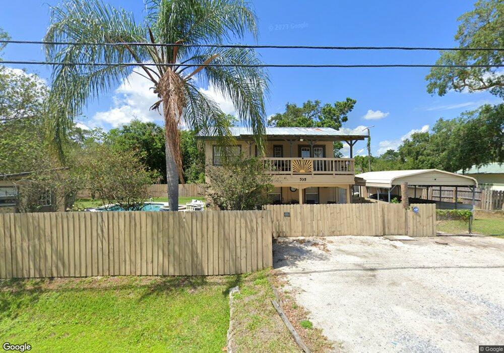
This home is located at 705 N Range Rd, Cocoa, FL 32926 and is currently estimated at $236,684, approximately $176 per square foot. 705 N Range Rd is a home located in Brevard County with nearby schools including Saturn Elementary School, Cocoa High School, and RFM Christian Academy.
Ownership History
Date
Name
Owned For
Owner Type
Purchase Details
Closed on
Aug 18, 2004
Sold by
Nobles Billy I and Nobles Dawn M
Bought by
Brown Glen F and Brown Holly
Current Estimated Value
Home Financials for this Owner
Home Financials are based on the most recent Mortgage that was taken out on this home.
Original Mortgage
$84,550
Outstanding Balance
$40,920
Interest Rate
5.96%
Estimated Equity
$195,764
Purchase Details
Closed on
Feb 13, 2001
Sold by
Roberts Roy and Roberts Betty Marlene
Bought by
Nobles Billy L and Nobles Dawn M
Create a Home Valuation Report for This Property
The Home Valuation Report is an in-depth analysis detailing your home's value as well as a comparison with similar homes in the area
Home Values in the Area
Average Home Value in this Area
Purchase History
| Date | Buyer | Sale Price | Title Company |
|---|---|---|---|
| Brown Glen F | $89,000 | Federal Title Ins Assoc Inc | |
| Nobles Billy L | -- | -- |
Source: Public Records
Mortgage History
| Date | Status | Borrower | Loan Amount |
|---|---|---|---|
| Open | Brown Glen F | $84,550 |
Source: Public Records
Tax History Compared to Growth
Tax History
| Year | Tax Paid | Tax Assessment Tax Assessment Total Assessment is a certain percentage of the fair market value that is determined by local assessors to be the total taxable value of land and additions on the property. | Land | Improvement |
|---|---|---|---|---|
| 2025 | $1,017 | $75,710 | -- | -- |
| 2024 | $997 | $73,580 | -- | -- |
| 2023 | $997 | $71,440 | -- | -- |
| 2022 | $940 | $69,360 | $0 | $0 |
| 2021 | $941 | $67,340 | $0 | $0 |
| 2020 | $895 | $66,420 | $0 | $0 |
| 2019 | $842 | $64,930 | $0 | $0 |
| 2018 | $842 | $63,720 | $0 | $0 |
| 2017 | $842 | $62,410 | $0 | $0 |
| 2016 | $850 | $61,130 | $12,000 | $49,130 |
| 2015 | $854 | $60,710 | $12,000 | $48,710 |
| 2014 | $857 | $60,230 | $12,000 | $48,230 |
Source: Public Records
Map
Nearby Homes
- 717 Lunar Lake Cir
- 766 Lunar Lake Cir
- 764 Lunar Lake Cir
- 703 Venus Dr
- 2511 Hathaway Dr
- 1301 N Range Rd
- 2472 Victor Rd
- 2442 Dianne Dr
- 0000 N Range Rd
- 2409 Granger Rd
- 2559 Hooper Rd
- 1353 S Stetson Dr
- 2029 Ivy Dr
- 1326 Stetson Ct
- 2515 Fairfield Dr
- 1703 Spartan St Unit SRO737
- 2500 Fairfield Dr
- 1686 Ritzcraft St Unit 326
- 1810 Dixon Blvd
- 701 Monday Ct
- 2528 Cocoanut Dr
- 2512 Coconut Dr
- 753 N Range Rd
- 2509 Cocoanut Dr
- 795 Lunar Lake Cir
- 793 Lunar Lake Cir Unit Left Side
- 793 Lunar Lake Cir
- 2490 Neptune Ct
- 799 Lunar Lake Cir
- 701 N Range Rd
- 791 Lunar Lake Cir
- 2509 Coconut Dr
- 2511 Date Dr
- 2488 Neptune Ct
- 2514 Coconut Dr
- 789 Lunar Lake Cir
- 2511 Coconut Dr
- 2486 Neptune Ct
- 0 Date Dr
- 790 Lunar Lake Cir