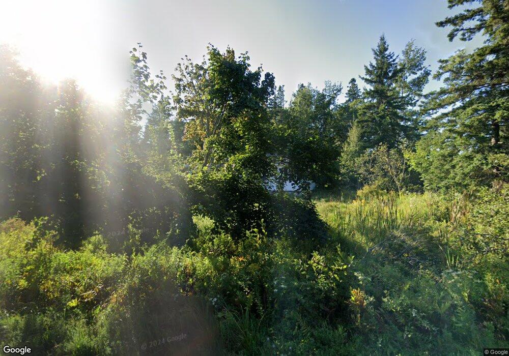
705 Oak Point Rd Trenton, ME 04605
Estimated Value: $285,603 - $428,000
3
Beds
1
Bath
1,196
Sq Ft
$312/Sq Ft
Est. Value
About This Home
This home is located at 705 Oak Point Rd, Trenton, ME 04605 and is currently estimated at $373,651, approximately $312 per square foot. 705 Oak Point Rd is a home with nearby schools including Trenton Elementary School.
Ownership History
Date
Name
Owned For
Owner Type
Purchase Details
Closed on
Mar 11, 2011
Sold by
Scovill Catherine A
Bought by
Wells Fargo Bank Na
Current Estimated Value
Purchase Details
Closed on
May 24, 2005
Sold by
Pickering Jason
Bought by
Scovill Catherine A
Home Financials for this Owner
Home Financials are based on the most recent Mortgage that was taken out on this home.
Original Mortgage
$75,000
Interest Rate
7%
Mortgage Type
Commercial
Create a Home Valuation Report for This Property
The Home Valuation Report is an in-depth analysis detailing your home's value as well as a comparison with similar homes in the area
Home Values in the Area
Average Home Value in this Area
Purchase History
| Date | Buyer | Sale Price | Title Company |
|---|---|---|---|
| Wells Fargo Bank Na | -- | -- | |
| Scovill Catherine A | -- | -- |
Source: Public Records
Mortgage History
| Date | Status | Borrower | Loan Amount |
|---|---|---|---|
| Previous Owner | Scovill Catherine A | $75,000 |
Source: Public Records
Tax History Compared to Growth
Tax History
| Year | Tax Paid | Tax Assessment Tax Assessment Total Assessment is a certain percentage of the fair market value that is determined by local assessors to be the total taxable value of land and additions on the property. | Land | Improvement |
|---|---|---|---|---|
| 2024 | $2,160 | $183,800 | $42,400 | $141,400 |
| 2023 | $1,844 | $122,600 | $28,300 | $94,300 |
| 2022 | $1,708 | $122,600 | $28,300 | $94,300 |
| 2021 | $1,680 | $122,600 | $28,300 | $94,300 |
| 2020 | $1,633 | $122,600 | $28,300 | $94,300 |
| 2019 | $1,460 | $122,600 | $28,300 | $94,300 |
| 2018 | $1,344 | $124,900 | $28,300 | $96,600 |
| 2017 | $1,265 | $126,000 | $28,300 | $97,700 |
| 2016 | $1,260 | $125,600 | $28,300 | $97,300 |
| 2015 | $1,287 | $126,200 | $28,300 | $97,900 |
| 2014 | $1,283 | $125,800 | $28,300 | $97,500 |
| 2013 | $1,429 | $137,400 | $27,000 | $110,400 |
Source: Public Records
Map
Nearby Homes
- 001-108 Oak Point Rd
- 48 Sheltons Rd
- 35 Nutting Ln
- 363 Oak Point Rd
- 53 Woodland Dr
- 58 Pressey Ln
- 37 Hanna Dr
- 31 Daybreak Ln
- 16 Blodgett Dr
- 16 Blodgett Ln
- 0 Country Way
- 1274 Bayside Rd
- 1439 State Highway 102
- Lot 38 Arrowhead Rd
- Lot 79-01 Knox Rd
- 85 Bonsey Ln
- Lot 3 Belle Grande Dr
- 159 Gilbert Farm Rd
- 005 Newbury Neck Rd
- Lot 4 Belle Grande Dr
- 697 Oak Point Rd
- 721 Oak Point Rd
- 715 Oak Point Rd
- 698 Oak Point Rd
- 722 Oak Point Rd
- 17 Raven Ridge Ln
- 31 Raven Ridge Ln
- 19 Raven Ridge Ln
- 8 Raven Ridge Ln
- 9 Stillmeadow Ln
- 685 Oak Point Rd
- 683 Oak Point Rd
- 17 Stillmeadow Ln
- 8 Still Meadow
- 735 Oak Point Rd
- 25 Raven Ridge Ln
- 679 Oak Point Rd
- 000 Stillmeadow Ln
- 740 Oak Point Rd
- 29 Stillmeadow Ln
