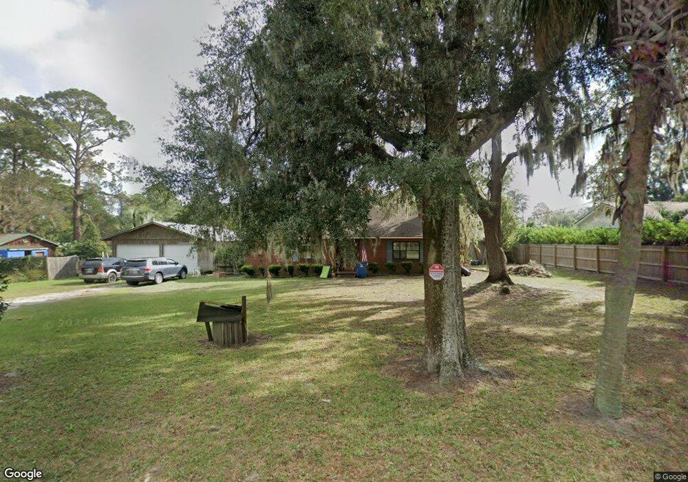
705 Palm Ave Brunswick, GA 31523
Estimated Value: $216,000 - $285,000
5
Beds
3
Baths
2,205
Sq Ft
$113/Sq Ft
Est. Value
About This Home
This home is located at 705 Palm Ave, Brunswick, GA 31523 and is currently estimated at $248,565, approximately $112 per square foot. 705 Palm Ave is a home located in Glynn County with nearby schools including Glyndale Elementary School, Jane Macon Middle School, and Glynn Academy.
Ownership History
Date
Name
Owned For
Owner Type
Purchase Details
Closed on
Nov 8, 2011
Sold by
Suntrust Mortgage Inc
Bought by
Missildine Gillian S
Current Estimated Value
Purchase Details
Closed on
Aug 2, 2011
Sold by
Federal National Mortgage Association
Bought by
Suntrust Mortgage Inc
Purchase Details
Closed on
Jul 6, 2010
Sold by
Suntrust Mortgage Inc
Bought by
Federal National Mortgage Corporation
Create a Home Valuation Report for This Property
The Home Valuation Report is an in-depth analysis detailing your home's value as well as a comparison with similar homes in the area
Home Values in the Area
Average Home Value in this Area
Purchase History
| Date | Buyer | Sale Price | Title Company |
|---|---|---|---|
| Missildine Gillian S | $77,000 | -- | |
| Suntrust Mortgage Inc | -- | -- | |
| Federal National Mortgage Corporation | $100,900 | -- | |
| Suntrust Mortgage Inc | $100,900 | -- |
Source: Public Records
Tax History
| Year | Tax Paid | Tax Assessment Tax Assessment Total Assessment is a certain percentage of the fair market value that is determined by local assessors to be the total taxable value of land and additions on the property. | Land | Improvement |
|---|---|---|---|---|
| 2025 | $2,003 | $79,880 | $8,200 | $71,680 |
| 2024 | $2,023 | $80,680 | $8,200 | $72,480 |
| 2023 | $893 | $80,680 | $8,200 | $72,480 |
| 2022 | $1,300 | $69,320 | $6,320 | $63,000 |
| 2021 | $1,336 | $56,480 | $6,320 | $50,160 |
| 2020 | $1,347 | $54,160 | $6,320 | $47,840 |
| 2019 | $1,347 | $54,160 | $6,320 | $47,840 |
| 2018 | $1,347 | $54,160 | $6,320 | $47,840 |
| 2017 | $1,347 | $51,840 | $6,320 | $45,520 |
| 2016 | $1,369 | $51,840 | $6,320 | $45,520 |
| 2015 | $1,039 | $37,920 | $6,320 | $31,600 |
| 2014 | $1,039 | $37,920 | $6,320 | $31,600 |
Source: Public Records
Map
Nearby Homes
- 913 Elder St
- 123 Stately Oaks Cir
- 0 Oak Bluff Rd
- 188 Highland Park Dr
- 450 Warren Mason Blvd
- 116 Burnett Rd Unit A,B,C,D & E
- 1020 Lakes Blvd
- 1026 Lakes Blvd
- 1032 Lakes Blvd
- 1040 Lakes Blvd
- 1038 Lakes Blvd
- 1042 Lakes Blvd
- 1046 Lakes Blvd
- 1052 Lakes Blvd
- 1050 Lakes Blvd
- 1060 Lakes Blvd
- 1058 Lakes Blvd
- 34 Salty Dog Ln
- 102 Hazel Ln
- 138 River Ridge Rd
Your Personal Tour Guide
Ask me questions while you tour the home.