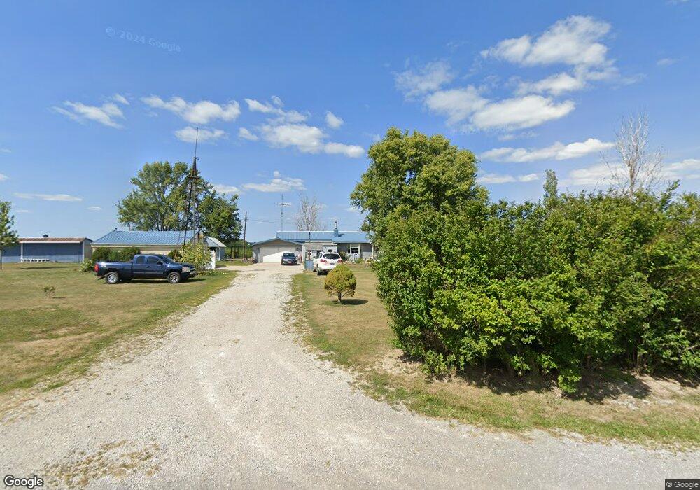
705 Pine Rd Coldwater, OH 45828
Estimated Value: $284,609 - $338,000
4
Beds
2
Baths
1,698
Sq Ft
$183/Sq Ft
Est. Value
About This Home
This home is located at 705 Pine Rd, Coldwater, OH 45828 and is currently estimated at $310,902, approximately $183 per square foot. 705 Pine Rd is a home with nearby schools including Coldwater Elementary School, Coldwater Middle School, and Coldwater High School.
Ownership History
Date
Name
Owned For
Owner Type
Purchase Details
Closed on
Oct 13, 2020
Sold by
Fella Donna L
Bought by
Fella Diegel Stephanie J and Diegel Mopnte L
Current Estimated Value
Home Financials for this Owner
Home Financials are based on the most recent Mortgage that was taken out on this home.
Original Mortgage
$80,025
Outstanding Balance
$70,369
Interest Rate
2.9%
Mortgage Type
New Conventional
Estimated Equity
$240,533
Purchase Details
Closed on
Nov 29, 2004
Bought by
Fella Donna L
Create a Home Valuation Report for This Property
The Home Valuation Report is an in-depth analysis detailing your home's value as well as a comparison with similar homes in the area
Purchase History
| Date | Buyer | Sale Price | Title Company |
|---|---|---|---|
| Fella Diegel Stephanie J | $82,514 | None Available | |
| Fella Donna L | -- | -- |
Source: Public Records
Mortgage History
| Date | Status | Borrower | Loan Amount |
|---|---|---|---|
| Open | Fella Diegel Stephanie J | $80,025 |
Source: Public Records
Tax History
| Year | Tax Paid | Tax Assessment Tax Assessment Total Assessment is a certain percentage of the fair market value that is determined by local assessors to be the total taxable value of land and additions on the property. | Land | Improvement |
|---|---|---|---|---|
| 2025 | $2,516 | $76,130 | $14,980 | $61,150 |
| 2024 | $2,519 | $76,130 | $14,980 | $61,150 |
| 2023 | $2,516 | $76,130 | $14,980 | $61,150 |
| 2022 | $2,418 | $66,020 | $10,890 | $55,130 |
| 2021 | $2,408 | $65,390 | $10,890 | $54,500 |
| 2020 | $1,983 | $65,390 | $10,890 | $54,500 |
| 2019 | $1,766 | $57,470 | $9,870 | $47,600 |
| 2018 | $1,758 | $57,470 | $9,870 | $47,600 |
| 2017 | $1,762 | $57,470 | $9,870 | $47,600 |
| 2016 | $1,669 | $54,110 | $10,080 | $44,030 |
| 2015 | $1,613 | $54,110 | $10,080 | $44,030 |
| 2014 | $1,625 | $54,110 | $10,080 | $44,030 |
| 2013 | $1,643 | $50,130 | $9,350 | $40,780 |
Source: Public Records
Map
Nearby Homes
- 8720 E 50 N
- TBD E 200 N
- 4295 William Ave
- 0 Springer 1-6 & Roadway 14-16 Unit 1044131
- 0 Anderson Lots 10 11 & 12 Ln Unit 1044138
- 0 Harbor Lots 26 27 & 38 Dr Unit 1044287
- 0 Harbor Lots 24 & 25 Dr Unit 1044267
- 0 Anderson 13&14 & Roadway 12&13 Unit 1044236
- 67 State Route 49
- 205 S Elm St
- 311 Harrison St
- 513 W Main St
- 401 Gwendolyn St
- 6764 Silver Lakes Dr
- 309 N 2nd St
- 420 S 1st St
- 309 E Vine St
- 14.62 Acres E 800 S
- 1742 Flaler Rd
- 515 E Plum St
Your Personal Tour Guide
Ask me questions while you tour the home.