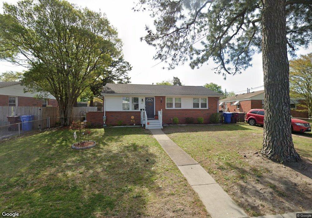
705 Pond Ln Chesapeake, VA 23325
Indian River NeighborhoodEstimated Value: $242,000 - $265,000
3
Beds
1
Bath
950
Sq Ft
$265/Sq Ft
Est. Value
About This Home
This home is located at 705 Pond Ln, Chesapeake, VA 23325 and is currently estimated at $251,385, approximately $264 per square foot. 705 Pond Ln is a home located in Chesapeake City with nearby schools including Thurgood Marshall Elementary School, Indian River Middle, and Indian River High.
Ownership History
Date
Name
Owned For
Owner Type
Purchase Details
Closed on
Feb 28, 2022
Sold by
Fortune Joel R
Bought by
Genegabus Benjamin and Genegabus Patricia
Current Estimated Value
Home Financials for this Owner
Home Financials are based on the most recent Mortgage that was taken out on this home.
Original Mortgage
$188,910
Interest Rate
3.92%
Mortgage Type
New Conventional
Purchase Details
Closed on
Jun 11, 2021
Sold by
Stephens Rory E
Bought by
Fortune Joel R
Create a Home Valuation Report for This Property
The Home Valuation Report is an in-depth analysis detailing your home's value as well as a comparison with similar homes in the area
Home Values in the Area
Average Home Value in this Area
Purchase History
| Date | Buyer | Sale Price | Title Company |
|---|---|---|---|
| Genegabus Benjamin | $209,900 | Chicago Title | |
| Fortune Joel R | $125,000 | Gem Title Llc |
Source: Public Records
Mortgage History
| Date | Status | Borrower | Loan Amount |
|---|---|---|---|
| Previous Owner | Genegabus Benjamin | $188,910 |
Source: Public Records
Tax History Compared to Growth
Tax History
| Year | Tax Paid | Tax Assessment Tax Assessment Total Assessment is a certain percentage of the fair market value that is determined by local assessors to be the total taxable value of land and additions on the property. | Land | Improvement |
|---|---|---|---|---|
| 2025 | $2,258 | $239,600 | $100,000 | $139,600 |
| 2024 | $2,258 | $223,600 | $90,000 | $133,600 |
| 2023 | $2,169 | $214,800 | $80,000 | $134,800 |
| 2022 | $1,866 | $184,800 | $65,000 | $119,800 |
| 2021 | $1,288 | $122,700 | $55,000 | $67,700 |
| 2020 | $1,257 | $119,700 | $55,000 | $64,700 |
| 2019 | $1,225 | $116,700 | $55,000 | $61,700 |
| 2018 | $1,239 | $111,100 | $50,000 | $61,100 |
| 2017 | $1,200 | $114,300 | $50,000 | $64,300 |
| 2016 | $1,180 | $112,400 | $50,000 | $62,400 |
| 2015 | $1,167 | $111,100 | $50,000 | $61,100 |
| 2014 | $1,162 | $110,700 | $50,000 | $60,700 |
Source: Public Records
Map
Nearby Homes
- 305 Keith Ct
- 708 Stalham Rd
- 3005 Scotia Dr
- 506 Stalham Rd
- 2915 Berkley Ave
- 2836 Parkside Dr
- 3303 Rokeby Ave
- 2904 Berkley Ave
- 3006 Menands Dr
- 1504 Chestnut Ave
- Lot Angora Dr
- 402 Stalham Rd Unit A
- 502 Mooney Rd
- 1615 Oleander Ave
- 2929 Hilton Ave
- 3700 Cornick Ave
- 1330 Wingfield Ave
- 2702 Cayce Dr
- 2916 Doris Ave
- 1317 Yeadon Rd