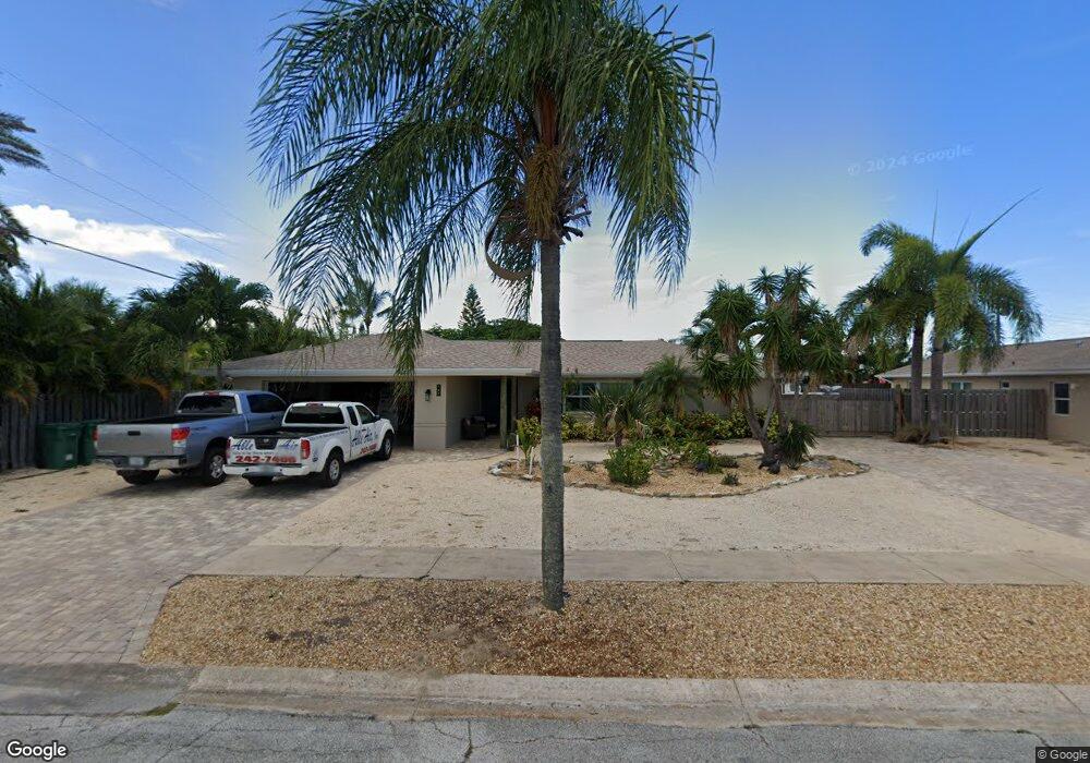
705 Richard St Satellite Beach, FL 32937
Estimated Value: $552,246 - $703,000
3
Beds
2
Baths
1,671
Sq Ft
$355/Sq Ft
Est. Value
About This Home
This home is located at 705 Richard St, Satellite Beach, FL 32937 and is currently estimated at $593,562, approximately $355 per square foot. 705 Richard St is a home located in Brevard County with nearby schools including Ocean Breeze Elementary School, Satellite Senior High School, and DeLaura Middle School.
Ownership History
Date
Name
Owned For
Owner Type
Purchase Details
Closed on
Jul 1, 1999
Sold by
Norman Sally U
Bought by
Brainard Eric B and Brainard Laura A
Current Estimated Value
Home Financials for this Owner
Home Financials are based on the most recent Mortgage that was taken out on this home.
Original Mortgage
$102,000
Outstanding Balance
$27,917
Interest Rate
7.27%
Estimated Equity
$565,645
Purchase Details
Closed on
Apr 11, 1997
Sold by
Brinker George D and Brinker Bonita S
Bought by
Norman Sally U
Home Financials for this Owner
Home Financials are based on the most recent Mortgage that was taken out on this home.
Original Mortgage
$101,400
Interest Rate
7.69%
Create a Home Valuation Report for This Property
The Home Valuation Report is an in-depth analysis detailing your home's value as well as a comparison with similar homes in the area
Home Values in the Area
Average Home Value in this Area
Purchase History
| Date | Buyer | Sale Price | Title Company |
|---|---|---|---|
| Brainard Eric B | $136,000 | -- | |
| Norman Sally U | $126,800 | -- |
Source: Public Records
Mortgage History
| Date | Status | Borrower | Loan Amount |
|---|---|---|---|
| Open | Brainard Eric B | $102,000 | |
| Previous Owner | Norman Sally U | $101,400 |
Source: Public Records
Tax History Compared to Growth
Tax History
| Year | Tax Paid | Tax Assessment Tax Assessment Total Assessment is a certain percentage of the fair market value that is determined by local assessors to be the total taxable value of land and additions on the property. | Land | Improvement |
|---|---|---|---|---|
| 2025 | $2,406 | $163,360 | -- | -- |
| 2024 | $2,362 | $158,760 | -- | -- |
| 2023 | $2,362 | $154,140 | $0 | $0 |
| 2022 | $2,206 | $149,660 | $0 | $0 |
| 2021 | $2,264 | $145,310 | $0 | $0 |
| 2020 | $2,253 | $143,310 | $0 | $0 |
| 2019 | $2,233 | $140,090 | $0 | $0 |
| 2018 | $2,231 | $137,480 | $0 | $0 |
| 2017 | $2,071 | $134,660 | $0 | $0 |
| 2016 | $2,074 | $131,900 | $85,000 | $46,900 |
| 2015 | $2,122 | $130,990 | $75,000 | $55,990 |
| 2014 | $2,123 | $129,950 | $70,000 | $59,950 |
Source: Public Records
Map
Nearby Homes
- 215 S Robert Way
- 730 Hibiscus Dr
- 235 S Marco Way
- 106 Sunrise Ave
- 712 Sea Palm Ln
- 589 Coconut St
- 305 Wimico Dr
- 105 Carissa Dr
- 110 Desoto Pkwy Unit 5
- 155 Elm Ave
- 212 Bella Coola Dr
- 620 Jamaica Blvd
- 550 Temple St
- 43 Anchor Dr
- 120 Anona Place
- 1791 Highway A1a Unit 1304
- 1791 Highway A1a Unit 1104
- 690 Trinidad Ct
- 435 Desoto Pkwy
- 1831 Jimmy Buffett Memorial Hwy Unit 3302
- 705 Rosada St
- 707 Richard St
- 189 Sunrise Ave
- 185 Sunrise Ave
- 195 Sunrise Ave
- 710 Richard St
- 175 Sunrise Ave
- 715 Rosada St
- 709 Richard St
- 165 Sunrise Ave
- 715 Richard St
- 720 Richard St
- 710 Rosada St
- 725 Rosada St
- 205 Sunrise Ave
- 720 Rosada St
- 180 Sunrise Ave
- 710 Verbenia Dr
- 720 Verbenia Dr
- 695 Rosada St