705 River Rd Eliot, ME 03903
South Eliot NeighborhoodEstimated Value: $850,000 - $1,362,250
3
Beds
3
Baths
2,137
Sq Ft
$474/Sq Ft
Est. Value
About This Home
This home is located at 705 River Rd, Eliot, ME 03903 and is currently estimated at $1,013,313, approximately $474 per square foot. 705 River Rd is a home with nearby schools including Marshwood High School and Seacoast Waldorf School.
Ownership History
Date
Name
Owned For
Owner Type
Purchase Details
Closed on
Aug 13, 2025
Sold by
Newson Alan P and Newson Frances L
Bought by
Hanson Megan L and Jardine Lindsay M
Current Estimated Value
Purchase Details
Closed on
Jul 18, 2025
Sold by
Newson Frances L and Newson Alan P
Bought by
Lkc Re Holdings Llc
Purchase Details
Closed on
Jan 11, 2024
Sold by
Newson Frances
Bought by
Newson Frances L and Newson Alan P
Purchase Details
Closed on
Mar 28, 2008
Sold by
Cole Leon
Bought by
Leon Cole Family T and Cole
Create a Home Valuation Report for This Property
The Home Valuation Report is an in-depth analysis detailing your home's value as well as a comparison with similar homes in the area
Home Values in the Area
Average Home Value in this Area
Purchase History
| Date | Buyer | Sale Price | Title Company |
|---|---|---|---|
| Hanson Megan L | -- | -- | |
| Hanson Megan L | -- | -- | |
| Hanson Megan L | -- | -- | |
| Lkc Re Holdings Llc | $225,000 | -- | |
| Lkc Re Holdings Llc | $225,000 | -- | |
| Lkc Re Holdings Llc | $225,000 | -- | |
| Newson Frances L | -- | None Available | |
| Newson Frances L | -- | None Available | |
| Newson Frances L | -- | None Available | |
| Leon Cole Family T | -- | -- | |
| Leon Cole Family T | -- | -- |
Source: Public Records
Tax History Compared to Growth
Tax History
| Year | Tax Paid | Tax Assessment Tax Assessment Total Assessment is a certain percentage of the fair market value that is determined by local assessors to be the total taxable value of land and additions on the property. | Land | Improvement |
|---|---|---|---|---|
| 2024 | $12,344 | $1,041,700 | $414,200 | $627,500 |
| 2023 | $12,091 | $987,000 | $408,300 | $578,700 |
| 2022 | $11,345 | $937,600 | $408,300 | $529,300 |
| 2021 | $3,943 | $292,100 | $292,100 | $0 |
| 2020 | $5,283 | $38,100 | $38,100 | $0 |
| 2019 | $560 | $38,100 | $38,100 | $0 |
| 2018 | $11,351 | $38,100 | $38,100 | $0 |
| 2017 | $545 | $38,100 | $38,100 | $0 |
| 2016 | $535 | $38,100 | $38,100 | $0 |
| 2015 | $533 | $38,100 | $38,100 | $0 |
| 2014 | $526 | $38,100 | $38,100 | $0 |
| 2013 | $502 | $38,100 | $38,100 | $0 |
Source: Public Records
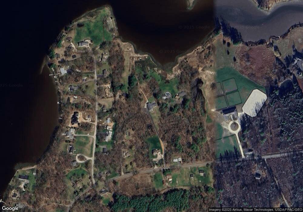
Map
Nearby Homes
- 708 River Rd Unit 2
- 708 River Rd Unit 3
- 25 Shore Ln
- 25 Fosters Dr
- 4 Shore Ln
- 82 Stacy Ln
- 1708 State Rd
- 18 Governor Hill Rd
- Lot 2 Cedar Tbd
- TBD Cedar Rd
- 10 Pasture Hill Dr
- 34 Imperial Dr
- Slip B18 Little Bay
- 25 Heritage Dr
- 19 Heritage Dr
- 16 Imperial Dr
- 35 Marshwood Dr
- 126 Dover Point Rd
- 10 Broadfields Rd
- 93 Old Dover Point Rd Unit A
- 23 Clay Cove Dr
- 28 Siena Way
- 24 Clay Cove Dr
- 38 Riverview Dr
- 30 Riverview Dr
- 44 Riverview Dr
- 26 Riverview Dr
- 13 Riverview Dr
- 14 Riverview Dr
- 50 Riverview Dr
- 22 Riverview Dr
- 701 River Rd
- 18 Riverview Dr
- 709 River Rd
- 37 Riverview Dr
- 31 Riverview Dr
- 25 Riverview Dr
- 177 River Rd
- 638 River Rd
- 717 River Rd