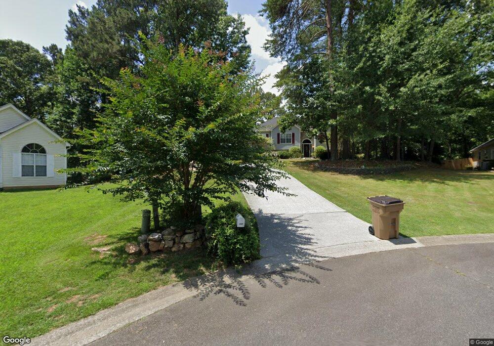
705 Robert Ln Unit 3 Canton, GA 30114
Sutallee NeighborhoodEstimated Value: $392,387 - $436,000
3
Beds
3
Baths
2,038
Sq Ft
$204/Sq Ft
Est. Value
About This Home
This home is located at 705 Robert Ln Unit 3, Canton, GA 30114 and is currently estimated at $414,847, approximately $203 per square foot. 705 Robert Ln Unit 3 is a home located in Cherokee County with nearby schools including J. Knox Elementary School, Teasley Middle School, and Cherokee High School.
Ownership History
Date
Name
Owned For
Owner Type
Purchase Details
Closed on
Aug 10, 2001
Sold by
Guske Suzanne G
Bought by
Westcott Dale A and Westcott Janet L
Current Estimated Value
Home Financials for this Owner
Home Financials are based on the most recent Mortgage that was taken out on this home.
Original Mortgage
$169,847
Outstanding Balance
$63,942
Interest Rate
6.98%
Mortgage Type
VA
Estimated Equity
$350,905
Purchase Details
Closed on
Feb 26, 2001
Sold by
Guske Kim A
Bought by
Guske Suzanne G
Purchase Details
Closed on
Jul 28, 1997
Sold by
E M F Enterprises Inc
Bought by
Guske Kim A and Guske Suzanne G
Home Financials for this Owner
Home Financials are based on the most recent Mortgage that was taken out on this home.
Original Mortgage
$90,000
Interest Rate
7.5%
Mortgage Type
New Conventional
Create a Home Valuation Report for This Property
The Home Valuation Report is an in-depth analysis detailing your home's value as well as a comparison with similar homes in the area
Home Values in the Area
Average Home Value in this Area
Purchase History
| Date | Buyer | Sale Price | Title Company |
|---|---|---|---|
| Westcott Dale A | $164,900 | -- | |
| Guske Suzanne G | -- | -- | |
| Guske Kim A | $137,100 | -- |
Source: Public Records
Mortgage History
| Date | Status | Borrower | Loan Amount |
|---|---|---|---|
| Open | Westcott Dale A | $169,847 | |
| Previous Owner | Guske Kim A | $90,000 |
Source: Public Records
Tax History Compared to Growth
Tax History
| Year | Tax Paid | Tax Assessment Tax Assessment Total Assessment is a certain percentage of the fair market value that is determined by local assessors to be the total taxable value of land and additions on the property. | Land | Improvement |
|---|---|---|---|---|
| 2025 | $773 | $163,648 | $34,800 | $128,848 |
| 2024 | $743 | $139,040 | $28,000 | $111,040 |
| 2023 | $630 | $147,440 | $28,000 | $119,440 |
| 2022 | $737 | $125,680 | $24,000 | $101,680 |
| 2021 | $680 | $93,760 | $18,800 | $74,960 |
| 2020 | $646 | $84,000 | $16,000 | $68,000 |
| 2019 | $640 | $82,280 | $16,000 | $66,280 |
| 2018 | $640 | $79,280 | $14,000 | $65,280 |
| 2017 | $616 | $172,700 | $14,000 | $55,080 |
| 2016 | $624 | $168,700 | $12,800 | $54,680 |
| 2015 | $594 | $156,400 | $12,800 | $49,760 |
| 2014 | $525 | $138,400 | $11,200 | $44,160 |
Source: Public Records
Map
Nearby Homes
- 402 Eileen Cir
- 328 Allatoona Shores Dr
- 6261 Knox Bridge Hwy
- 192 Saxon Ct
- 305 Blake Dr Unit 1
- 551 Harvey Fields Rd
- 339 Westbridge Ln
- 510 Millwood Ct
- 601 Shelter Cove
- 133 Copper Hills Dr
- 202 Van Walk
- 148 Copper Hills Dr
- 710 Bedford Trace Unit 3
- 919 Fields Chapel Rd
- 133 Sweetwater Creek Trail
- 435 Lake Point Trace Unit 3J
- 537 Oriole Farm Trail Unit 4L
- 520 Waterside Ct
- 285 Fields Chapel Rd
- 619 Blackwater Ridge
- 703 Robert Ln Unit 3
- 704 Robert Ln Unit 3
- 702 Robert Ln Unit 3
- 504 Anthony Place Unit 3
- 508 Anthony Place
- 508 Anthony Place Unit 3
- 502 Anthony Place
- 500 Anthony Place Unit 3
- 351 Allatoona Shores Dr Unit 3
- 338 Allatoona Shores Dr Unit 26
- 338 Allatoona Shores Dr
- 513 Anthony Place
- 505 Anthony Place Unit 3
- 401 Eileen Cir
- 503 Anthony Place
- 353 Allatoona Shores Dr
- 507 Anthony Place Unit 45
- 501 Anthony Place Unit 501
- 501 Anthony Place Unit 3
- 501 Anthony Place