Estimated Value: $357,000 - $399,000
About This Home
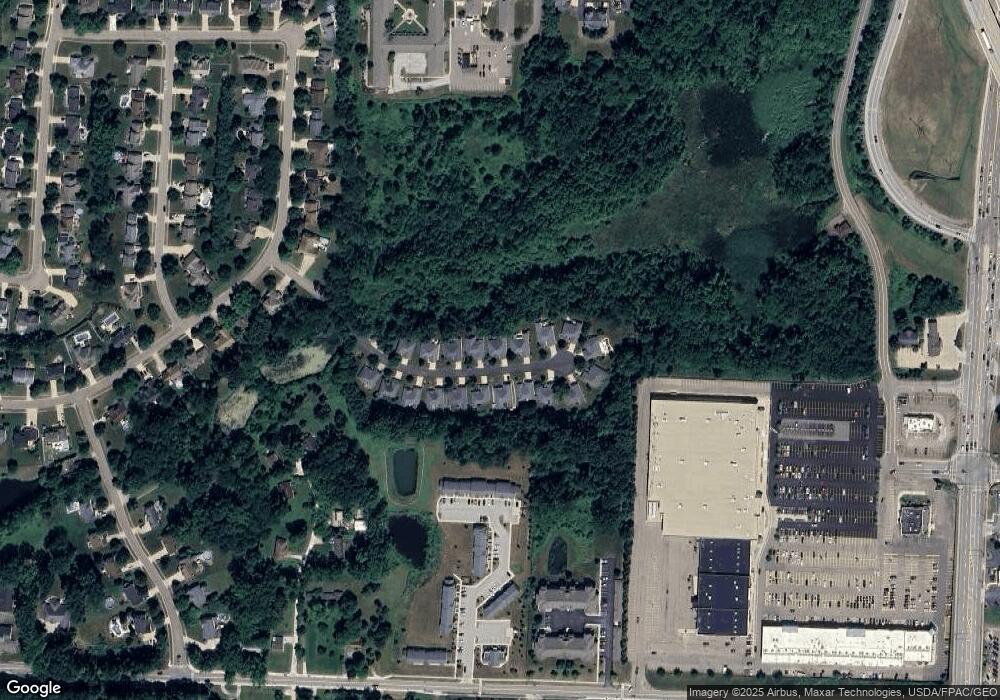
This home is located at 705 Robins Gate, Akron, OH 44319 and is currently estimated at $378,454, approximately $183 per square foot. 705 Robins Gate is a home located in Summit County with nearby schools including Greenwood Elementary School, Green Intermediate Elementary School, and Green Primary School.
Ownership History
We collect this data history from publicly available records. To have your information removed, we recommend requesting removal directly through your county’s website.
Purchase Details
Purchase Details
Home Financials for this Owner
Home Financials are based on the most recent Mortgage that was taken out on this home.Purchase History
We collect this data history from publicly available records. To have your information removed, we recommend requesting removal directly through your county’s website.
| Date | Buyer | Sale Price | Title Company |
|---|---|---|---|
| -- | None Available | ||
| $190,000 | Bond & Associates Title Agen |
Mortgage History
We collect this data history from publicly available records. To have your information removed, we recommend requesting removal directly through your county’s website.
| Date | Status | Borrower | Loan Amount |
|---|---|---|---|
| Open | $85,000 |
Tax History
We collect this data history from publicly available records. To have your information removed, we recommend requesting removal directly through your county’s website.
| Year | Tax Paid | Tax Assessment Tax Assessment Total Assessment is a certain percentage of the fair market value that is determined by local assessors to be the total taxable value of land and additions on the property. | Land | Improvement |
|---|---|---|---|---|
| 2026 | $7,149 | $106,667 | $14,403 | $92,264 |
| 2024 | $4,625 | $106,667 | $14,403 | $92,264 |
| 2023 | $4,625 | $106,667 | $14,403 | $92,264 |
| 2022 | $3,921 | $82,831 | $11,165 | $71,666 |
| 2021 | $3,678 | $82,831 | $11,165 | $71,666 |
| 2020 | $3,608 | $82,840 | $11,170 | $71,670 |
| 2019 | $3,400 | $74,110 | $10,240 | $63,870 |
| 2018 | $3,475 | $74,110 | $10,240 | $63,870 |
| 2017 | $3,087 | $74,110 | $10,240 | $63,870 |
| 2016 | $3,072 | $63,130 | $10,240 | $52,890 |
| 2015 | $3,087 | $63,130 | $10,240 | $52,890 |
| 2014 | $3,067 | $63,130 | $10,240 | $52,890 |
| 2013 | $2,970 | $61,020 | $10,240 | $50,780 |
Map
- 0 Fortuna Dr Unit 5005346
- 0 Fortuna Dr
- 2872 Ironwood Dr
- 0 Bayview Terrace
- 747 Killian Rd
- 581 Woodhaven Dr
- 1257 Muchney Cir
- 1273 Muchney Cir
- 1134 E Turkeyfoot Lake Rd
- 3660 Logan Cir
- 1254 Maxfli Dr
- 3785 S Main St Unit A14
- 3785 S Main St
- 1242 Bexley Cir
- 3063 Dunstone Ave
- 3618 Great Windsor Ln
- 3621 Great Windsor Ln
- 3196 Dunstone Cir
- 3624 Great Windsor Ln
- 3639 Great Windsor Ln
- 694 Robins Gate
- 706 Robins Gate
- 682 Robins Gate
- 718 Robins Gate
- 670 Robins Gate
- 693 Robins Gate
- 681 Robins Gate
- 717 Robins Gate
- 722 Robins Gate
- 658 Robins Gate
- 669 Robins Gate
- 723 Robins Gate
- 647 Robins Gate
- 646 Robins Gate
- 734 Robins Gate
- 634 Robins Gate
- 735 Robins Gate
- 746 Robins Gate
- 747 Robins Gate
- 3457 Knofl Dr
Ask me questions while you tour the home.