Estimated Value: $323,000 - $530,000
--
Bed
--
Bath
1,622
Sq Ft
$265/Sq Ft
Est. Value
About This Home
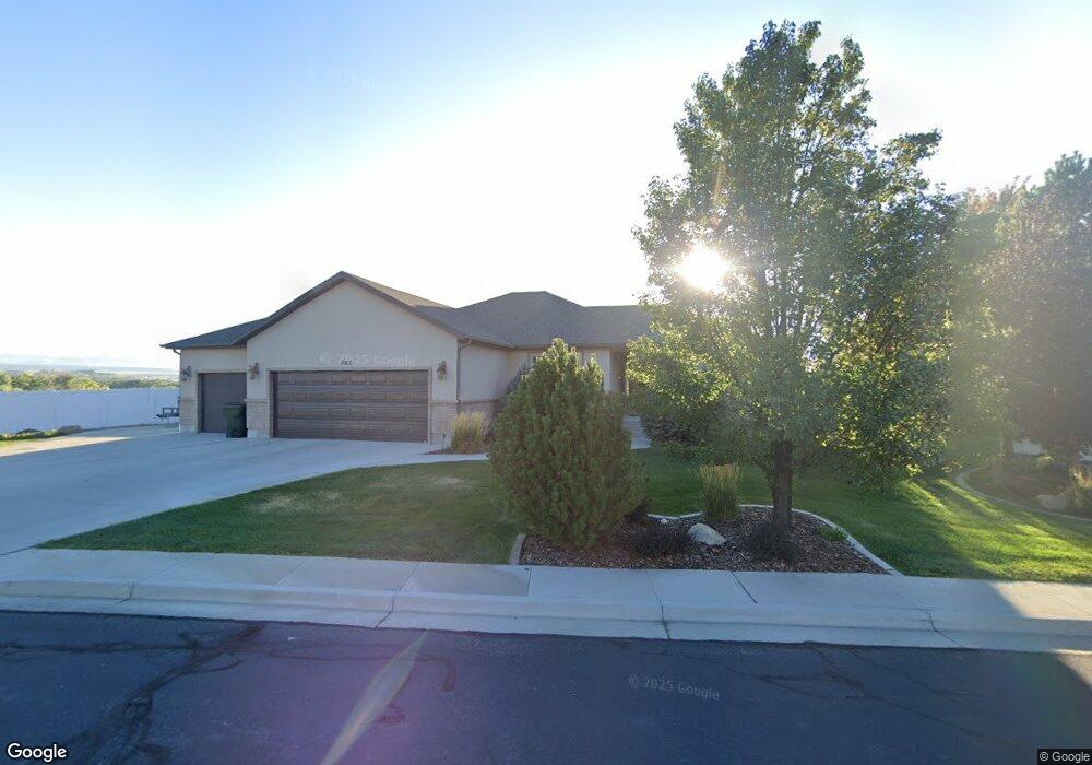
This home is located at 705 S 600 W, Price, UT 84501 and is currently estimated at $429,760, approximately $264 per square foot. 705 S 600 W is a home located in Carbon County with nearby schools including Creekview School, Mont Harmon Junior High School, and Carbon High School.
Ownership History
Date
Name
Owned For
Owner Type
Purchase Details
Closed on
Feb 11, 2009
Sold by
Bogdin Leland and Hales Brenda
Bought by
Bogdin Leland and Bogdin Brenda
Current Estimated Value
Home Financials for this Owner
Home Financials are based on the most recent Mortgage that was taken out on this home.
Original Mortgage
$238,000
Outstanding Balance
$148,990
Interest Rate
4.92%
Mortgage Type
New Conventional
Estimated Equity
$280,770
Purchase Details
Closed on
Jul 2, 2008
Sold by
Casa Bella Enterprises Inc
Bought by
Bogdin Leland and Hales Brenda
Home Financials for this Owner
Home Financials are based on the most recent Mortgage that was taken out on this home.
Original Mortgage
$232,000
Interest Rate
6.07%
Mortgage Type
New Conventional
Purchase Details
Closed on
Oct 31, 2007
Sold by
Poloni Th and Poloni Lynda Z
Bought by
Casa Bella Enterprises Inc
Create a Home Valuation Report for This Property
The Home Valuation Report is an in-depth analysis detailing your home's value as well as a comparison with similar homes in the area
Home Values in the Area
Average Home Value in this Area
Purchase History
| Date | Buyer | Sale Price | Title Company |
|---|---|---|---|
| Bogdin Leland | -- | Professional Title Services | |
| Bogdin Leland | -- | Professional Title Services | |
| Casa Bella Enterprises Inc | -- | Professional Title Services |
Source: Public Records
Mortgage History
| Date | Status | Borrower | Loan Amount |
|---|---|---|---|
| Open | Bogdin Leland | $238,000 | |
| Closed | Bogdin Leland | $232,000 |
Source: Public Records
Tax History Compared to Growth
Tax History
| Year | Tax Paid | Tax Assessment Tax Assessment Total Assessment is a certain percentage of the fair market value that is determined by local assessors to be the total taxable value of land and additions on the property. | Land | Improvement |
|---|---|---|---|---|
| 2024 | $3,335 | $277,685 | $13,915 | $263,770 |
| 2023 | $3,254 | $288,912 | $35,494 | $253,418 |
| 2022 | $3,386 | $269,707 | $29,511 | $240,196 |
| 2021 | $2,925 | $361,553 | $45,089 | $316,464 |
| 2020 | $2,874 | $178,285 | $0 | $0 |
| 2019 | $2,563 | $166,794 | $0 | $0 |
| 2018 | $2,416 | $160,361 | $0 | $0 |
| 2017 | $2,386 | $160,361 | $0 | $0 |
| 2016 | $2,153 | $160,361 | $0 | $0 |
| 2015 | $2,153 | $160,361 | $0 | $0 |
| 2014 | $2,131 | $159,855 | $0 | $0 |
| 2013 | $2,147 | $159,501 | $0 | $0 |
Source: Public Records
Map
Nearby Homes
- 7700 Us Highway 6
- 495 S Fairgrounds Rd
- 280 W 500 S
- 260 W 500 S
- 1101 S Carbon Ave Unit 75
- 1101 S Carbon Ave
- 1101 S Carbon Ave Unit 70
- 1101 S Carbon Ave Unit 39
- 1101 S Carbon Ave Unit 109
- 1101 S Carbon Ave Unit 29
- 454 Rose Ave
- 410 Rose Ave
- 328 S Carbon Ave
- 806 S 300 E
- 558 E 200 S
- 245 S 200 E
- 806 S 400 E
- 270 E Riverside Dr
- 2866 S 150 E
- 144 S 300 E