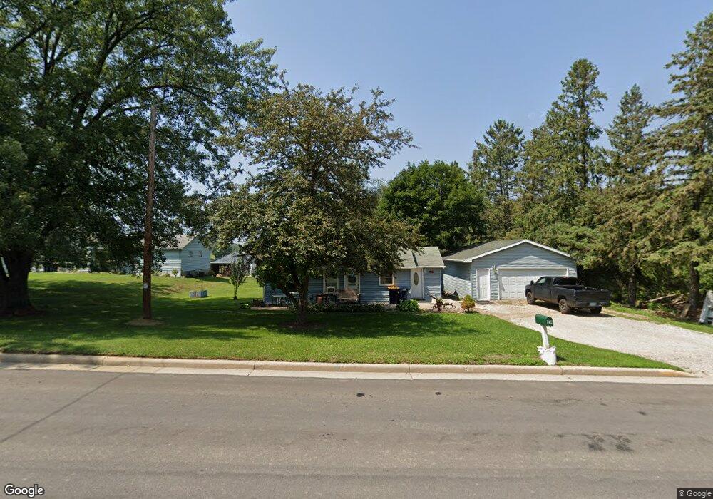
705 S Maple St Ellsworth, WI 54011
Estimated Value: $187,000 - $236,000
2
Beds
1
Bath
--
Sq Ft
17,424
Sq Ft Lot
About This Home
This home is located at 705 S Maple St, Ellsworth, WI 54011 and is currently estimated at $209,856. 705 S Maple St is a home located in Pierce County with nearby schools including Ellsworth High School.
Ownership History
Date
Name
Owned For
Owner Type
Purchase Details
Closed on
Apr 30, 2019
Sold by
Frenton Donald L and Fenton Sharon K
Bought by
Fenton Donald L
Current Estimated Value
Purchase Details
Closed on
Oct 31, 2005
Sold by
Girdeen Roger W and Girdeen Alvina M
Bought by
Fenton Donald L and Fenton Sharon K
Home Financials for this Owner
Home Financials are based on the most recent Mortgage that was taken out on this home.
Original Mortgage
$84,000
Interest Rate
10.65%
Mortgage Type
Adjustable Rate Mortgage/ARM
Create a Home Valuation Report for This Property
The Home Valuation Report is an in-depth analysis detailing your home's value as well as a comparison with similar homes in the area
Home Values in the Area
Average Home Value in this Area
Purchase History
| Date | Buyer | Sale Price | Title Company |
|---|---|---|---|
| Fenton Donald L | -- | None Available | |
| Fenton Donald L | $84,000 | None Available |
Source: Public Records
Mortgage History
| Date | Status | Borrower | Loan Amount |
|---|---|---|---|
| Previous Owner | Fenton Donald L | $84,000 |
Source: Public Records
Tax History
| Year | Tax Paid | Tax Assessment Tax Assessment Total Assessment is a certain percentage of the fair market value that is determined by local assessors to be the total taxable value of land and additions on the property. | Land | Improvement |
|---|---|---|---|---|
| 2025 | $30 | $150,200 | $42,000 | $108,200 |
| 2024 | $2,854 | $150,200 | $42,000 | $108,200 |
| 2023 | $2,647 | $150,200 | $42,000 | $108,200 |
| 2022 | $2,140 | $150,200 | $42,000 | $108,200 |
| 2021 | $1,865 | $91,400 | $37,300 | $54,100 |
| 2020 | $1,915 | $91,400 | $37,300 | $54,100 |
| 2019 | $1,842 | $91,400 | $37,300 | $54,100 |
| 2018 | $1,889 | $91,400 | $37,300 | $54,100 |
| 2017 | $1,934 | $91,400 | $37,300 | $54,100 |
| 2016 | $1,904 | $91,400 | $37,300 | $54,100 |
| 2015 | $1,783 | $91,400 | $37,300 | $54,100 |
| 2014 | $1,660 | $91,400 | $37,300 | $54,100 |
| 2013 | $1,814 | $91,400 | $37,300 | $54,100 |
Source: Public Records
Map
Nearby Homes
- 195 W Humble Ave
- 236 S Chestnut St
- 232 S Chestnut St
- 234 S Chestnut St
- 230 S Chestnut St
- N5129 732nd St
- N5170 732nd St
- N5190 732nd St
- 641 W Main St
- N5200 732nd St
- N5111 738th St
- 137 N Oak St
- N5161 738th St
- 118 Bay St
- W7429 510th Ave
- 314 N Maple St
- 166 E Main St
- 158 W Summit Ave
- 332 Pleasant Ave
- 450 W Cairns St Unit D
- 713 S Maple St
- 630 S Maple St
- 712 S Maple St
- 723 S Maple St
- 625 S Maple St
- 624 S Maple St
- 472 High Point Dr
- 478 High Pointe Dr
- 472 High Pointe Dr
- 472 472 W High Point Dr
- 478 High Point Dr
- 484 High Pointe Dr
- 490 High Pointe Dr
- 466 High Point Dr
- 466 High Pointe Dr
- 762 S Maple St
- 498 High Pointe Dr
- 460 High Point Dr
- 460 High Pointe Dr
- 460 High Pointe Dr
Your Personal Tour Guide
Ask me questions while you tour the home.