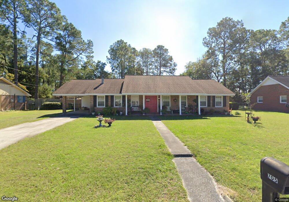
705 Sargeant St Waycross, GA 31501
Estimated Value: $164,000 - $201,000
3
Beds
2
Baths
1,609
Sq Ft
$113/Sq Ft
Est. Value
About This Home
This home is located at 705 Sargeant St, Waycross, GA 31501 and is currently estimated at $182,094, approximately $113 per square foot. 705 Sargeant St is a home located in Ware County with nearby schools including Center Elementary School, Waycross Middle School, and Ware County High School.
Ownership History
Date
Name
Owned For
Owner Type
Purchase Details
Closed on
Oct 19, 2015
Sold by
Handley Amy T
Bought by
Farmers & Merchants Bank
Current Estimated Value
Purchase Details
Closed on
Jul 29, 2015
Sold by
Cason Steve Randall
Bought by
King Wilbert and King Barbara
Home Financials for this Owner
Home Financials are based on the most recent Mortgage that was taken out on this home.
Original Mortgage
$85,227
Interest Rate
4.75%
Mortgage Type
FHA
Purchase Details
Closed on
Nov 13, 1993
Bought by
Cason Steve R
Purchase Details
Closed on
Nov 27, 1989
Bought by
Cason Willis O and Cason Hazel
Create a Home Valuation Report for This Property
The Home Valuation Report is an in-depth analysis detailing your home's value as well as a comparison with similar homes in the area
Home Values in the Area
Average Home Value in this Area
Purchase History
| Date | Buyer | Sale Price | Title Company |
|---|---|---|---|
| Farmers & Merchants Bank | -- | -- | |
| King Wilbert | $86,800 | -- | |
| Cason Steve R | -- | -- | |
| Cason Willis O | $47,900 | -- |
Source: Public Records
Mortgage History
| Date | Status | Borrower | Loan Amount |
|---|---|---|---|
| Previous Owner | King Wilbert | $85,227 |
Source: Public Records
Tax History Compared to Growth
Tax History
| Year | Tax Paid | Tax Assessment Tax Assessment Total Assessment is a certain percentage of the fair market value that is determined by local assessors to be the total taxable value of land and additions on the property. | Land | Improvement |
|---|---|---|---|---|
| 2024 | -- | $73,869 | $2,520 | $71,349 |
| 2023 | $0 | $57,007 | $1,613 | $55,394 |
| 2022 | $2,272 | $57,007 | $1,613 | $55,394 |
| 2021 | $2,172 | $50,261 | $1,613 | $48,648 |
| 2020 | $1,735 | $39,809 | $1,613 | $38,196 |
| 2019 | $1,621 | $36,673 | $1,613 | $35,060 |
| 2018 | $0 | $35,467 | $1,613 | $33,854 |
| 2017 | -- | $35,467 | $1,613 | $33,854 |
| 2016 | -- | $35,467 | $1,613 | $33,854 |
| 2015 | $1,557 | $35,467 | $1,613 | $33,854 |
| 2014 | $1,556 | $35,467 | $1,613 | $33,854 |
| 2013 | -- | $35,467 | $1,612 | $33,854 |
Source: Public Records
Map
Nearby Homes
- 0 Beville St
- 1504 Habersham Dr
- 1301 Riverside Ave
- .22 Alice St
- 511 Riverside Dr
- 2022 Pioneer St
- 301 Riverside Dr
- 1405 Grove Ave
- 515 Summit St
- 2120 Tebeau St
- 00 Pineview Dr
- 0 Pineview Dr
- 310 Butler St
- 2202 Pioneer St
- 1408 Bethune St
- 812 Effie St
- 1219 Clough St
- 807 College St
- 1701 Satilla Blvd
- 2509 Tebeau St
- 707 Sargeant St
- 703 Sargeant St
- 708 Spratt St
- 706 Spratt St
- 704 Sargeant St
- 712 Spratt St
- 702 Sargeant St
- 706 Sargeant St
- 701 Sargeant St
- 700 Spratt St
- 708 Sargeant St
- 700 Sargeant St
- 806 Riverside Ave
- 806 Riverside Ave
- 705 Beville St
- 611 Preston St
- 703 Beville St
- 707 Beville St
- 718 Spratt St
- 608 Preston St