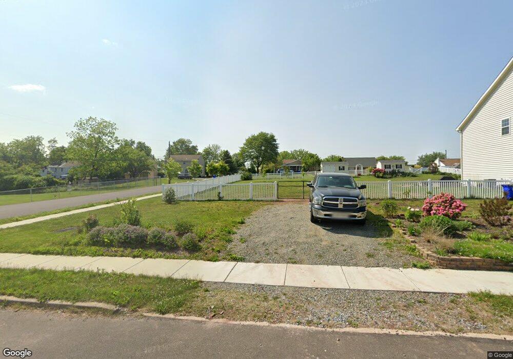
705 Sheridan St Pottstown, PA 19464
Washington-Rosedale NeighborhoodEstimated Value: $14,017 - $331,000
--
Bed
--
Bath
--
Sq Ft
5,663
Sq Ft Lot
About This Home
This home is located at 705 Sheridan St, Pottstown, PA 19464 and is currently estimated at $181,504. 705 Sheridan St is a home located in Montgomery County with nearby schools including Pottstown Middle School, Pottstown Senior High School, and Saint Aloysius Parish School.
Ownership History
Date
Name
Owned For
Owner Type
Purchase Details
Closed on
May 23, 2019
Sold by
Montgomery County Sheriff
Bought by
Sovia Elizabeth Meyer
Current Estimated Value
Purchase Details
Closed on
Oct 19, 2018
Sold by
Corley Derrick
Bought by
Aad Properties Llc
Purchase Details
Closed on
Nov 28, 2017
Sold by
Tax Claim Bureau
Bought by
Corley Derrick
Purchase Details
Closed on
Jul 19, 2006
Sold by
Boro Pottstown
Bought by
Aad Prop Llc
Purchase Details
Closed on
Jun 12, 2003
Sold by
Gensemer Donald J and Gensemer Donald J
Bought by
Aad Prop Llc
Create a Home Valuation Report for This Property
The Home Valuation Report is an in-depth analysis detailing your home's value as well as a comparison with similar homes in the area
Home Values in the Area
Average Home Value in this Area
Purchase History
| Date | Buyer | Sale Price | Title Company |
|---|---|---|---|
| Sovia Elizabeth Meyer | $30,000 | None Available | |
| Aad Properties Llc | $7,350 | None Available | |
| Corley Derrick | $6,938 | -- | |
| Aad Prop Llc | $1,350 | None Available | |
| Aad Prop Llc | $38,000 | -- |
Source: Public Records
Tax History Compared to Growth
Tax History
| Year | Tax Paid | Tax Assessment Tax Assessment Total Assessment is a certain percentage of the fair market value that is determined by local assessors to be the total taxable value of land and additions on the property. | Land | Improvement |
|---|---|---|---|---|
| 2025 | $229 | $3,750 | -- | -- |
| 2024 | $229 | $3,750 | -- | -- |
| 2023 | $226 | $3,750 | $0 | $0 |
| 2022 | $226 | $3,750 | $0 | $0 |
| 2021 | $223 | $3,750 | $0 | $0 |
| 2020 | $219 | $3,750 | $0 | $0 |
| 2019 | $214 | $3,750 | $0 | $0 |
| 2018 | $152 | $3,750 | $0 | $0 |
| 2017 | $200 | $3,750 | $0 | $0 |
| 2016 | $199 | $3,750 | $0 | $0 |
| 2015 | $199 | $3,750 | $0 | $0 |
| 2014 | $198 | $3,750 | $0 | $0 |
Source: Public Records
Map
Nearby Homes
- 725 Lincoln Ave
- 648 Lincoln Ave
- 828 N Washington St
- 890 N Warren St
- 570 Jefferson Ave
- 809 N Franklin St
- 813 N Franklin St
- 651 Walnut St
- 535 N Franklin St
- 627 Chestnut St
- 506 Lincoln Ave
- 511 Beech St
- 564 Walnut St
- 407 Jefferson Ave
- 659 Beechwood Ave
- 406 Jefferson Ave
- 792-794 Spruce St
- 794 Spruce St
- 792 Spruce St
- 1008 Beech St