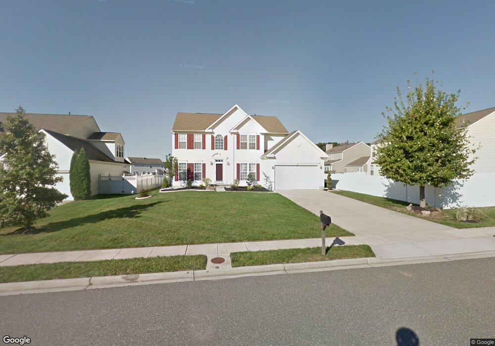
705 Sherwood Dr Williamstown, NJ 08094
Estimated Value: $518,284 - $601,000
4
Beds
3
Baths
3,100
Sq Ft
$178/Sq Ft
Est. Value
About This Home
This home is located at 705 Sherwood Dr, Williamstown, NJ 08094 and is currently estimated at $551,571, approximately $177 per square foot. 705 Sherwood Dr is a home located in Gloucester County with nearby schools including Williamstown High School, St. Mary School, and Finest of the Wheat Christian.
Ownership History
Date
Name
Owned For
Owner Type
Purchase Details
Closed on
Mar 12, 2010
Sold by
Coney Tyone J and Coney Amy J
Bought by
Grisi John B and Grisi Linda A
Current Estimated Value
Purchase Details
Closed on
Feb 24, 2003
Sold by
Nvr Inc
Bought by
Coney Tyrone J and Coney Amy J
Home Financials for this Owner
Home Financials are based on the most recent Mortgage that was taken out on this home.
Original Mortgage
$260,350
Interest Rate
5.9%
Purchase Details
Closed on
Nov 4, 2002
Sold by
K Hovnanian Venture Llc
Bought by
Nvr Inc
Create a Home Valuation Report for This Property
The Home Valuation Report is an in-depth analysis detailing your home's value as well as a comparison with similar homes in the area
Home Values in the Area
Average Home Value in this Area
Purchase History
| Date | Buyer | Sale Price | Title Company |
|---|---|---|---|
| Grisi John B | $250,000 | Multiple | |
| Coney Tyrone J | $277,015 | Legacy Title Agency | |
| Nvr Inc | $57,700 | -- |
Source: Public Records
Mortgage History
| Date | Status | Borrower | Loan Amount |
|---|---|---|---|
| Previous Owner | Coney Tyrone J | $260,350 |
Source: Public Records
Tax History Compared to Growth
Tax History
| Year | Tax Paid | Tax Assessment Tax Assessment Total Assessment is a certain percentage of the fair market value that is determined by local assessors to be the total taxable value of land and additions on the property. | Land | Improvement |
|---|---|---|---|---|
| 2025 | $10,305 | $281,400 | $49,200 | $232,200 |
| 2024 | $10,229 | $281,400 | $49,200 | $232,200 |
| 2023 | $10,229 | $281,400 | $49,200 | $232,200 |
| 2022 | $10,181 | $281,400 | $49,200 | $232,200 |
| 2021 | $10,039 | $281,400 | $49,200 | $232,200 |
| 2020 | $10,235 | $281,400 | $49,200 | $232,200 |
| 2019 | $10,173 | $281,400 | $49,200 | $232,200 |
| 2018 | $10,007 | $281,400 | $49,200 | $232,200 |
| 2017 | $9,620 | $271,600 | $68,200 | $203,400 |
| 2016 | $9,498 | $271,600 | $68,200 | $203,400 |
| 2015 | $9,226 | $271,600 | $68,200 | $203,400 |
| 2014 | $8,957 | $271,600 | $68,200 | $203,400 |
Source: Public Records
Map
Nearby Homes
- 640 Ironwood Dr
- 549 Maidstone Dr
- 647 Chestnut St
- 943 Sykesville Rd
- 30 Tool Ln
- 1017 Micawber Dr
- 304 Thackeray Ln
- 1008 London Cir
- 308 Oak St
- 934 N Beecham Rd
- 632 Clayton Rd
- 221 Oak St
- 112 Shisler Ave
- 1011 S Beecham Rd
- 520 S Main St
- 18 Bodine Ave
- 354 S Main St
- 959 S Main St
- 1361 Black Horse Pike
- 13 S Main St
- 709 Sherwood Dr
- 514 Maidstone Dr
- 518 Maidstone Dr
- 713 Sherwood Dr
- 522 Maidstone Dr
- 704 Sherwood Dr
- 708 Sherwood Dr
- 700 Sherwood Dr
- 717 Sherwood Dr
- 712 Meade Ct
- 526 Maidstone Dr
- 712 Sherwood Dr
- 708 Meade Ct
- 716 Sherwood Dr
- 513 Maidstone Dr
- 704 Meade Ct
- 530 Maidstone Dr
- 509 Maidstone Dr
- 721 Sherwood Dr
- 601 Wagner Ct