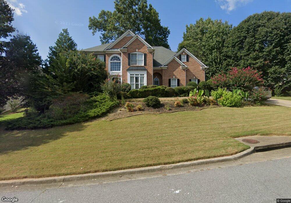
705 Silver Peak Ct Suwanee, GA 30024
Estimated Value: $675,000 - $761,000
4
Beds
3
Baths
2,880
Sq Ft
$252/Sq Ft
Est. Value
About This Home
This home is located at 705 Silver Peak Ct, Suwanee, GA 30024 and is currently estimated at $725,666, approximately $251 per square foot. 705 Silver Peak Ct is a home located in Gwinnett County with nearby schools including Level Creek Elementary School, North Gwinnett Middle School, and North Gwinnett High School.
Ownership History
Date
Name
Owned For
Owner Type
Purchase Details
Closed on
Apr 21, 2008
Sold by
Marconi Gladys
Bought by
Yi Mun W
Current Estimated Value
Home Financials for this Owner
Home Financials are based on the most recent Mortgage that was taken out on this home.
Original Mortgage
$240,000
Outstanding Balance
$150,157
Interest Rate
5.82%
Mortgage Type
New Conventional
Estimated Equity
$575,509
Purchase Details
Closed on
Jul 31, 1998
Sold by
Rozelle Russell N and Rozelle Rhae
Bought by
Marconi Vincent J and Marconi Gladys
Home Financials for this Owner
Home Financials are based on the most recent Mortgage that was taken out on this home.
Original Mortgage
$204,500
Interest Rate
6.96%
Mortgage Type
New Conventional
Purchase Details
Closed on
Apr 17, 1996
Sold by
Sharp Dev Inc
Bought by
Rozelle Russell N Rhae
Create a Home Valuation Report for This Property
The Home Valuation Report is an in-depth analysis detailing your home's value as well as a comparison with similar homes in the area
Home Values in the Area
Average Home Value in this Area
Purchase History
| Date | Buyer | Sale Price | Title Company |
|---|---|---|---|
| Yi Mun W | $317,000 | -- | |
| Marconi Vincent J | $213,000 | -- | |
| Rozelle Russell N Rhae | $208,000 | -- |
Source: Public Records
Mortgage History
| Date | Status | Borrower | Loan Amount |
|---|---|---|---|
| Open | Yi Mun W | $240,000 | |
| Previous Owner | Marconi Vincent J | $204,500 | |
| Closed | Rozelle Russell N Rhae | $0 |
Source: Public Records
Tax History Compared to Growth
Tax History
| Year | Tax Paid | Tax Assessment Tax Assessment Total Assessment is a certain percentage of the fair market value that is determined by local assessors to be the total taxable value of land and additions on the property. | Land | Improvement |
|---|---|---|---|---|
| 2025 | $7,261 | $296,520 | $44,080 | $252,440 |
| 2024 | $6,745 | $262,080 | $39,200 | $222,880 |
| 2023 | $6,745 | $262,080 | $39,200 | $222,880 |
| 2022 | $7,415 | $233,280 | $39,200 | $194,080 |
| 2021 | $6,198 | $184,200 | $29,440 | $154,760 |
| 2020 | $5,753 | $165,720 | $29,440 | $136,280 |
| 2019 | $4,758 | $158,000 | $35,600 | $122,400 |
| 2018 | $4,284 | $135,120 | $32,400 | $102,720 |
| 2016 | $4,036 | $122,060 | $27,540 | $94,520 |
| 2015 | $4,226 | $126,080 | $27,000 | $99,080 |
| 2014 | $4,254 | $126,080 | $27,000 | $99,080 |
Source: Public Records
Map
Nearby Homes
- 1350 Peachtree Industrial Blvd
- 837 Village Manor Place
- 858 Red Rock Ct
- 780 Village Field Ct
- 4282 Goldfield Trace Unit 4
- 4544 Silver Peak Pkwy
- 655 Grove Manor Ct
- 4339 Lansfaire Terrace Unit 4
- 1116 Bartlett Trace
- 645 Stonepark Ln
- 4416 Village Field Place
- 3880 Brushy Creek Way
- 671 Village Field Ct
- 1621 Wellborn Walk
- 4422 Grove Field Park
- 733 Vinebrook Ln Unit 3
- 4335 Landover Way Unit 3
- 4265 Lansmoore Crossing
- 725 Silver Peak Ct Unit 14
- 725 Silver Peak Ct Unit 1
- 695 Silver Peak Ct Unit 1
- 4279 Silver Peak Pkwy
- 700 Silver Peak Ct
- 710 Silver Peak Ct
- 720 Silver Peak Ct
- 4229 Silver Peak Pkwy
- 4289 Silver Peak Pkwy
- 690 Silver Peak Ct Unit 1
- 685 Silver Peak Ct
- 4264 Silver Peak Pkwy
- 680 Silver Peak Ct Unit 1
- 4309 Silver Peak Pkwy Unit 1
- 4254 Silver Peak Pkwy
- 4274 Silver Peak Pkwy Unit 1
- 675 Silver Peak Ct Unit 1
- 0 Silver Peak Pkwy Unit 8624198
- 0 Silver Peak Pkwy Unit 8614046
- 0 Silver Peak Pkwy Unit 7209854