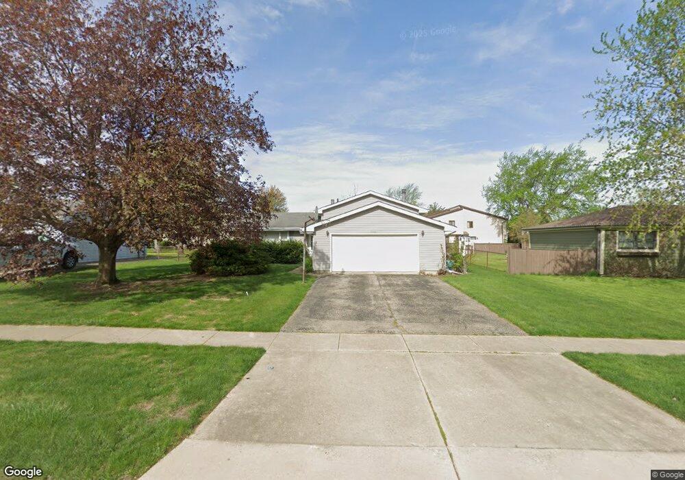
705 Southgate Rd New Lenox, IL 60451
Estimated Value: $363,064 - $392,000
--
Bed
--
Bath
--
Sq Ft
10,454
Sq Ft Lot
About This Home
This home is located at 705 Southgate Rd, New Lenox, IL 60451 and is currently estimated at $380,766. 705 Southgate Rd is a home located in Will County with nearby schools including Bentley Elementary School, Arnold J Tyler School, and Alex M Martino Jr High School.
Ownership History
Date
Name
Owned For
Owner Type
Purchase Details
Closed on
Jul 12, 2001
Sold by
Wold Gilbert N and Wold Patricia A
Bought by
Ducharne Paul B
Current Estimated Value
Home Financials for this Owner
Home Financials are based on the most recent Mortgage that was taken out on this home.
Original Mortgage
$164,575
Outstanding Balance
$63,792
Interest Rate
7.22%
Mortgage Type
FHA
Estimated Equity
$316,974
Create a Home Valuation Report for This Property
The Home Valuation Report is an in-depth analysis detailing your home's value as well as a comparison with similar homes in the area
Home Values in the Area
Average Home Value in this Area
Purchase History
| Date | Buyer | Sale Price | Title Company |
|---|---|---|---|
| Ducharne Paul B | $167,000 | Chicago Title Insurance Co |
Source: Public Records
Mortgage History
| Date | Status | Borrower | Loan Amount |
|---|---|---|---|
| Open | Ducharne Paul B | $164,575 |
Source: Public Records
Tax History Compared to Growth
Tax History
| Year | Tax Paid | Tax Assessment Tax Assessment Total Assessment is a certain percentage of the fair market value that is determined by local assessors to be the total taxable value of land and additions on the property. | Land | Improvement |
|---|---|---|---|---|
| 2024 | $8,665 | $114,776 | $33,360 | $81,416 |
| 2023 | $8,665 | $104,627 | $30,410 | $74,217 |
| 2022 | $7,821 | $96,386 | $28,015 | $68,371 |
| 2021 | $7,419 | $90,648 | $26,347 | $64,301 |
| 2020 | $7,204 | $87,414 | $25,407 | $62,007 |
| 2019 | $6,892 | $84,703 | $24,619 | $60,084 |
| 2018 | $6,729 | $81,783 | $23,770 | $58,013 |
| 2017 | $6,391 | $79,432 | $23,087 | $56,345 |
| 2016 | $6,202 | $77,306 | $22,469 | $54,837 |
| 2015 | $5,971 | $74,873 | $21,762 | $53,111 |
| 2014 | $5,971 | $73,948 | $21,493 | $52,455 |
| 2013 | $5,971 | $74,945 | $21,783 | $53,162 |
Source: Public Records
Map
Nearby Homes
- 808 Stonegate Rd
- 718 S Prairie Rd
- 105 Roy St
- 235 Roberts Rd
- 00 NE Corner Cherry Hill Road and Moss Lane Rd
- 1046 Schoolgate Rd Unit 3
- 203 Tonell Ave
- 920 Barnside Rd
- 315 S Pine St
- 1000 S Cedar Rd
- 328 E Lincoln Hwy
- 329 Hancock Dr
- 449 Somerset Ln Unit 1
- 513 Somerset Ln
- 574 Prairie Crossing Dr
- 416 Manor Ct Unit B
- 1017 E Lincoln Hwy
- 524 Waverly Ct Unit D
- 218 Manor Dr Unit A
- 709 Young Dr
- 709 Southgate Rd
- 304 E Woodlawn Rd
- 218 E Woodlawn Rd Unit 2
- 218 E Woodlawn Rd Unit 218
- 242 E Woodlawn Rd Unit 13
- 242 E Woodlawn Rd Unit 242
- 220 E Woodlawn Rd Unit 3
- 246 E Woodlawn Rd Unit 16
- 216 E Woodlawn Rd Unit 1
- 240 E Woodlawn Rd Unit 14
- 244 E Woodlawn Rd
- 244 E Woodlawn Rd Unit 244
- 222 E Woodlawn Rd
- 713 Southgate Rd
- 266 E Woodlawn Rd
- 264 E Woodlawn Rd Unit 26
- 704 Southgate Rd
- 708 Southgate Rd
- 308 E Woodlawn Rd Unit 2
- 270 E Woodlawn Rd