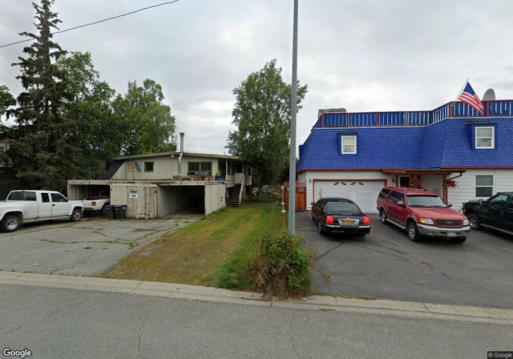
705 W 20th Ave Anchorage, AK 99503
North Star NeighborhoodEstimated Value: $262,000 - $471,000
4
Beds
2
Baths
1,102
Sq Ft
$345/Sq Ft
Est. Value
About This Home
This home is located at 705 W 20th Ave, Anchorage, AK 99503 and is currently estimated at $380,665, approximately $345 per square foot. 705 W 20th Ave is a home located in Anchorage Municipality with nearby schools including North Star Elementary School, Central Middle School of Science, and West High School.
Ownership History
Date
Name
Owned For
Owner Type
Purchase Details
Closed on
Feb 29, 2024
Sold by
Lamb Thomas and Miller Carrie Whitney
Bought by
Cox Rusty and Cox Joey
Current Estimated Value
Home Financials for this Owner
Home Financials are based on the most recent Mortgage that was taken out on this home.
Original Mortgage
$25,500
Outstanding Balance
$25,049
Interest Rate
6.6%
Mortgage Type
Seller Take Back
Estimated Equity
$355,616
Purchase Details
Closed on
Nov 30, 2021
Sold by
Habermann Donna Marie
Bought by
Lambert Thomas C
Create a Home Valuation Report for This Property
The Home Valuation Report is an in-depth analysis detailing your home's value as well as a comparison with similar homes in the area
Home Values in the Area
Average Home Value in this Area
Purchase History
| Date | Buyer | Sale Price | Title Company |
|---|---|---|---|
| Cox Rusty | -- | None Listed On Document | |
| Cox Rusty | -- | None Listed On Document | |
| Lambert Thomas C | $70,000 | -- |
Source: Public Records
Mortgage History
| Date | Status | Borrower | Loan Amount |
|---|---|---|---|
| Open | Cox Rusty | $25,500 | |
| Closed | Cox Rusty | $25,500 |
Source: Public Records
Tax History Compared to Growth
Tax History
| Year | Tax Paid | Tax Assessment Tax Assessment Total Assessment is a certain percentage of the fair market value that is determined by local assessors to be the total taxable value of land and additions on the property. | Land | Improvement |
|---|---|---|---|---|
| 2025 | $1,642 | $353,300 | $115,900 | $237,400 |
| 2024 | $1,642 | $326,700 | $115,900 | $210,800 |
| 2023 | $1,386 | $306,400 | $115,900 | $190,500 |
| 2022 | $6,084 | $361,300 | $115,900 | $245,400 |
| 2021 | $6,267 | $347,800 | $115,900 | $231,900 |
| 2020 | $5,993 | $352,500 | $115,900 | $236,600 |
| 2019 | $5,847 | $357,400 | $115,900 | $241,500 |
| 2018 | $5,845 | $356,400 | $119,900 | $236,500 |
| 2017 | $5,564 | $355,300 | $113,700 | $241,600 |
| 2016 | $4,385 | $358,300 | $113,700 | $244,600 |
| 2015 | $4,385 | $326,500 | $103,800 | $222,700 |
| 2014 | $4,385 | $318,000 | $100,700 | $217,300 |
Source: Public Records
Map
Nearby Homes
- 827 W 20th Ave
- 710 W 16th Ave
- 1024 Potlatch Cir Unit 23
- 2140 Dawson St
- 1001 W Fireweed Ln
- 1945 Spenard Rd
- 207 W 22nd Ave Unit 304
- 1113 W Fireweed Ln Unit 505
- 1113 W Fireweed Ln Unit 204
- 1310 G St
- 1016 W 25th Ave
- 201 W 24th Ave
- 2607 Arctic Blvd
- 1200 I St Unit 503
- 100 W 15th Ave Unit A
- 2201 Romig Place Unit 105
- 1430 Bridgeway St Unit 3
- 1430 Bridgeway St Unit 9
- 1327 W 25th Ave Unit 218
- 123 E 24th Ave Unit 5
- 727 W 20th Ave
- 701 W 20th Ave
- 700 W 19th Ave
- 741 & 745 W 20th Ave
- 741 W 20th Ave
- 647 W 20th Ave
- 720 W 19th Ave
- 720 W 19th Ave Unit A
- 720 W 19th Ave Unit A
- 720 W 19th Ave Unit B
- 724 W 19th Ave
- 702 W 20th Ave
- 642 W 19th Ave
- 1925 Arctic Blvd
- 718 W 20th Ave
- 726 W 20th Ave
- 732 W 20th Ave
- 650 W 20th Ave
- L1 B2 W 20th Ave
- 637 W 20th Ave