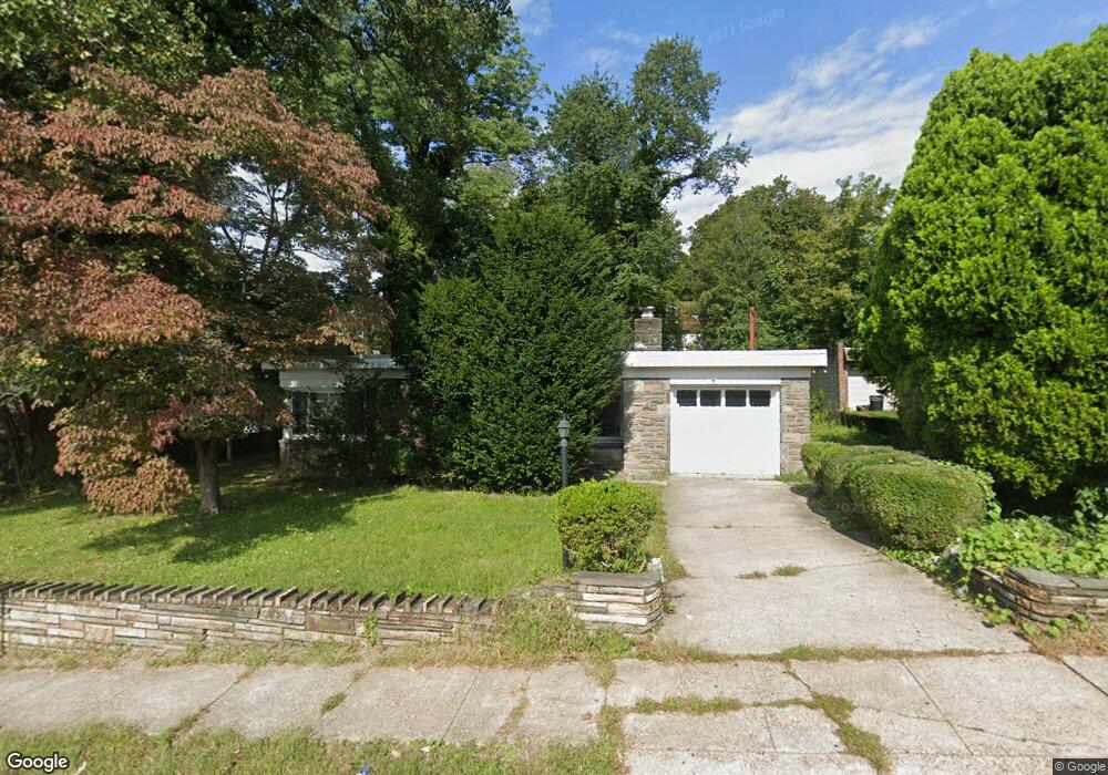
705 Whitby Ave Lansdowne, PA 19050
Estimated Value: $265,000 - $290,000
2
Beds
1
Bath
1,410
Sq Ft
$196/Sq Ft
Est. Value
About This Home
This home is located at 705 Whitby Ave, Lansdowne, PA 19050 and is currently estimated at $276,796, approximately $196 per square foot. 705 Whitby Ave is a home located in Delaware County with nearby schools including Evans Elementary School, Penn Wood Middle School, and Penn Wood High School - Cypress Street Campus.
Ownership History
Date
Name
Owned For
Owner Type
Purchase Details
Closed on
Jul 7, 2005
Sold by
Dimilo John A
Bought by
Gauther Sandra
Current Estimated Value
Home Financials for this Owner
Home Financials are based on the most recent Mortgage that was taken out on this home.
Original Mortgage
$137,500
Outstanding Balance
$71,823
Interest Rate
5.67%
Mortgage Type
Fannie Mae Freddie Mac
Estimated Equity
$204,973
Create a Home Valuation Report for This Property
The Home Valuation Report is an in-depth analysis detailing your home's value as well as a comparison with similar homes in the area
Home Values in the Area
Average Home Value in this Area
Purchase History
| Date | Buyer | Sale Price | Title Company |
|---|---|---|---|
| Gauther Sandra | $137,500 | First American Title Ins Co |
Source: Public Records
Mortgage History
| Date | Status | Borrower | Loan Amount |
|---|---|---|---|
| Open | Gauther Sandra | $137,500 |
Source: Public Records
Tax History
| Year | Tax Paid | Tax Assessment Tax Assessment Total Assessment is a certain percentage of the fair market value that is determined by local assessors to be the total taxable value of land and additions on the property. | Land | Improvement |
|---|---|---|---|---|
| 2025 | $6,347 | $148,640 | $46,250 | $102,390 |
| 2024 | $6,347 | $148,640 | $46,250 | $102,390 |
| 2023 | $5,764 | $148,640 | $46,250 | $102,390 |
| 2022 | $5,497 | $148,640 | $46,250 | $102,390 |
| 2021 | $8,312 | $148,640 | $46,250 | $102,390 |
| 2020 | $5,474 | $87,650 | $26,700 | $60,950 |
| 2019 | $5,377 | $87,650 | $26,700 | $60,950 |
| 2018 | $5,303 | $87,650 | $0 | $0 |
| 2017 | $5,192 | $87,650 | $0 | $0 |
| 2016 | $481 | $87,650 | $0 | $0 |
| 2015 | $481 | $87,650 | $0 | $0 |
| 2014 | $481 | $87,650 | $0 | $0 |
Source: Public Records
Map
Nearby Homes
- 707 Whitby Ave
- 701 Whitby Ave
- 704 Cedar Ave
- 709 Whitby Ave
- 700 Bullock Ave
- 706 Cedar Ave
- 702 Bullock Ave
- 701 Yeadon Ave
- 704 Bullock Ave
- 711 Whitby Ave
- 710 Cedar Ave
- 706 Bullock Ave
- 703 Yeadon Ave
- 701 Bullock Ave
- 703 Bullock Ave
- 708 Bullock Ave
- 705 Yeadon Ave
- 705 Bullock Ave
- 710 Bullock Ave
- 707 Yeadon Ave
Your Personal Tour Guide
Ask me questions while you tour the home.