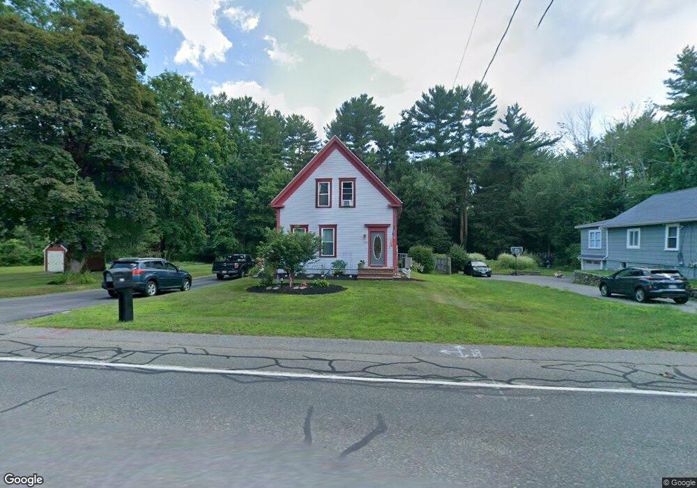
705 Whitman St Hanson, MA 02341
Estimated Value: $481,404 - $570,000
3
Beds
2
Baths
1,626
Sq Ft
$321/Sq Ft
Est. Value
About This Home
This home is located at 705 Whitman St, Hanson, MA 02341 and is currently estimated at $521,351, approximately $320 per square foot. 705 Whitman St is a home located in Plymouth County.
Ownership History
Date
Name
Owned For
Owner Type
Purchase Details
Closed on
Apr 29, 2025
Sold by
Gillis Neil J and Gillis Joann M
Bought by
Gillis Ft and Gillis
Current Estimated Value
Purchase Details
Closed on
Nov 19, 2004
Sold by
Derby Norman L
Bought by
Gillis Neil J and Gillis Joann
Home Financials for this Owner
Home Financials are based on the most recent Mortgage that was taken out on this home.
Original Mortgage
$289,750
Interest Rate
5.8%
Mortgage Type
Purchase Money Mortgage
Purchase Details
Closed on
May 17, 2004
Sold by
Chaponis Lawrence P
Bought by
Derby Norma L
Home Financials for this Owner
Home Financials are based on the most recent Mortgage that was taken out on this home.
Original Mortgage
$130,000
Interest Rate
5.47%
Mortgage Type
Purchase Money Mortgage
Create a Home Valuation Report for This Property
The Home Valuation Report is an in-depth analysis detailing your home's value as well as a comparison with similar homes in the area
Home Values in the Area
Average Home Value in this Area
Purchase History
| Date | Buyer | Sale Price | Title Company |
|---|---|---|---|
| Gillis Ft | -- | None Available | |
| Gillis Ft | -- | None Available | |
| Gillis Neil J | $305,000 | -- | |
| Gillis Neil J | $305,000 | -- | |
| Derby Norma L | $95,000 | -- | |
| Derby Norma L | $95,000 | -- |
Source: Public Records
Mortgage History
| Date | Status | Borrower | Loan Amount |
|---|---|---|---|
| Previous Owner | Derby Norma L | $289,750 | |
| Previous Owner | Derby Norma L | $130,000 |
Source: Public Records
Tax History
| Year | Tax Paid | Tax Assessment Tax Assessment Total Assessment is a certain percentage of the fair market value that is determined by local assessors to be the total taxable value of land and additions on the property. | Land | Improvement |
|---|---|---|---|---|
| 2025 | $4,785 | $357,600 | $165,500 | $192,100 |
| 2024 | $4,138 | $309,300 | $160,700 | $148,600 |
| 2023 | $4,163 | $293,600 | $160,700 | $132,900 |
| 2022 | $4,076 | $270,100 | $146,100 | $124,000 |
| 2021 | $3,731 | $247,100 | $140,500 | $106,600 |
| 2020 | $3,546 | $232,200 | $135,700 | $96,500 |
| 2019 | $5,786 | $223,100 | $133,100 | $90,000 |
| 2018 | $3,430 | $216,700 | $128,000 | $88,700 |
| 2017 | $3,329 | $208,300 | $121,900 | $86,400 |
| 2016 | $3,418 | $206,500 | $121,900 | $84,600 |
| 2015 | $3,265 | $205,100 | $121,900 | $83,200 |
Source: Public Records
Map
Nearby Homes
- 724 Whitman St
- 22 Howland Trail Unit 34
- 17 Hayford Trail Unit 12
- 7 Hayford Trail Unit 12
- 5 Hayford Trail Unit 11
- 23 Live Oak Way
- Lot 5 Princeton Way
- 84 Liberty St
- 10 Proud Foot Way
- 139 Fairwood Dr
- 26 Stonebridge Dr
- 10 Birch Bottom Cir
- 108 Waterford Dr
- 214 Winter St
- 361 County Rd
- 361A County Rd
- 161 Winter St Unit 11
- 430 Brook Bend Rd
- Lot 6 Way
- 5 Alpine St
Your Personal Tour Guide
Ask me questions while you tour the home.