Estimated Value: $333,103 - $503,000
4
Beds
3
Baths
1,669
Sq Ft
$246/Sq Ft
Est. Value
About This Home
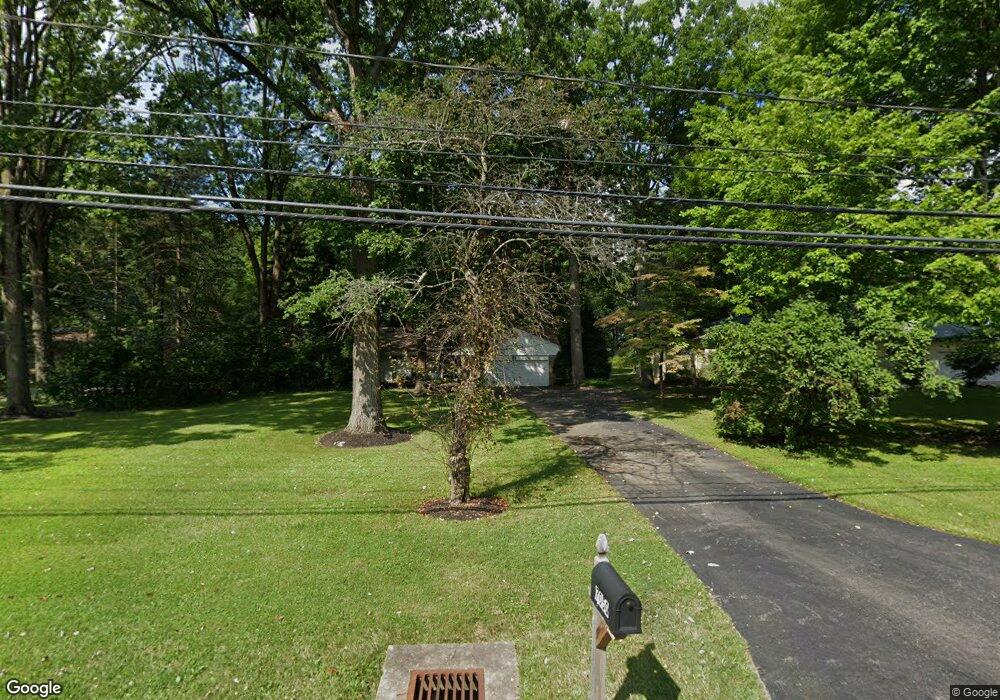
This home is located at 7050 Liberty Rd, Solon, OH 44139 and is currently estimated at $411,026, approximately $246 per square foot. 7050 Liberty Rd is a home located in Cuyahoga County with nearby schools including Orchard Middle School, Parkside Elementary School, and Solon Middle School.
Ownership History
Date
Name
Owned For
Owner Type
Purchase Details
Closed on
May 13, 1994
Sold by
Desantis George J
Bought by
Armstead Terry B
Current Estimated Value
Purchase Details
Closed on
Sep 17, 1981
Sold by
Tooey Helen
Bought by
Desantis George J
Purchase Details
Closed on
Sep 4, 1981
Sold by
Dingeldey Elmer W
Bought by
Tooey Helen
Purchase Details
Closed on
Jul 25, 1975
Sold by
Casses John J and Casses Armis A
Bought by
Dingeldey Elmer W
Purchase Details
Closed on
Jan 1, 1975
Bought by
Casses John J and Casses Armis A
Create a Home Valuation Report for This Property
The Home Valuation Report is an in-depth analysis detailing your home's value as well as a comparison with similar homes in the area
Home Values in the Area
Average Home Value in this Area
Purchase History
| Date | Buyer | Sale Price | Title Company |
|---|---|---|---|
| Armstead Terry B | $155,000 | -- | |
| Desantis George J | $70,000 | -- | |
| Tooey Helen | -- | -- | |
| Dingeldey Elmer W | $50,000 | -- | |
| Casses John J | -- | -- |
Source: Public Records
Tax History Compared to Growth
Tax History
| Year | Tax Paid | Tax Assessment Tax Assessment Total Assessment is a certain percentage of the fair market value that is determined by local assessors to be the total taxable value of land and additions on the property. | Land | Improvement |
|---|---|---|---|---|
| 2024 | $5,754 | $105,140 | $22,015 | $83,125 |
| 2023 | $5,335 | $79,730 | $17,150 | $62,580 |
| 2022 | $5,323 | $79,730 | $17,150 | $62,580 |
| 2021 | $5,263 | $79,730 | $17,150 | $62,580 |
| 2020 | $4,876 | $67,550 | $14,530 | $53,030 |
| 2019 | $5,082 | $193,000 | $41,500 | $151,500 |
| 2018 | $4,562 | $67,550 | $14,530 | $53,030 |
| 2017 | $4,577 | $63,710 | $11,310 | $52,400 |
| 2016 | $4,537 | $63,710 | $11,310 | $52,400 |
| 2015 | $4,369 | $63,710 | $11,310 | $52,400 |
| 2014 | $4,369 | $58,980 | $10,470 | $48,510 |
Source: Public Records
Map
Nearby Homes
- 36015 Spatterdock Ln
- 35160 Spatterdock Ln
- 7256 Dursley Ct
- 7260 Annadale Dr
- 36965 Wexford Dr
- 37395 Wexford Dr
- 7032 Navajo Trail
- 7372 Liberty Rd
- 7071 Navajo Trail
- 7460 Hillside Ln
- VL Aurora Rd
- 7161 Som Center Rd
- 38450 Pettibone Rd
- 7375 Som Center Rd
- 7471 Som Center Rd
- 6454 Huntington Dr
- 33203 Brackenbury Dr
- 32756 Washington Ct Unit 56
- 32469 Jefferson Dr Unit 3
- 6676 Solon Blvd
- 7040 Liberty Rd
- 7060 Liberty Rd
- 7020 Liberty Rd
- 7070 Liberty Rd
- 7012 Liberty Rd
- 7055 Liberty Rd
- 7004 Liberty Rd
- 7071 Liberty Rd
- 35925 Sedge Cir
- 7090 Liberty Rd
- 7081 Liberty Rd
- 6990 Liberty Rd
- 35895 Sedge Cir
- 7045 Liberty Rd
- 7100 Liberty Rd
- 7015 Liberty Rd
- 7093 Liberty Rd
- 35950 Sedge Cir
- 35875 Sedge Cir
- 7110 Liberty Rd