7051 E Apache Dr Pearce, AZ 85625
Estimated Value: $93,000 - $218,000
1
Bed
2
Baths
960
Sq Ft
$154/Sq Ft
Est. Value
About This Home
This home is located at 7051 E Apache Dr, Pearce, AZ 85625 and is currently estimated at $147,572, approximately $153 per square foot. 7051 E Apache Dr is a home located in Cochise County with nearby schools including Ash Creek Elementary School and Valley Union High School.
Ownership History
Date
Name
Owned For
Owner Type
Purchase Details
Closed on
May 26, 2016
Sold by
Ray Danny K and Laughlin Helen M
Bought by
Ray Danny K and Laughlin Helen M
Current Estimated Value
Purchase Details
Closed on
Mar 27, 2015
Sold by
U S Bank National Association
Bought by
Cr Properties 2015 Llc
Purchase Details
Closed on
Jan 15, 2015
Sold by
Cr Properties 2015 Llc
Bought by
Ray Danny and Laughlin Helen
Purchase Details
Closed on
Sep 11, 2014
Sold by
Clark Stephanie
Bought by
U S Bank National Association
Purchase Details
Closed on
Nov 2, 2005
Sold by
Nienhaus Margarita Carmen
Bought by
Clark Stephanie
Home Financials for this Owner
Home Financials are based on the most recent Mortgage that was taken out on this home.
Original Mortgage
$50,100
Interest Rate
7.62%
Mortgage Type
New Conventional
Create a Home Valuation Report for This Property
The Home Valuation Report is an in-depth analysis detailing your home's value as well as a comparison with similar homes in the area
Purchase History
| Date | Buyer | Sale Price | Title Company |
|---|---|---|---|
| Ray Danny K | -- | None Available | |
| Cr Properties 2015 Llc | $12,100 | None Available | |
| Ray Danny | $12,200 | None Available | |
| U S Bank National Association | -- | Accommodation | |
| Clark Stephanie | $59,000 | Pioneer Title Agency |
Source: Public Records
Mortgage History
| Date | Status | Borrower | Loan Amount |
|---|---|---|---|
| Previous Owner | Clark Stephanie | $50,100 |
Source: Public Records
Tax History
| Year | Tax Paid | Tax Assessment Tax Assessment Total Assessment is a certain percentage of the fair market value that is determined by local assessors to be the total taxable value of land and additions on the property. | Land | Improvement |
|---|---|---|---|---|
| 2025 | $702 | $7,846 | $1,480 | $6,366 |
| 2024 | $702 | $6,968 | $1,480 | $5,488 |
| 2023 | $726 | $6,190 | $1,480 | $4,710 |
| 2022 | $721 | $5,318 | $1,480 | $3,838 |
| 2021 | $713 | $5,255 | $1,480 | $3,775 |
| 2020 | $680 | $0 | $0 | $0 |
| 2019 | $676 | $0 | $0 | $0 |
| 2018 | $642 | $0 | $0 | $0 |
| 2017 | $643 | $0 | $0 | $0 |
| 2016 | $619 | $0 | $0 | $0 |
| 2015 | -- | $0 | $0 | $0 |
Source: Public Records
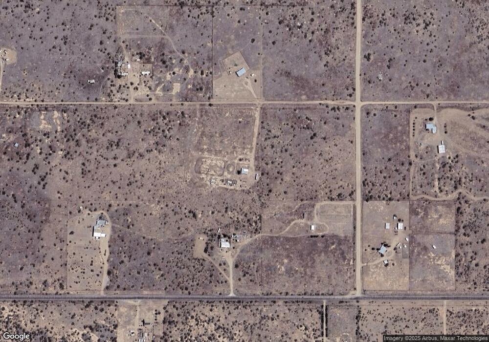
Map
Nearby Homes
- 13384 S Cottonwood Rd
- 0 Hwy 181 Unit 4
- 13168 S Hawk Ln
- 6200 E Apache Dr Unit 6
- 5 AC Lydy Ave Unit B
- Lot 3 Highway 181 Unit 3
- 18 Acres E Mockingbird Rd Unit 117&124
- 40 Acres S Desert Willow Rd Unit 49
- 46 Acres Ash Creek Rd
- TBD E Chiricahua Dr Unit 120
- 28 Acres E Chiricahua Dr
- 13242 S Kit Carson Rd
- TBD 40 Acres Tyree Rd Unit 118
- 5 Acres N Morgan Rd Unit B
- 5 Acres N Morgan Rd Unit E
- 18.5 Acres N Morgan Rd Unit E
- 1 Lot E Mockingbird Rd Unit 19
- 6414 Arizona 181 Unit 214E2
- 13222 S Chato Rd
- 6160 San Carlos Dr Unit 14
- 7036 E Highway 181
- 13351 S Cottonwood Rd
- 7050 E Apache Dr
- 6960 E Highway 181
- 6991 E Highway 181
- 7133 E Apache Dr
- 0 S Trails End Rd Unit 21204710
- 0 S Trails End Rd Unit 22116329
- 0 S Trails End Rd Unit 22116331
- 0 Apache Off Cottonwood Dr Unit 20806708
- 4 Acre Cottonwood & Apache Dr
- 7041 E Highway 181
- 0 4 Acre Apache Dr Unit 2 20804632
- 0 8 Acre On Cottonwood Dr Unit 20804640
- 0 4 Acre Apache Dr Unit 1 20804627
- 13328 S Bearcat Rd
- 6955 E Trails End Rd
- 6955 E Trails End Rd Unit 43
- 6955 E Trails End Rd
- 6955 E Trails End -- Unit 43
Your Personal Tour Guide
Ask me questions while you tour the home.