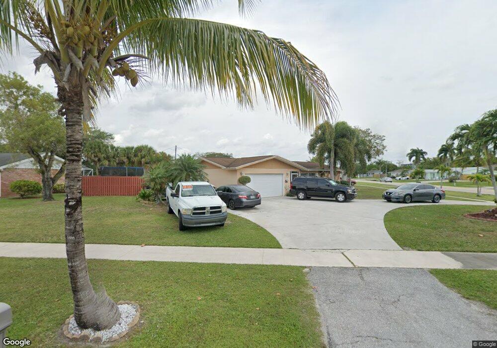
7051 Saint Andrews Rd Lake Worth, FL 33467
Palm Beach National NeighborhoodEstimated Value: $449,211 - $581,000
--
Bed
2
Baths
1,667
Sq Ft
$313/Sq Ft
Est. Value
About This Home
This home is located at 7051 Saint Andrews Rd, Lake Worth, FL 33467 and is currently estimated at $522,303, approximately $313 per square foot. 7051 Saint Andrews Rd is a home located in Palm Beach County with nearby schools including Liberty Park Elementary School, Okeeheelee Middle School, and Montessori Academy of Early Enrichment.
Ownership History
Date
Name
Owned For
Owner Type
Purchase Details
Closed on
Feb 16, 2000
Sold by
Sterling Thomas J and Sterling Aida R
Bought by
Garcia Cynthia
Current Estimated Value
Home Financials for this Owner
Home Financials are based on the most recent Mortgage that was taken out on this home.
Original Mortgage
$3,650
Outstanding Balance
$1,207
Interest Rate
8.17%
Estimated Equity
$521,096
Purchase Details
Closed on
Sep 28, 1995
Sold by
Arndt Richard L and Arndt Pamela L
Bought by
Sterling Thomas J and Sterling Aida R
Home Financials for this Owner
Home Financials are based on the most recent Mortgage that was taken out on this home.
Original Mortgage
$99,700
Interest Rate
7.93%
Create a Home Valuation Report for This Property
The Home Valuation Report is an in-depth analysis detailing your home's value as well as a comparison with similar homes in the area
Home Values in the Area
Average Home Value in this Area
Purchase History
| Date | Buyer | Sale Price | Title Company |
|---|---|---|---|
| Garcia Cynthia | $133,000 | -- | |
| Sterling Thomas J | $105,000 | -- |
Source: Public Records
Mortgage History
| Date | Status | Borrower | Loan Amount |
|---|---|---|---|
| Open | Garcia Cynthia | $3,650 | |
| Previous Owner | Sterling Thomas J | $99,700 |
Source: Public Records
Tax History Compared to Growth
Tax History
| Year | Tax Paid | Tax Assessment Tax Assessment Total Assessment is a certain percentage of the fair market value that is determined by local assessors to be the total taxable value of land and additions on the property. | Land | Improvement |
|---|---|---|---|---|
| 2024 | $2,844 | $182,518 | -- | -- |
| 2023 | $2,761 | $177,202 | $0 | $0 |
| 2022 | $2,725 | $172,041 | $0 | $0 |
| 2021 | $2,677 | $167,030 | $0 | $0 |
| 2020 | $2,648 | $164,724 | $0 | $0 |
| 2019 | $2,613 | $161,021 | $0 | $0 |
| 2018 | $2,455 | $158,019 | $0 | $0 |
| 2017 | $2,405 | $154,769 | $0 | $0 |
| 2016 | $2,402 | $151,586 | $0 | $0 |
| 2015 | $2,453 | $150,532 | $0 | $0 |
| 2014 | $2,455 | $149,337 | $0 | $0 |
Source: Public Records
Map
Nearby Homes
- 228 Down Ln E
- 3286 Arcara Way Unit 2130
- 3286 Arcara Way Unit 1010
- 3286 Arcara Way Unit 3130
- 207 Cape Cod Cir
- 289 Cape Cod Cir
- 3593 Birdie Dr Unit 5070
- 176 Cape Cod Cir
- 316 Cape Cod Cir Unit B
- 6850 10th Ave N Unit 1010
- 6850 10th Ave N Unit 2060
- 3212 Strawflower Way Unit 210
- 3595 Birdie Dr Unit 2030
- 3595 Birdie Dr Unit 4060
- 3595 Birdie Dr Unit 5040
- 3465 Via Poinciana Unit 6060
- 3465 Via Poinciana Unit 1030
- 3465 Via Poinciana Unit 8060
- 3465 Via Poinciana Unit 7050
- 603 Laconia Cir Unit 603
- 7071 Saint Andrews Rd
- 3433 Pinehurst Dr
- 7089 Saint Andrews Rd
- 3413 Pinehurst Dr
- 3454 Pinehurst Dr
- 7070 Saint Andrews Rd
- 3436 Pinehurst Dr
- 3472 Pinehurst Dr
- 3434 Baltusrol Ln
- 3414 Baltusrol Ln
- 3416 Pinehurst Dr
- 7080 Saint Andrews Rd
- 3492 Pinehurst Dr
- 3395 Pinehurst Dr
- 7107 Saint Andrews Rd
- 3396 Baltusrol Ln
- 3398 Pinehurst Dr
- 7108 Saint Andrews Rd
- 239 Down East Ln Unit 239
- 3377 Pinehurst Dr