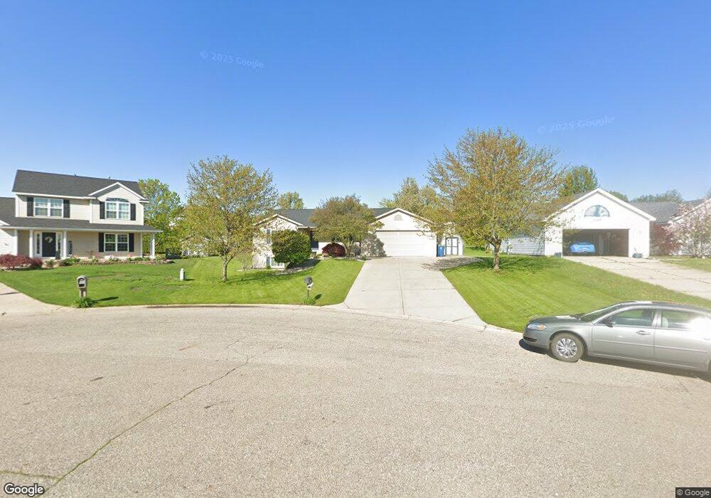
7053 Crimson Ct Hudsonville, MI 49426
Estimated Value: $369,023 - $456,000
2
Beds
2
Baths
1,253
Sq Ft
$320/Sq Ft
Est. Value
About This Home
This home is located at 7053 Crimson Ct, Hudsonville, MI 49426 and is currently estimated at $401,256, approximately $320 per square foot. 7053 Crimson Ct is a home located in Ottawa County with nearby schools including Baldwin Street Middle School, Hudsonville Freshman Campus, and Hudsonville High School.
Ownership History
Date
Name
Owned For
Owner Type
Purchase Details
Closed on
Nov 1, 2024
Sold by
Koole Scott D and Koole Suzanne M
Bought by
Scott And Suzanne Trust and Koole
Current Estimated Value
Purchase Details
Closed on
Oct 2, 2003
Sold by
Koole Suzanne M and Koole Suzanne D
Bought by
Koole Scott D and Koole Suzanne M
Home Financials for this Owner
Home Financials are based on the most recent Mortgage that was taken out on this home.
Original Mortgage
$102,620
Interest Rate
6.23%
Mortgage Type
Stand Alone Refi Refinance Of Original Loan
Create a Home Valuation Report for This Property
The Home Valuation Report is an in-depth analysis detailing your home's value as well as a comparison with similar homes in the area
Home Values in the Area
Average Home Value in this Area
Purchase History
| Date | Buyer | Sale Price | Title Company |
|---|---|---|---|
| Scott And Suzanne Trust | -- | None Listed On Document | |
| Koole Scott D | -- | Crowne Title Agency |
Source: Public Records
Mortgage History
| Date | Status | Borrower | Loan Amount |
|---|---|---|---|
| Previous Owner | Koole Scott D | $102,620 |
Source: Public Records
Tax History Compared to Growth
Tax History
| Year | Tax Paid | Tax Assessment Tax Assessment Total Assessment is a certain percentage of the fair market value that is determined by local assessors to be the total taxable value of land and additions on the property. | Land | Improvement |
|---|---|---|---|---|
| 2025 | $2,711 | $163,100 | $0 | $0 |
| 2024 | $2,346 | $155,400 | $0 | $0 |
| 2023 | $2,241 | $130,800 | $0 | $0 |
| 2022 | $2,462 | $117,300 | $0 | $0 |
| 2021 | $2,392 | $112,800 | $0 | $0 |
| 2020 | $2,367 | $104,400 | $0 | $0 |
| 2019 | $2,371 | $102,000 | $0 | $0 |
| 2018 | $2,210 | $99,700 | $0 | $0 |
| 2017 | $2,170 | $100,000 | $0 | $0 |
| 2016 | $2,157 | $94,200 | $0 | $0 |
| 2015 | $2,059 | $90,400 | $0 | $0 |
| 2014 | $2,059 | $80,300 | $0 | $0 |
Source: Public Records
Map
Nearby Homes
- 7313 Valhalla Dr
- 7318 Alycia Dr
- 7381 Rolling Hills Dr
- 2921 N Wentward Ct
- 3528 Tearose Dr
- 6760 N Wentward Ct
- 2969 Osprey Dr Unit 27
- 6722 N Wentward Ct Unit 77
- 3617 Teton Dr
- 3544 Nobb Hill Dr
- V/L Port Sheldon St
- 3204 Port Sheldon St
- 6714 Cedar Grove W
- 2698 Cedargrove N
- 6724 28th Ave
- 7068 Jasper Dr
- 6950 Meadowcreek Dr
- 6340 Summer Dr
- 2934 Parkside Dr Unit 54
- 2682 Thrush Dr
- 7065 Crimson Ct
- 7043 Crimson Ct
- 3229 Camrose Dr
- 3237 Camrose Dr
- 7077 Crimson Ct
- 3217 Camrose Dr
- 7048 Crimson Ct
- 3215 Deep Rose Dr
- 3158 Maplepond Dr
- 3179 Rosewood St
- 3197 Rosewood St
- 3197 Rosewood St
- 3209 Camrose Dr
- 3219 Deep Rose Dr
- 7052 Crimson Ct
- 7088 Crimson Ct
- 7091 Crimson Ct
- 3165 Rosewood St
- 3142 Maplepond Dr
- 3223 Deep Rose Dr