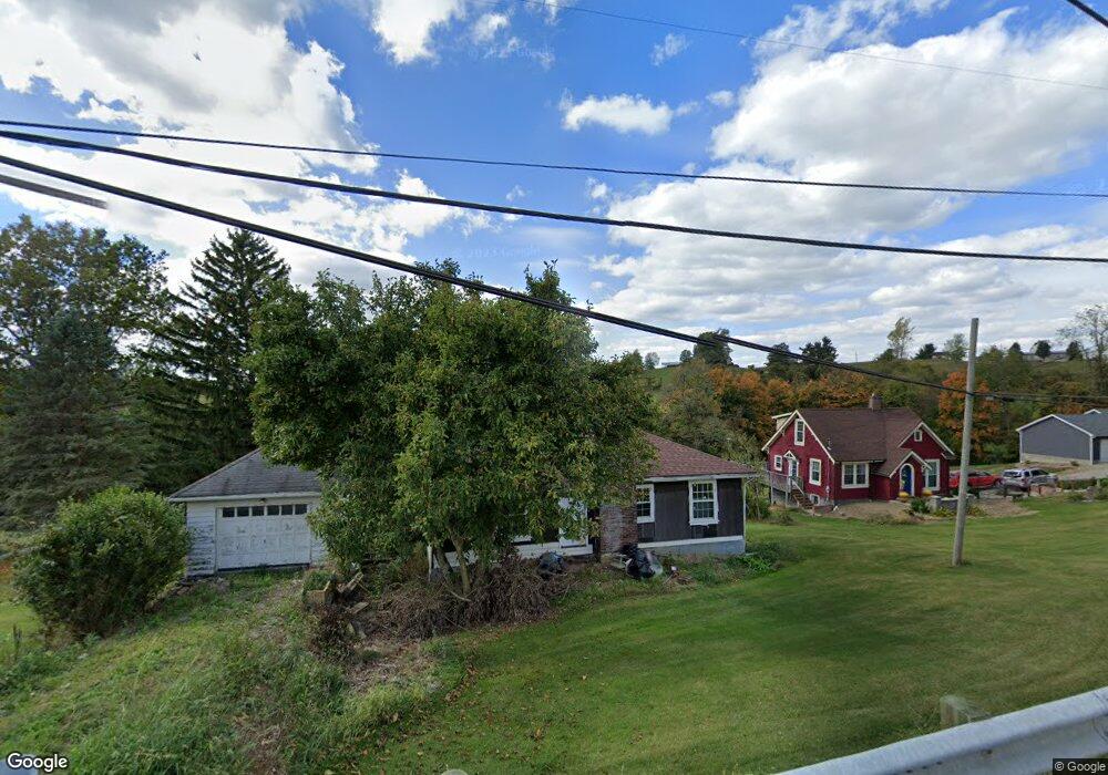
70578 Colerain Rd Bridgeport, OH 43912
Estimated Value: $96,301 - $217,000
3
Beds
2
Baths
988
Sq Ft
$157/Sq Ft
Est. Value
About This Home
This home is located at 70578 Colerain Rd, Bridgeport, OH 43912 and is currently estimated at $155,075, approximately $156 per square foot. 70578 Colerain Rd is a home located in Belmont County with nearby schools including Anna Marie Ayers Elementary School, Martins Ferry Middle School, and Martins Ferry High School.
Ownership History
Date
Name
Owned For
Owner Type
Purchase Details
Closed on
Jul 12, 2019
Sold by
Rickus John D
Bought by
Mccullough Kathryn M
Current Estimated Value
Purchase Details
Closed on
Sep 30, 2010
Sold by
Hammond Donna J
Bought by
Rickus John D
Purchase Details
Closed on
Sep 20, 2010
Sold by
Latour Judy C and Latour Kurt R
Bought by
Rickus John D
Purchase Details
Closed on
Jul 17, 2009
Sold by
Estate Of Irene A Rickus
Bought by
Rickus George B
Purchase Details
Closed on
Jan 1, 1987
Sold by
Rickus George B and Rickus Irene
Bought by
Rickus George B and Rickus Irene
Create a Home Valuation Report for This Property
The Home Valuation Report is an in-depth analysis detailing your home's value as well as a comparison with similar homes in the area
Home Values in the Area
Average Home Value in this Area
Purchase History
| Date | Buyer | Sale Price | Title Company |
|---|---|---|---|
| Mccullough Kathryn M | $1,000 | None Available | |
| Rickus John D | -- | Attorney | |
| Rickus John D | -- | None Available | |
| Latour Judy C | -- | None Available | |
| Rickus George B | -- | None Available | |
| Rickus George B | -- | -- |
Source: Public Records
Tax History Compared to Growth
Tax History
| Year | Tax Paid | Tax Assessment Tax Assessment Total Assessment is a certain percentage of the fair market value that is determined by local assessors to be the total taxable value of land and additions on the property. | Land | Improvement |
|---|---|---|---|---|
| 2024 | $750 | $20,490 | $7,280 | $13,210 |
| 2023 | $1,038 | $26,610 | $7,290 | $19,320 |
| 2022 | $1,038 | $26,614 | $7,290 | $19,324 |
| 2021 | $1,033 | $26,614 | $7,290 | $19,324 |
| 2020 | $955 | $23,140 | $6,340 | $16,800 |
| 2019 | $958 | $23,140 | $6,340 | $16,800 |
| 2018 | $974 | $23,140 | $6,340 | $16,800 |
| 2017 | $794 | $18,280 | $4,480 | $13,800 |
| 2016 | $799 | $18,280 | $4,480 | $13,800 |
| 2015 | $804 | $18,280 | $4,480 | $13,800 |
| 2014 | $779 | $18,440 | $4,070 | $14,370 |
| 2013 | $745 | $18,440 | $4,070 | $14,370 |
Source: Public Records
Map
Nearby Homes
- 70540 Colerain Rd
- 69895 Woods Rd
- 70610 Chermont Rd
- 70571 Pine Hollow Rd
- 69657 Chermont Rd
- 53760 Farmington Rd
- 68960 Pine Terrace Rd
- 53979 Colerain Pike
- 55273 Poplar Ave
- 54980 Maple Ave
- 71850 Colerain Rd
- 68511 Liston Ave
- 71900 Cope St
- 56745 Ferryview Rd
- 69282 Zelda Ave
- 69341 Old Cadiz Rd
- 55379 Barnes Rd
- 55490 National Rd
- 55500 National Rd
- 55480 National Rd
- 70584 Colerain Rd
- 70581 Colerain Rd
- 70560 Colerain Rd
- 70586 Colerain Rd
- 54883 Lawvers Dr
- 54833 Lawvers Dr
- 70550 Colerain Rd
- 54897 Lawvers Dr
- 70641 Colerain Rd
- 54919 Lawvers Dr
- 70641 Colerain Pike
- 54961 Lawvers Dr
- 54997 Lawvers Dr
- 70380 Angelo Rd
- 54999 Lawvers Dr
- 70200 Newland Dr
- 55031 Lawvers Dr
- 55041 Lawvers Dr
- 70080 Sunrise Dr
- 70120 Sunrise Dr