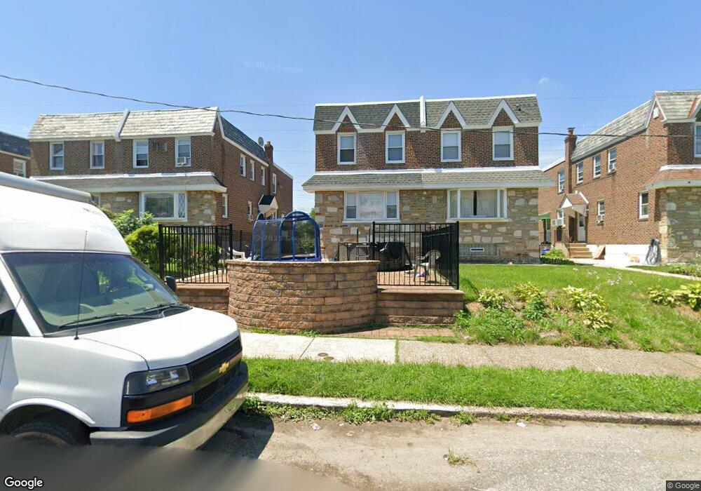
7058 Dorcas St Philadelphia, PA 19111
Castor Gardens NeighborhoodEstimated Value: $323,941 - $341,000
3
Beds
3
Baths
1,584
Sq Ft
$209/Sq Ft
Est. Value
About This Home
This home is located at 7058 Dorcas St, Philadelphia, PA 19111 and is currently estimated at $330,735, approximately $208 per square foot. 7058 Dorcas St is a home located in Philadelphia County with nearby schools including J. Hampton Moore School, Castor Gardens Middle School, and Northeast High School.
Ownership History
Date
Name
Owned For
Owner Type
Purchase Details
Closed on
Feb 23, 2011
Sold by
Finkelman Rochelle
Bought by
Mendez Ediburga P
Current Estimated Value
Home Financials for this Owner
Home Financials are based on the most recent Mortgage that was taken out on this home.
Original Mortgage
$131,300
Outstanding Balance
$90,228
Interest Rate
4.87%
Mortgage Type
FHA
Estimated Equity
$240,507
Create a Home Valuation Report for This Property
The Home Valuation Report is an in-depth analysis detailing your home's value as well as a comparison with similar homes in the area
Home Values in the Area
Average Home Value in this Area
Purchase History
| Date | Buyer | Sale Price | Title Company |
|---|---|---|---|
| Mendez Ediburga P | $150,000 | None Available |
Source: Public Records
Mortgage History
| Date | Status | Borrower | Loan Amount |
|---|---|---|---|
| Open | Mendez Ediburga P | $131,300 |
Source: Public Records
Tax History Compared to Growth
Tax History
| Year | Tax Paid | Tax Assessment Tax Assessment Total Assessment is a certain percentage of the fair market value that is determined by local assessors to be the total taxable value of land and additions on the property. | Land | Improvement |
|---|---|---|---|---|
| 2025 | $3,418 | $289,800 | $57,960 | $231,840 |
| 2024 | $3,418 | $289,800 | $57,960 | $231,840 |
| 2023 | $3,418 | $244,200 | $48,840 | $195,360 |
| 2022 | $1,883 | $199,200 | $48,840 | $150,360 |
| 2021 | $2,513 | $0 | $0 | $0 |
| 2020 | $2,513 | $0 | $0 | $0 |
| 2019 | $2,410 | $0 | $0 | $0 |
| 2018 | $2,275 | $0 | $0 | $0 |
| 2017 | $2,275 | $0 | $0 | $0 |
| 2016 | $2,275 | $0 | $0 | $0 |
| 2015 | $2,178 | $0 | $0 | $0 |
| 2014 | -- | $162,500 | $54,089 | $108,411 |
| 2012 | -- | $22,400 | $3,327 | $19,073 |
Source: Public Records
Map
Nearby Homes
- 1012 Saint Vincent St
- 1055 Tyson Ave
- 1019 Disston St
- 1114 Brighton St
- 1116 Friendship St
- 829 Disston St
- 7146-50 Montour St
- 1217 Princeton Ave
- 1202 Disston St
- 832 Knorr St
- 6839 Summerdale Ave
- 811 Knorr St
- 1133 Knorr St
- 7137 Lawndale Ave
- 1216 Knorr St
- 1024 Unruh Ave
- 1136 Kerper St
- 1117 Unruh Ave
- 1238 Glenview St
- 1305 Glenview St
- 7060 Dorcas St
- 7056 Dorcas St
- 7062 Dorcas St
- 7054 Dorcas St
- 7064 Dorcas St
- 7052 Dorcas St Unit 1
- 7052 Dorcas St
- 7050 Dorcas St
- 7066 Dorcas St
- 400 W 1000 S
- 7048 Dorcas St
- 1000 Friendship St
- 7055 Dorcas St
- 7046 Dorcas St
- 1002 Friendship St
- 7068 Dorcas St
- 7044 Dorcas St
- 7049 Dorcas St
- 1004 Friendship St
- 7053 Dorcas St