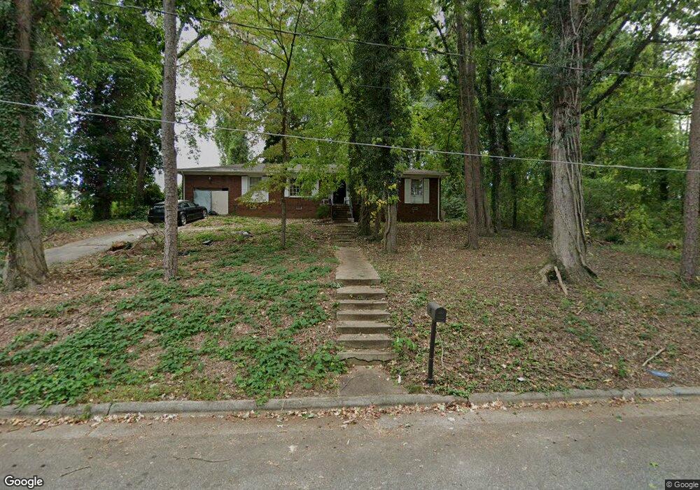
706 E Farriss Ave High Point, NC 27262
Greater High Point NeighborhoodEstimated Value: $185,872 - $244,000
3
Beds
2
Baths
1,540
Sq Ft
$144/Sq Ft
Est. Value
About This Home
This home is located at 706 E Farriss Ave, High Point, NC 27262 and is currently estimated at $221,968, approximately $144 per square foot. 706 E Farriss Ave is a home located in Guilford County with nearby schools including Kirkman Park Elementary School, Penn-Griffin School for the Arts, and T.W. Andrews High School.
Ownership History
Date
Name
Owned For
Owner Type
Purchase Details
Closed on
Jul 20, 2001
Bought by
Harris Lafonza E
Current Estimated Value
Purchase Details
Closed on
Feb 5, 1999
Sold by
American Homes Of High Point Inc
Bought by
Harris Lafonza E
Home Financials for this Owner
Home Financials are based on the most recent Mortgage that was taken out on this home.
Original Mortgage
$76,000
Interest Rate
6.8%
Create a Home Valuation Report for This Property
The Home Valuation Report is an in-depth analysis detailing your home's value as well as a comparison with similar homes in the area
Home Values in the Area
Average Home Value in this Area
Purchase History
| Date | Buyer | Sale Price | Title Company |
|---|---|---|---|
| Harris Lafonza E | -- | -- | |
| Harris Lafonza E | $95,000 | -- |
Source: Public Records
Mortgage History
| Date | Status | Borrower | Loan Amount |
|---|---|---|---|
| Previous Owner | Harris Lafonza E | $76,000 | |
| Closed | Harris Lafonza E | $19,000 |
Source: Public Records
Tax History
| Year | Tax Paid | Tax Assessment Tax Assessment Total Assessment is a certain percentage of the fair market value that is determined by local assessors to be the total taxable value of land and additions on the property. | Land | Improvement |
|---|---|---|---|---|
| 2025 | $1,718 | $124,700 | $14,000 | $110,700 |
| 2024 | $1,718 | $124,700 | $14,000 | $110,700 |
| 2023 | $1,718 | $124,700 | $14,000 | $110,700 |
| 2022 | $1,681 | $124,700 | $14,000 | $110,700 |
| 2021 | $1,421 | $103,100 | $14,000 | $89,100 |
| 2020 | $1,421 | $103,100 | $14,000 | $89,100 |
| 2019 | $1,421 | $103,100 | $0 | $0 |
| 2018 | $1,414 | $103,100 | $0 | $0 |
| 2017 | $1,421 | $103,100 | $0 | $0 |
| 2016 | $1,373 | $97,900 | $0 | $0 |
| 2015 | $1,380 | $97,900 | $0 | $0 |
| 2014 | $1,404 | $97,900 | $0 | $0 |
Source: Public Records
Map
Nearby Homes
- 721 Forrest St
- 719 Forrest St
- 509 Woodrow Ave
- 910 E Dayton Ave
- 1108 Forrest St
- 1110 Forrest St
- 837 Willow Place
- 905 Mint Ave
- 844 Willow Place
- 513 Saunders Place Unit A & B
- 511 Saunders Place Unit A & B
- 304 Louise Ave
- 1604 E Lexington Ave
- 1308 Boundary Ave
- 828 Circle Dr
- 1310 Madison St
- 1428 Futrelle Dr
- 613 Woodridge Ln
- 1012 Meadowbrook Blvd
- 1129 Bridges Dr
- 704 E Farriss Ave
- 1005 N Centennial St
- 1007 N Centennial St
- 702 E Farriss Ave
- 1003 N Centennial St
- 707 Sherwood Place
- 705 Sherwood Place
- 1001 N Centennial St
- 700 E Farriss Ave
- 1008 N Centennial St
- 703 Sherwood Place
- 1004 N Centennial St
- 701 Sherwood Place
- 1000 N Centennial St
- 915 N Centennial St
- 802 E Farriss Ave
- 1019 O A Kirkman Way
- 1007 O A Kirkman
- 606 E Farriss Ave
- 913 N Centennial St
Your Personal Tour Guide
Ask me questions while you tour the home.