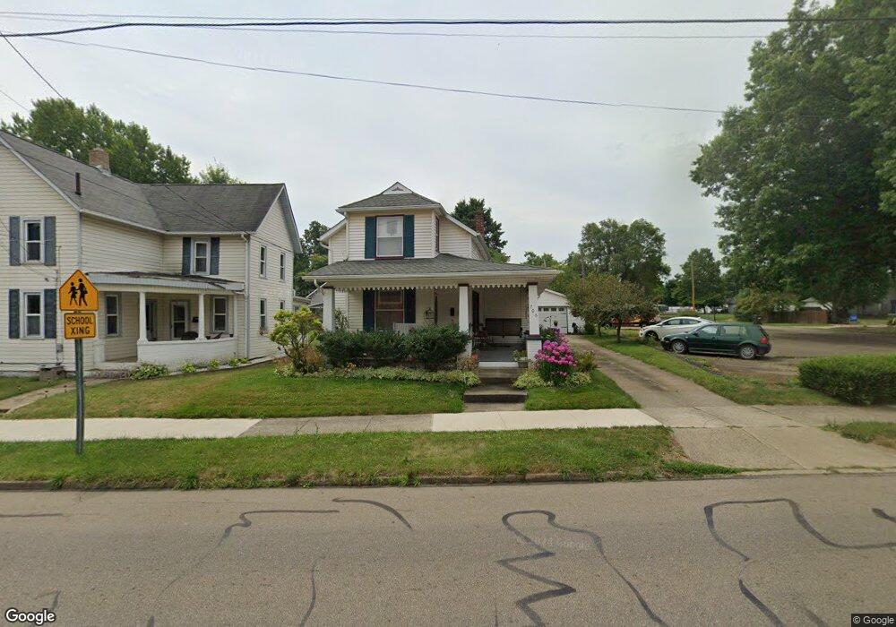
706 E Main St Louisville, OH 44641
Estimated Value: $139,000 - $164,000
3
Beds
2
Baths
1,103
Sq Ft
$141/Sq Ft
Est. Value
About This Home
This home is located at 706 E Main St, Louisville, OH 44641 and is currently estimated at $155,102, approximately $140 per square foot. 706 E Main St is a home located in Stark County with nearby schools including Louisville High School and St. Thomas Aquinas High School & Middle School.
Ownership History
Date
Name
Owned For
Owner Type
Purchase Details
Closed on
Sep 23, 1998
Sold by
Witts Timothy A
Bought by
Keith Timothy H and Keith Linda J
Current Estimated Value
Home Financials for this Owner
Home Financials are based on the most recent Mortgage that was taken out on this home.
Original Mortgage
$47,000
Outstanding Balance
$10,118
Interest Rate
6.99%
Mortgage Type
New Conventional
Estimated Equity
$144,984
Purchase Details
Closed on
Aug 28, 1990
Create a Home Valuation Report for This Property
The Home Valuation Report is an in-depth analysis detailing your home's value as well as a comparison with similar homes in the area
Home Values in the Area
Average Home Value in this Area
Purchase History
| Date | Buyer | Sale Price | Title Company |
|---|---|---|---|
| Keith Timothy H | $82,000 | -- | |
| -- | $38,000 | -- |
Source: Public Records
Mortgage History
| Date | Status | Borrower | Loan Amount |
|---|---|---|---|
| Open | Keith Timothy H | $47,000 |
Source: Public Records
Tax History
| Year | Tax Paid | Tax Assessment Tax Assessment Total Assessment is a certain percentage of the fair market value that is determined by local assessors to be the total taxable value of land and additions on the property. | Land | Improvement |
|---|---|---|---|---|
| 2025 | -- | $38,610 | $10,780 | $27,830 |
| 2024 | -- | $38,610 | $10,780 | $27,830 |
| 2023 | $1,466 | $34,100 | $8,510 | $25,590 |
| 2022 | $1,471 | $34,100 | $8,510 | $25,590 |
| 2021 | $1,475 | $34,100 | $8,510 | $25,590 |
| 2020 | $1,183 | $29,690 | $7,670 | $22,020 |
| 2019 | $1,114 | $27,840 | $7,670 | $20,170 |
Source: Public Records
Map
Nearby Homes
- 408 E Gorgas St
- 1010 Washington Ave
- 319 Superior St
- 230 Superior St
- 313 Ickes Ct
- 304 South St
- 0 Michigan Blvd
- 1431 High St
- 901 N Marion Ave
- 280 Kennedy St
- 435 Honeycrisp Dr NE
- 1402 S Chapel St
- 1709 Edmar St
- 1830 Airpark Dr
- 316 E Reno Dr
- 161 Beau Chemin Ave Unit 6B
- 514 Reno Dr
- 704 Reno Dr
- 907 Park Village Dr
- 0 Menegay Rd
- 710 E Main St
- 716 E Main St
- 612 E Main St
- 718 E Main St
- 710 Schaffer Ct
- 714 Schaffer Ct
- 704 Schaffer Ct
- 802 E Main St
- 718 Schaffer Ct
- 600 E Main St
- 800 Schaffer Ct
- 118 S Walnut St
- 808 E Main St
- 122 S Walnut St
- 203 S Silver St
- 528 E Main St
- 207 S Silver St
- 805 E Main St
- 725 E Gorgas St
- 717 E Gorgas St
Your Personal Tour Guide
Ask me questions while you tour the home.