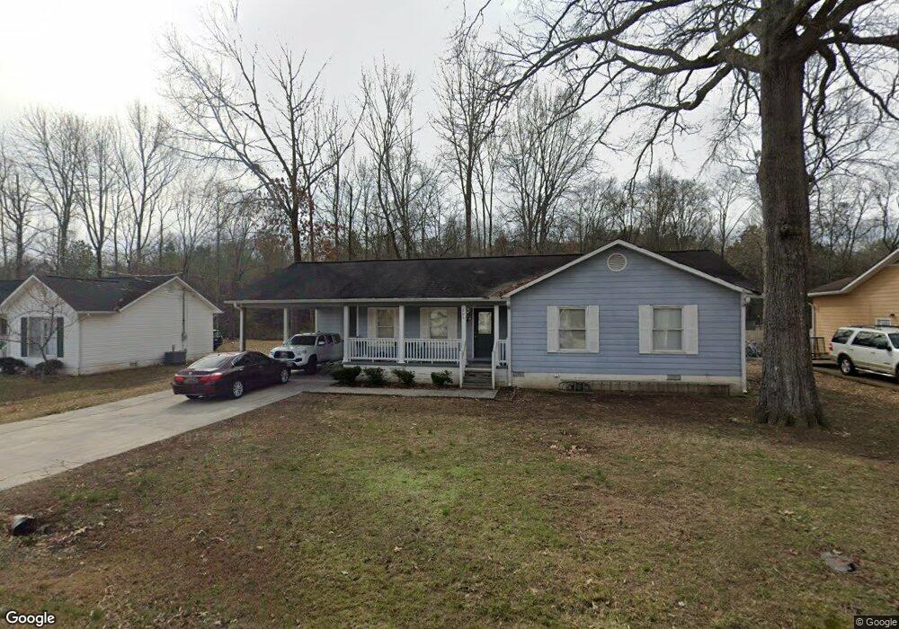
706 Forrest Ave Unit 1 Scottsboro, AL 35768
Estimated Value: $176,198 - $210,000
3
Beds
2
Baths
1,636
Sq Ft
$116/Sq Ft
Est. Value
About This Home
This home is located at 706 Forrest Ave Unit 1, Scottsboro, AL 35768 and is currently estimated at $190,300, approximately $116 per square foot. 706 Forrest Ave Unit 1 is a home located in Jackson County with nearby schools including Scottsboro High School.
Ownership History
Date
Name
Owned For
Owner Type
Purchase Details
Closed on
Jan 12, 2022
Sold by
Federal National Mortgage Assn
Bought by
Lloyd Rodney S
Current Estimated Value
Purchase Details
Closed on
Jan 20, 2012
Sold by
Fannie Mae
Bought by
Church Amy Sue
Home Financials for this Owner
Home Financials are based on the most recent Mortgage that was taken out on this home.
Original Mortgage
$61,402
Interest Rate
3.97%
Mortgage Type
New Conventional
Create a Home Valuation Report for This Property
The Home Valuation Report is an in-depth analysis detailing your home's value as well as a comparison with similar homes in the area
Home Values in the Area
Average Home Value in this Area
Purchase History
| Date | Buyer | Sale Price | Title Company |
|---|---|---|---|
| Lloyd Rodney S | -- | -- | |
| Church Amy Sue | $63,000 | -- |
Source: Public Records
Mortgage History
| Date | Status | Borrower | Loan Amount |
|---|---|---|---|
| Previous Owner | Church Amy Sue | $61,402 |
Source: Public Records
Tax History Compared to Growth
Tax History
| Year | Tax Paid | Tax Assessment Tax Assessment Total Assessment is a certain percentage of the fair market value that is determined by local assessors to be the total taxable value of land and additions on the property. | Land | Improvement |
|---|---|---|---|---|
| 2024 | $888 | $17,120 | $0 | $0 |
| 2023 | $830 | $17,240 | $0 | $0 |
| 2022 | $425 | $9,780 | $0 | $0 |
| 2021 | $425 | $9,780 | $0 | $0 |
| 2020 | $355 | $8,340 | $0 | $0 |
| 2019 | $355 | $8,340 | $0 | $0 |
| 2018 | $375 | $8,740 | $0 | $0 |
| 2017 | $375 | $87,300 | $0 | $0 |
| 2016 | $354 | $82,900 | $0 | $0 |
| 2015 | $354 | $82,900 | $0 | $0 |
| 2014 | $354 | $82,900 | $0 | $0 |
| 2013 | -- | $82,900 | $0 | $0 |
Source: Public Records
Map
Nearby Homes
- 525 Quincy St
- 528 Quincy St
- 610 E Willow St
- 2205 E Willow St
- 3303 E Willow St
- 5 Newport Dr
- 413 Alabama Ave
- 27 Alabama Ave
- 410 Ponroy St
- 166 Alabama Ave
- 109 Colonial Dr
- 260 E Maple Ave
- 303 Veterans Dr
- 25924 John T Reid Pkwy
- 306 Larkin St
- 39 S Kyle St
- 67 S Kyle St
- 312 Kirby St
- 305 S Hamilton Ave
- 212 S Kyle St
- 706 Forrest Ave
- 702 Forrest Ave
- 704 Forrest Ave
- 701 Forrest Ave
- 722 Forrest Ave
- 710 Forrest Ave
- 707 Forrest Ave
- 705 Forrest Ave
- 703 Forrest Ave
- 709 Forrest Ave
- 711 Forrest Ave
- 611 Forrest Ave
- 713 Forrest Ave
- 610 Forrest Ave
- 715 Forrest Ave Unit SVE
- 608 Forrest Ave
- 607 Forrest Ave
- 0 Forrest Ave Unit 1044811
- 606 Forrest Ave